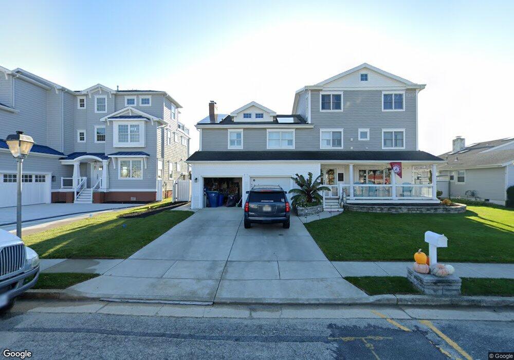
5118 Ocean Dr S Brigantine, NJ 08203
Estimated Value: $1,736,000 - $2,261,000
Studio
--
Bath
4,157
Sq Ft
$481/Sq Ft
Est. Value
About This Home
This home is located at 5118 Ocean Dr S, Brigantine, NJ 08203 and is currently estimated at $2,001,208, approximately $481 per square foot. 5118 Ocean Dr S is a home located in Atlantic County with nearby schools including Brigantine Elementary School.
Ownership History
Date
Name
Owned For
Owner Type
Purchase Details
Closed on
Nov 21, 2014
Sold by
Parker Jill
Bought by
Ma Am 5212 Llc
Current Estimated Value
Purchase Details
Closed on
Nov 23, 2012
Sold by
Prker John E and Prker Patricia A
Bought by
Parker Jill E
Purchase Details
Closed on
Jun 10, 1992
Sold by
Lahn Randall I
Bought by
Parker John E and Parker Patricia A
Create a Home Valuation Report for This Property
The Home Valuation Report is an in-depth analysis detailing your home's value as well as a comparison with similar homes in the area
Home Values in the Area
Average Home Value in this Area
Purchase History
| Date | Buyer | Sale Price | Title Company |
|---|---|---|---|
| Ma Am 5212 Llc | -- | None Available | |
| Ma Am 5118 Llc | -- | None Available | |
| Parker Jill E | -- | None Available | |
| Parker John E | $390,000 | -- |
Source: Public Records
Tax History Compared to Growth
Tax History
| Year | Tax Paid | Tax Assessment Tax Assessment Total Assessment is a certain percentage of the fair market value that is determined by local assessors to be the total taxable value of land and additions on the property. | Land | Improvement |
|---|---|---|---|---|
| 2025 | $19,627 | $1,044,000 | $573,600 | $470,400 |
| 2024 | $19,627 | $1,044,000 | $573,600 | $470,400 |
Source: Public Records
Map
Nearby Homes
- 5201 Waterview Dr
- 19 Surfside Rd
- 4901 Harbor Beach Blvd Unit A 3
- 4901 Harbor Beach Blvd Unit G9
- 4901 Harbor Beach Blvd Unit F-2
- 4901 Harbor Beach Blvd Unit M12
- 4901 Harbor Beach Blvd Unit N20
- 4901 Harbor Beach Blvd Unit C-13
- 4901 Harbor Beach Blvd Unit P-8
- 4901 Harbor Beach Blvd Unit G-8
- 4901 Harbor Beach P3 Blvd Unit P3
- 4800 Harbor Beach Blvd Unit 5101
- 6 Bramble Dr
- 9 Gull Cove
- 4540 W Brigantine Ave Unit S 201
- 4540 W Brigantine Ave Unit 102
- 108 Liberty Ave
- 310 Rainbow Dr
- 150 N Maine Ave
- 16 Lighthouse Ct Unit 27E
- 5120 Ocean Dr S
- 5116 Ocean Dr S
- 5114 Ocean Dr S
- 5119 Ocean Dr S
- 5117 Ocean Dr S
- 5200 Ocean Dr S
- 5115 Ocean Dr S
- 5112 Ocean Dr S
- 5201 Ocean Dr S
- 5113 Ocean Dr S
- 5202 Ocean Dr S
- 12 Sea Spray Ct
- 11 Sea Spray Ct
- 5203 Ocean Dr S
- 5110 Ocean Dr S
- 10 Sea Spray Ct
- 5111 Ocean Dr S
- 5205 Ocean Dr S
- 5204 Ocean Dr S
- 5200 Sea Spray Rd