Estimated Value: $212,265 - $233,000
3
Beds
2
Baths
1,310
Sq Ft
$169/Sq Ft
Est. Value
About This Home
This home is located at 5118 Spring St, Loris, SC 29569 and is currently estimated at $221,316, approximately $168 per square foot. 5118 Spring St is a home with nearby schools including Loris Elementary School, Loris Middle School, and Loris High School.
Ownership History
Date
Name
Owned For
Owner Type
Purchase Details
Closed on
Oct 30, 2006
Sold by
Norman Roberta M and Estate Of Anthony K Norman
Bought by
Norman Roberta M
Current Estimated Value
Purchase Details
Closed on
Mar 31, 2000
Sold by
Silverleaf Inc
Bought by
Norman Anthony K
Home Financials for this Owner
Home Financials are based on the most recent Mortgage that was taken out on this home.
Original Mortgage
$80,000
Outstanding Balance
$25,432
Interest Rate
8.29%
Mortgage Type
Purchase Money Mortgage
Estimated Equity
$195,884
Create a Home Valuation Report for This Property
The Home Valuation Report is an in-depth analysis detailing your home's value as well as a comparison with similar homes in the area
Home Values in the Area
Average Home Value in this Area
Purchase History
| Date | Buyer | Sale Price | Title Company |
|---|---|---|---|
| Norman Roberta M | -- | None Available | |
| Norman Anthony K | $83,000 | -- |
Source: Public Records
Mortgage History
| Date | Status | Borrower | Loan Amount |
|---|---|---|---|
| Open | Norman Anthony K | $80,000 |
Source: Public Records
Tax History
| Year | Tax Paid | Tax Assessment Tax Assessment Total Assessment is a certain percentage of the fair market value that is determined by local assessors to be the total taxable value of land and additions on the property. | Land | Improvement |
|---|---|---|---|---|
| 2025 | $919 | $0 | $0 | $0 |
| 2024 | $919 | $7,779 | $1,708 | $6,071 |
| 2023 | $919 | $4,695 | $571 | $4,124 |
| 2021 | $818 | $4,695 | $571 | $4,124 |
| 2020 | $806 | $4,695 | $571 | $4,124 |
| 2019 | $842 | $4,695 | $571 | $4,124 |
| 2018 | $774 | $4,283 | $571 | $3,712 |
| 2017 | $774 | $4,283 | $571 | $3,712 |
| 2016 | -- | $4,283 | $571 | $3,712 |
| 2015 | $759 | $4,284 | $572 | $3,712 |
| 2014 | $714 | $4,284 | $572 | $3,712 |
Source: Public Records
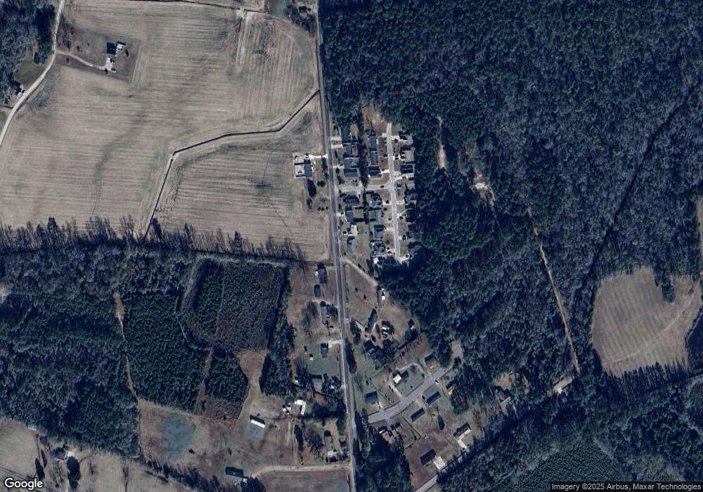
Map
Nearby Homes
- 2902 Silverleaf Cir
- 5176 Spring St
- 3637 Church St Unit Lot 38 Melanie
- 3604 Church St
- 3544 Franklin St
- TBD Paul St
- 4428 Stevens St
- 2323 Main St
- 4165 Stevens St
- 4206 Stevens St
- 3619 Pinewood Dr
- 3447 Main St
- 341 Highway 701 N
- 1228 Herman Rd
- Lot 1 Commerce Center
- Parcel B U S 701 Hwy
- Parcel C U S 701 Hwy
- Parcel A U S 701 Hwy
- 0.80 Acres-TBD State Road S-26-140
- 1.70 Acres-TBD State Road S-26-140
- 5130 Spring St
- 2908 Silverleaf Cir
- 2906 Silverleaf Cir
- 5148 Spring St
- 2910 Silverleaf Cir
- 2904 Silverleaf Cir
- 5085 Spring St
- 2905 Silverleaf Cir Unit Silverleaf
- 5157 Spring St
- 2909 Silverleaf Cir
- 2903 Silverleaf Cir
- 5160 Spring St
- 2901 Silverleaf Cir
- 5083 Spring St
- 2976 Silverleaf Cir Unit Lot 10 Julia
- 2976 Silverleaf Cir
- 5168 Spring St
- Lot 13 Silverleaf Cir
- Lot 10 Silverleaf Cir
- 2974 Silverleaf Cir
Your Personal Tour Guide
Ask me questions while you tour the home.