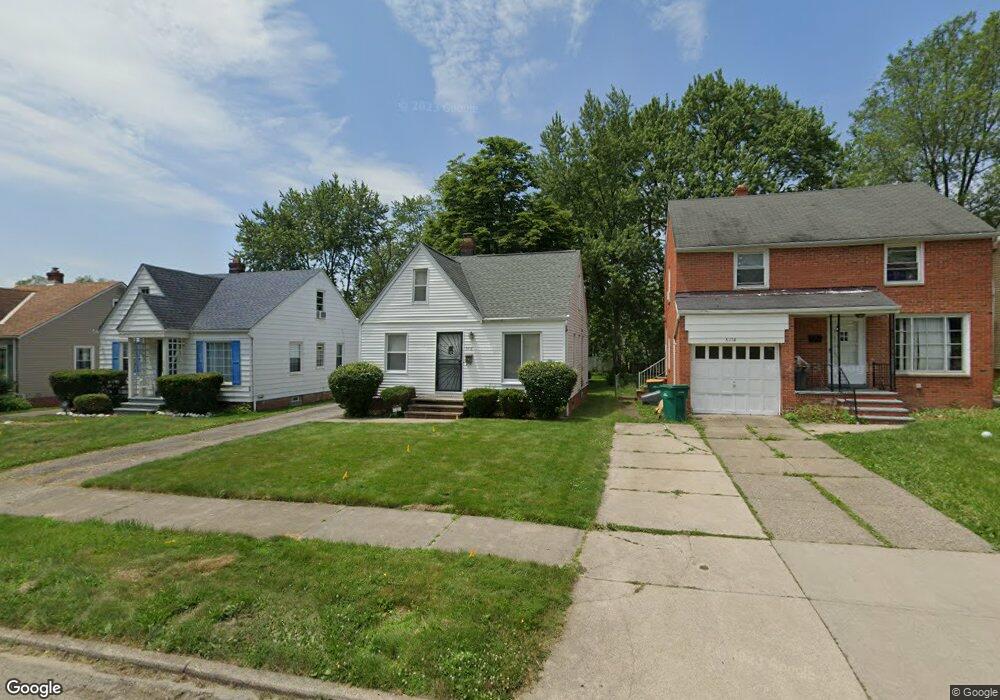
5118 Thomas St Maple Heights, OH 44137
Estimated Value: $101,000 - $122,000
3
Beds
1
Bath
1,080
Sq Ft
$104/Sq Ft
Est. Value
About This Home
This home is located at 5118 Thomas St, Maple Heights, OH 44137 and is currently estimated at $112,849, approximately $104 per square foot. 5118 Thomas St is a home located in Cuyahoga County with nearby schools including Abraham Lincoln Elementary School, Rockside/ J.F. Kennedy School, and Italy High School.
Ownership History
Date
Name
Owned For
Owner Type
Purchase Details
Closed on
Jul 9, 1990
Sold by
Kramer Roger S
Bought by
Walker Michael Lee
Current Estimated Value
Purchase Details
Closed on
Feb 9, 1990
Bought by
Kramer Roger S
Purchase Details
Closed on
Dec 27, 1989
Sold by
Firestone Richard J
Bought by
The First Federal Savings
Purchase Details
Closed on
Dec 19, 1978
Sold by
Dubbs Henry and Dubbs Henrietta
Bought by
Firestone Richard J
Purchase Details
Closed on
Jan 1, 1975
Bought by
Dubbs Henry and Dubbs Henrietta
Create a Home Valuation Report for This Property
The Home Valuation Report is an in-depth analysis detailing your home's value as well as a comparison with similar homes in the area
Home Values in the Area
Average Home Value in this Area
Purchase History
| Date | Buyer | Sale Price | Title Company |
|---|---|---|---|
| Walker Michael Lee | $53,900 | -- | |
| Kramer Roger S | $25,500 | -- | |
| The First Federal Savings | $32,000 | -- | |
| Firestone Richard J | $38,000 | -- | |
| Dubbs Henry | -- | -- |
Source: Public Records
Tax History Compared to Growth
Tax History
| Year | Tax Paid | Tax Assessment Tax Assessment Total Assessment is a certain percentage of the fair market value that is determined by local assessors to be the total taxable value of land and additions on the property. | Land | Improvement |
|---|---|---|---|---|
| 2024 | $3,222 | $35,735 | $7,140 | $28,595 |
| 2023 | $2,130 | $19,530 | $4,340 | $15,190 |
| 2022 | $2,122 | $19,530 | $4,340 | $15,190 |
| 2021 | $2,259 | $19,530 | $4,340 | $15,190 |
| 2020 | $1,938 | $14,810 | $3,290 | $11,520 |
| 2019 | $1,927 | $42,300 | $9,400 | $32,900 |
| 2018 | $1,916 | $14,810 | $3,290 | $11,520 |
| 2017 | $1,811 | $13,510 | $3,010 | $10,500 |
| 2016 | $1,752 | $13,510 | $3,010 | $10,500 |
| 2015 | $1,745 | $13,510 | $3,010 | $10,500 |
| 2014 | $1,745 | $14,850 | $3,330 | $11,520 |
Source: Public Records
Map
Nearby Homes
- 5110 Philip Ave
- 5082 Philip Ave
- 5061 Philip Ave
- 5231 Philip Ave
- 5031 Cato St
- 5185 Clement Ave
- 5199 Arch St
- 5208 Clement Ave
- 5257 Philip Ave
- 5239 Arch St
- 5212 Catherine St
- 5234 Erwin St
- 5320 Clement Ave
- 5210 Theodore St
- 17916 North Blvd
- 17912 North Blvd
- 16712 Kollin Ave
- 17806 Maple Heights Blvd
- 17204 Maple Heights Blvd
- 5357 Beechwood Ave
- 5114 Thomas St
- 5122 Thomas St
- 5126 Thomas St
- 5110 Thomas St
- 5130 Thomas St
- 5117 Philip Ave
- 5123 Philip Ave
- 5115 Philip Ave
- 5127 Philip Ave
- 5111 Philip Ave
- 5100 Thomas St
- 5134 Thomas St
- 5131 Philip Ave
- 5107 Philip Ave
- 5119 Thomas St
- 5123 Thomas St
- 5138 Thomas St
- 5111 Thomas St
- 5127 Thomas St
- 5135 Philip Ave