5119 Bill Davis Rd Summerton, SC 29148
Estimated Value: $235,260 - $329,000
4
Beds
3
Baths
2,464
Sq Ft
$121/Sq Ft
Est. Value
About This Home
This home is located at 5119 Bill Davis Rd, Summerton, SC 29148 and is currently estimated at $299,315, approximately $121 per square foot. 5119 Bill Davis Rd is a home located in Clarendon County with nearby schools including Clarendon Hall.
Ownership History
Date
Name
Owned For
Owner Type
Purchase Details
Closed on
Feb 28, 2011
Sold by
Benificial South Carolina Inc
Bought by
Robinson Robert E
Current Estimated Value
Home Financials for this Owner
Home Financials are based on the most recent Mortgage that was taken out on this home.
Original Mortgage
$121,899
Outstanding Balance
$83,168
Interest Rate
4.95%
Mortgage Type
New Conventional
Estimated Equity
$216,148
Purchase Details
Closed on
Aug 20, 2010
Sold by
Geddings William
Bought by
Beneficial South Carolina Inc
Purchase Details
Closed on
Jul 31, 2007
Sold by
Lafosse Nina Joy
Bought by
Mellerson Mamie
Home Financials for this Owner
Home Financials are based on the most recent Mortgage that was taken out on this home.
Original Mortgage
$159,310
Interest Rate
6.56%
Mortgage Type
Stand Alone Second
Create a Home Valuation Report for This Property
The Home Valuation Report is an in-depth analysis detailing your home's value as well as a comparison with similar homes in the area
Purchase History
| Date | Buyer | Sale Price | Title Company |
|---|---|---|---|
| Robinson Robert E | $111,750 | None Available | |
| Beneficial South Carolina Inc | -- | None Available | |
| Mellerson Mamie | $179,000 | Attorney |
Source: Public Records
Mortgage History
| Date | Status | Borrower | Loan Amount |
|---|---|---|---|
| Open | Robinson Robert E | $121,899 | |
| Previous Owner | Mellerson Mamie | $159,310 |
Source: Public Records
Tax History
| Year | Tax Paid | Tax Assessment Tax Assessment Total Assessment is a certain percentage of the fair market value that is determined by local assessors to be the total taxable value of land and additions on the property. | Land | Improvement |
|---|---|---|---|---|
| 2025 | $1,779 | $7,118 | $1,376 | $5,742 |
| 2024 | $1,779 | $7,118 | $1,376 | $5,742 |
| 2023 | $1,742 | $7,118 | $1,376 | $5,742 |
| 2022 | $1,723 | $6,672 | $1,276 | $5,396 |
| 2020 | $1,740 | $6,368 | $1,020 | $5,348 |
| 2019 | $1,805 | $6,368 | $1,020 | $5,348 |
| 2018 | $1,739 | $6,922 | $0 | $0 |
| 2017 | $1,737 | $6,922 | $0 | $0 |
| 2016 | $1,688 | $27,688 | $0 | $0 |
| 2015 | $1,975 | $7,660 | $1,150 | $6,510 |
| 2014 | $1,942 | $7,660 | $1,150 | $6,510 |
| 2013 | -- | $7,660 | $1,150 | $6,510 |
Source: Public Records
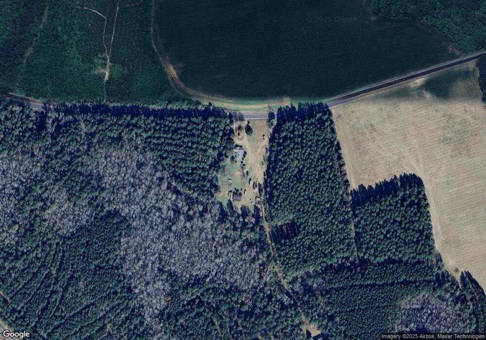
Map
Nearby Homes
- 0 Eddie Davis Rd
- 2566 William Brunson Rd
- 0 Tbd Scott Lake Dr
- 1112 Gin Pond Dr
- 0 Stonecrop Rd
- 1318 Taw Caw Dr
- 1090 Bridgeview Ln Unit 201
- 0 Gin Pond Dr Unit 170027
- Tbd Olin Rd
- 0 Jasper Ln Unit 25029474
- 1369 Gin Pond Dr
- 1204 Joyner Dr
- TBD Plat E1171-8
- 1193 Haynesworth Mill Cir
- 1193 Haynesworth Mill Cir Unit 10
- Tbd Tom Charles Rd
- 2532 M G Hemingway Rd
- Lot 1 Benbow Dr Unit 1
- 1282 Tennis Ln
- 1143 Tennis Ln
- 00 William Bronson Rd
- 5527 Bill Davis Rd
- 5528 Bill Davis Rd
- 4600 Bill Davis Rd
- 1085 Penn Brook Dr
- 5722 Bill Davis Rd
- 4473 Bill Davis Rd
- 1886 William Brunson Rd
- 4511 Bill Davis Rd
- 2232 Bill Davis Rd
- 0 Bill Davis Rd Unit 98012
- 0 Bill Davis Rd Unit 92961
- 0 Bill Davis Rd Unit 2929131
- 1967 William Brunson Rd
- 1998 William Brunson Rd
- 5850 Bill Davis Rd
- 5912 Bill Davis Rd
- 5555 Wash Davis Rd
- Tbd Bill Davis Rd Rd
- 1582 J R and F A Richburg Rd
Your Personal Tour Guide
Ask me questions while you tour the home.