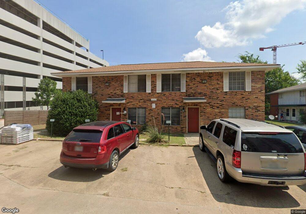
512 1st St Unit AD College Station, TX 77840
Northgate District NeighborhoodEstimated Value: $472,000 - $761,000
--
Bed
4
Baths
2,860
Sq Ft
$206/Sq Ft
Est. Value
About This Home
This home is located at 512 1st St Unit AD, College Station, TX 77840 and is currently estimated at $589,667, approximately $206 per square foot. 512 1st St Unit AD is a home located in Brazos County with nearby schools including South Knoll Elementary School, Oakwood Intermediate School, and A&M Consolidated Middle School.
Ownership History
Date
Name
Owned For
Owner Type
Purchase Details
Closed on
Jun 10, 2010
Sold by
Dp Unlimited Inc
Bought by
Ta Investments #2 Ltd
Current Estimated Value
Home Financials for this Owner
Home Financials are based on the most recent Mortgage that was taken out on this home.
Original Mortgage
$372,500
Outstanding Balance
$250,262
Interest Rate
5.02%
Mortgage Type
Construction
Estimated Equity
$339,405
Create a Home Valuation Report for This Property
The Home Valuation Report is an in-depth analysis detailing your home's value as well as a comparison with similar homes in the area
Home Values in the Area
Average Home Value in this Area
Purchase History
| Date | Buyer | Sale Price | Title Company |
|---|---|---|---|
| Ta Investments #2 Ltd | -- | University Title Company |
Source: Public Records
Mortgage History
| Date | Status | Borrower | Loan Amount |
|---|---|---|---|
| Open | Ta Investments #2 Ltd | $372,500 |
Source: Public Records
Tax History Compared to Growth
Tax History
| Year | Tax Paid | Tax Assessment Tax Assessment Total Assessment is a certain percentage of the fair market value that is determined by local assessors to be the total taxable value of land and additions on the property. | Land | Improvement |
|---|---|---|---|---|
| 2025 | $3,789 | $301,712 | $284,050 | $17,662 |
| 2024 | $3,789 | $198,835 | $198,835 | -- |
| 2023 | $3,789 | $219,060 | $198,835 | $20,225 |
| 2022 | $4,847 | $227,312 | $170,430 | $56,882 |
| 2021 | $5,445 | $241,055 | $170,430 | $70,625 |
| 2020 | $5,238 | $230,635 | $170,430 | $60,205 |
| 2019 | $4,445 | $188,100 | $170,430 | $17,670 |
| 2018 | $4,433 | $186,220 | $170,430 | $15,790 |
| 2017 | $4,383 | $186,220 | $170,430 | $15,790 |
| 2016 | $3,780 | $160,600 | $120,720 | $39,880 |
| 2015 | $3,482 | $146,490 | $96,580 | $49,910 |
| 2014 | $3,482 | $150,230 | $96,580 | $53,650 |
Source: Public Records
Map
Nearby Homes
- 500 1st St
- 4108 Aspen St
- 4101 College Main St
- 4102 Aspen St
- 400 Nagle St Unit 203
- 4441 Old College Rd Unit 3101
- 4441 Old College Rd Unit 2205
- 4441 Old College Rd Unit 7202
- 3802 College Main St Unit 13
- 100 Fleetwood St
- 3703 S College Ave
- 3803 Ridgewood St
- 304 Dunn St
- 601 North Ave E
- 511 Old Jersey St
- 101 Fairview Ave
- 304 Cooner St
- 304 Cooner St Unit A
- 114 Lynn Dr
- 109 Sulphur Springs Rd
- 512 1st St Unit 4
- 512 First St Unit 4
- 512 1st St
- 202 Spruce St Unit AD
- 202 Spruce St Unit C
- 202 Spruce St
- 202 Spruce St Unit B
- 510 1st St
- 508 1st St
- 508 1st St
- 508 1st St Unit B
- 508 1st St Unit A
- 204 Spruce St Unit 14
- 508 First St Unit A
- 508 First St Unit B
- 511 1st St Unit AD
- 509 1st St Unit AB
- 205 Spruce St Unit AD
- 600 1st St
- 203 Spruce St Unit AD