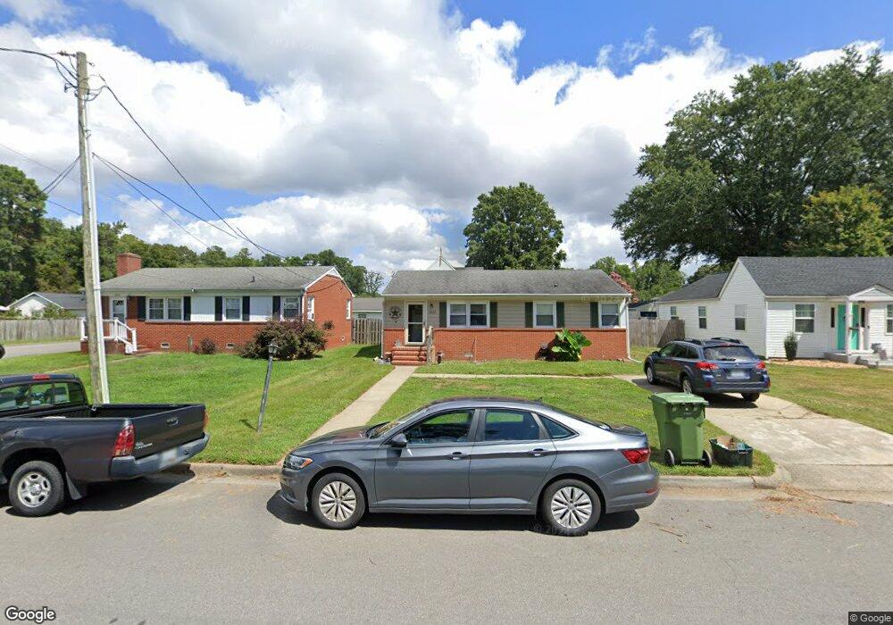
512 21st St West Point, VA 23181
Estimated Value: $262,000 - $316,000
3
Beds
2
Baths
1,587
Sq Ft
$189/Sq Ft
Est. Value
About This Home
This home is located at 512 21st St, West Point, VA 23181 and is currently estimated at $299,389, approximately $188 per square foot. 512 21st St is a home located in King William County with nearby schools including West Point Elementary School, West Point Middle School, and West Point High School.
Ownership History
Date
Name
Owned For
Owner Type
Purchase Details
Closed on
May 12, 2021
Sold by
Smith James E
Bought by
Smith James E and Smith Margaret E
Current Estimated Value
Purchase Details
Closed on
Oct 25, 2007
Sold by
Town Of West Point
Bought by
Smith James E
Home Financials for this Owner
Home Financials are based on the most recent Mortgage that was taken out on this home.
Original Mortgage
$204,000
Interest Rate
6.78%
Mortgage Type
VA
Purchase Details
Closed on
Aug 27, 2007
Sold by
Butler Technolocy Inc
Bought by
Smith James E
Home Financials for this Owner
Home Financials are based on the most recent Mortgage that was taken out on this home.
Original Mortgage
$204,000
Interest Rate
6.78%
Mortgage Type
VA
Purchase Details
Closed on
Jul 18, 2006
Sold by
Turner Edmond D
Bought by
Butler Technology Inc
Create a Home Valuation Report for This Property
The Home Valuation Report is an in-depth analysis detailing your home's value as well as a comparison with similar homes in the area
Home Values in the Area
Average Home Value in this Area
Purchase History
| Date | Buyer | Sale Price | Title Company |
|---|---|---|---|
| Smith James E | -- | None Available | |
| Smith Margaret E | -- | Schmidt Carl | |
| Smith James E | -- | -- | |
| Harwood George R | -- | -- | |
| Smith James E | $204,000 | -- | |
| Butler Technology Inc | $50,000 | -- |
Source: Public Records
Mortgage History
| Date | Status | Borrower | Loan Amount |
|---|---|---|---|
| Previous Owner | Butler Technology Inc | $204,000 |
Source: Public Records
Tax History Compared to Growth
Tax History
| Year | Tax Paid | Tax Assessment Tax Assessment Total Assessment is a certain percentage of the fair market value that is determined by local assessors to be the total taxable value of land and additions on the property. | Land | Improvement |
|---|---|---|---|---|
| 2025 | $49 | $256,800 | $30,000 | $226,800 |
| 2024 | $650 | $240,600 | $30,000 | $210,600 |
| 2023 | $650 | $240,600 | $30,000 | $210,600 |
| 2021 | $583 | $153,500 | $30,000 | $123,500 |
| 2020 | $0 | $202,800 | $35,000 | $167,800 |
| 2019 | $0 | $153,500 | $30,000 | $123,500 |
| 2018 | $0 | $153,500 | $30,000 | $123,500 |
| 2017 | $0 | $152,800 | $30,000 | $122,800 |
| 2016 | $0 | $152,800 | $30,000 | $122,800 |
| 2015 | -- | $152,800 | $30,000 | $122,800 |
| 2014 | -- | $0 | $0 | $0 |
Source: Public Records
Map
Nearby Homes
- 515 18th St
- 230 Glen St
- 0 14th and Kirby St
- Lot 23 Glen St
- 000 Glen St
- .21ac Glen St
- 00 Glen St
- 1213 Kirby St
- 605 Rivergate Terrace
- 332 Ogden St
- 322 Ogden St
- 342 Ogden St
- 314 Ogden St
- 2660 N Oak Ln
- 520 Main St
- 3050 King William Ave
- .21ac King William Ave
- Lot 24 King William Ave
- Lot 25 King William Ave
- 200 Lee St