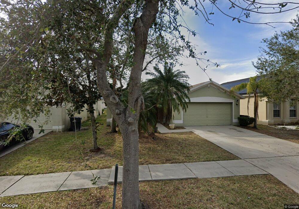
512 9th St NE Ruskin, FL 33570
Estimated Value: $285,000 - $340,000
3
Beds
2
Baths
1,745
Sq Ft
$175/Sq Ft
Est. Value
About This Home
This home is located at 512 9th St NE, Ruskin, FL 33570 and is currently estimated at $305,329, approximately $174 per square foot. 512 9th St NE is a home located in Hillsborough County with nearby schools including Thompson Elementary School, Shields Middle School, and Lennard High School.
Ownership History
Date
Name
Owned For
Owner Type
Purchase Details
Closed on
Oct 18, 2018
Sold by
Lancaster Morgan and Lancaster Kaylie
Bought by
Norbert Christina M
Current Estimated Value
Home Financials for this Owner
Home Financials are based on the most recent Mortgage that was taken out on this home.
Original Mortgage
$184,300
Outstanding Balance
$159,745
Interest Rate
4.6%
Mortgage Type
New Conventional
Estimated Equity
$145,584
Purchase Details
Closed on
Sep 4, 2007
Sold by
Suarez Housing Corp
Bought by
Lancaster Morgan and Batten Kaylie
Home Financials for this Owner
Home Financials are based on the most recent Mortgage that was taken out on this home.
Original Mortgage
$190,350
Interest Rate
6.62%
Mortgage Type
Unknown
Create a Home Valuation Report for This Property
The Home Valuation Report is an in-depth analysis detailing your home's value as well as a comparison with similar homes in the area
Home Values in the Area
Average Home Value in this Area
Purchase History
| Date | Buyer | Sale Price | Title Company |
|---|---|---|---|
| Norbert Christina M | $190,000 | South Bay Title Insurance Ag | |
| Lancaster Morgan | $190,400 | Florida Affiliated Title Ser |
Source: Public Records
Mortgage History
| Date | Status | Borrower | Loan Amount |
|---|---|---|---|
| Open | Norbert Christina M | $184,300 | |
| Previous Owner | Lancaster Morgan | $190,350 |
Source: Public Records
Tax History
| Year | Tax Paid | Tax Assessment Tax Assessment Total Assessment is a certain percentage of the fair market value that is determined by local assessors to be the total taxable value of land and additions on the property. | Land | Improvement |
|---|---|---|---|---|
| 2025 | $2,997 | $165,454 | -- | -- |
| 2024 | $2,997 | $160,791 | -- | -- |
| 2023 | $2,881 | $156,108 | $0 | $0 |
| 2022 | $2,719 | $151,561 | $0 | $0 |
| 2021 | $2,671 | $147,147 | $0 | $0 |
| 2020 | $2,587 | $145,115 | $36,465 | $108,650 |
| 2019 | $2,579 | $146,511 | $33,660 | $112,851 |
| 2018 | $3,233 | $140,609 | $0 | $0 |
| 2017 | $1,324 | $128,946 | $0 | $0 |
| 2016 | $1,290 | $77,063 | $0 | $0 |
| 2015 | $1,298 | $76,527 | $0 | $0 |
| 2014 | $1,274 | $75,920 | $0 | $0 |
| 2013 | -- | $74,798 | $0 | $0 |
Source: Public Records
Map
Nearby Homes
- 501 Delwood Breck St
- 762 Barclay Wood Dr
- 525 Glenn Cross Dr
- 508 Glenn Cross Dr
- 714 Barclay Wood Dr
- 928 Royal Empress Dr
- 736 Royal Empress Dr
- 726 Royal Empress Dr
- 633 Royal Empress Dr
- 819 Brenton Leaf Dr
- 808 1st Ave NE
- 706 Brenton Leaf Dr
- 413 Royal Empress Dr
- 421 Royal Empress Dr
- 1046 Brenton Leaf Dr
- 1108 Wynnmere Meadow Place
- 731 Cristelle Jean Dr
- 321 Blue Point Dr
- 309 Blue Point Dr
- 1042 Spotted Egret Loop
- 514 9th St NE
- 516 9th St NE
- 508 9th St NE
- 505 Delwood Breck St
- 503 Delwood Breck St
- 507 Delwood Breck St
- 506 9th St NE
- 518 9th St NE
- 511 9th St NE
- 513 9th St NE
- 509 9th St NE
- 415 Delwood Breck St
- 515 9th St NE
- 507 9th St NE
- 504 9th St NE
- 511 Delwood Breck St
- 517 9th St NE
- 505 9th St NE
- 413 Delwood Breck St
- 502 9th St NE
Your Personal Tour Guide
Ask me questions while you tour the home.