512 Captains Way Unit 1912 Philadelphia, PA 19146
Southwest Center City NeighborhoodEstimated Value: $815,000 - $930,000
3
Beds
2
Baths
2,071
Sq Ft
$414/Sq Ft
Est. Value
About This Home
This home is located at 512 Captains Way Unit 1912, Philadelphia, PA 19146 and is currently estimated at $856,724, approximately $413 per square foot. 512 Captains Way Unit 1912 is a home located in Philadelphia County with nearby schools including Chester A. Arthur School, Universal Institute Charter School, and Universal Audenried Charter High School.
Ownership History
Date
Name
Owned For
Owner Type
Purchase Details
Closed on
Apr 29, 2010
Sold by
Toll Naval Associates
Bought by
Kepner Edward S
Current Estimated Value
Home Financials for this Owner
Home Financials are based on the most recent Mortgage that was taken out on this home.
Original Mortgage
$417,000
Outstanding Balance
$279,225
Interest Rate
5.03%
Mortgage Type
New Conventional
Estimated Equity
$577,499
Create a Home Valuation Report for This Property
The Home Valuation Report is an in-depth analysis detailing your home's value as well as a comparison with similar homes in the area
Home Values in the Area
Average Home Value in this Area
Purchase History
| Date | Buyer | Sale Price | Title Company |
|---|---|---|---|
| Kepner Edward S | $557,096 | None Available |
Source: Public Records
Mortgage History
| Date | Status | Borrower | Loan Amount |
|---|---|---|---|
| Open | Kepner Edward S | $417,000 |
Source: Public Records
Tax History Compared to Growth
Tax History
| Year | Tax Paid | Tax Assessment Tax Assessment Total Assessment is a certain percentage of the fair market value that is determined by local assessors to be the total taxable value of land and additions on the property. | Land | Improvement |
|---|---|---|---|---|
| 2025 | $9,635 | $702,000 | $105,200 | $596,800 |
| 2024 | $9,635 | $702,000 | $105,200 | $596,800 |
| 2023 | $9,635 | $688,300 | $103,200 | $585,100 |
| 2022 | $9,176 | $643,300 | $103,200 | $540,100 |
| 2021 | $9,176 | $0 | $0 | $0 |
| 2020 | $6,576 | $0 | $0 | $0 |
| 2019 | $1,376 | $0 | $0 | $0 |
| 2018 | $1,173 | $0 | $0 | $0 |
| 2017 | $1,173 | $0 | $0 | $0 |
| 2016 | $711 | $0 | $0 | $0 |
| 2015 | $681 | $0 | $0 | $0 |
| 2014 | -- | $507,900 | $50,790 | $457,110 |
| 2012 | -- | $88,128 | $6,144 | $81,984 |
Source: Public Records
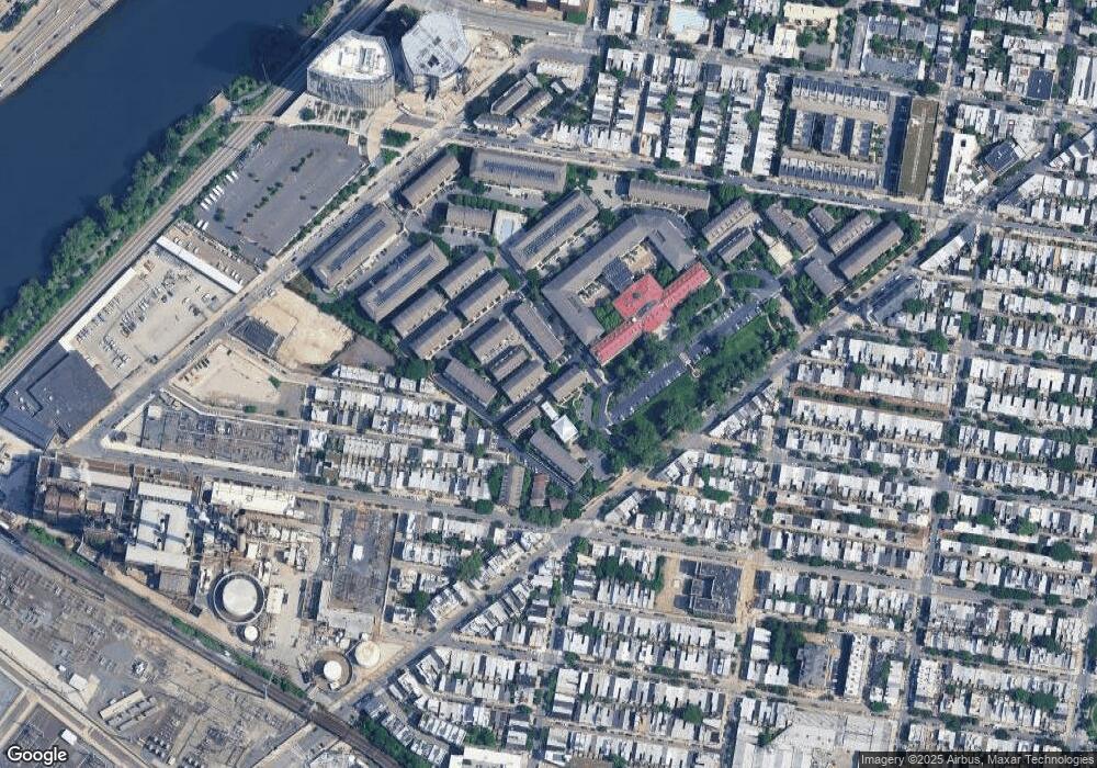
Map
Nearby Homes
- 500 Admirals Way Unit 110
- 301 Captains Way Unit 502
- 606 Admirals Way Unit 807
- 105 Commodore Ct Unit 2105
- 112 Commodore Ct Unit 2112
- 201 Commodore Ct
- 303 Surgeon Generals Ct Unit 304
- 2615 Catharine St
- 2610 Catharine St
- 600 Commodore Ct Unit 2631
- 406 Regatta Dr
- 2642 Catharine St
- 2435 Christian St
- 2423 Madison Square
- 2509 Grays Ferry Ave Unit 1
- 2413 Grays Ferry Ave
- 626 S Lecount St
- 2406 Catharine St
- 4 Governors Ct
- 2447 Montrose St
- 502 Captains Way Unit 1902
- 504 Captains Way Unit 1904
- 510 Captains Way Unit 1910
- 508 Captains Way Unit 1908
- 506 Captains Way Unit 1906
- 511 Captains Way Unit 1911
- 509 Captains Way Unit 1909
- 507 Captains Way Unit 1907
- 505 Captains Way Unit 1905
- 503 Captains Way Unit 1903
- 501 Captains Way Unit 1901
- 701 Captains Way
- 601 Admirals Way Unit 802
- 500 Admirals Way Unit 1803
- 500 Admirals Way Unit 416
- 500 Admirals Way Unit 4XX
- 500 Admirals Way Unit 416-17
- 500 Admirals Way Unit 316
- 500 Admirals Way Unit 407
- 500 Admirals Way Unit 203