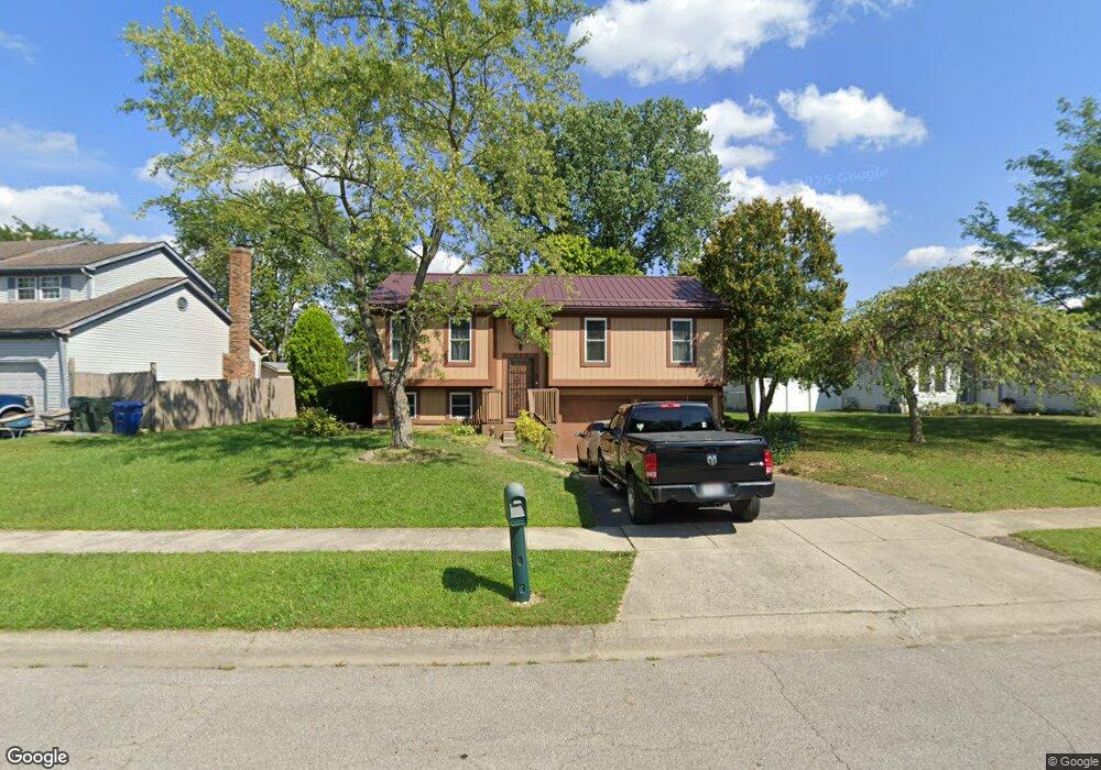
512 Corral Gate Ct Galloway, OH 43119
Westchester-Green Countrie NeighborhoodEstimated Value: $286,000 - $327,000
About This Home
This home is located at 512 Corral Gate Ct, Galloway, OH 43119 and is currently estimated at $300,512, approximately $271 per square foot. 512 Corral Gate Ct is a home located in Franklin County with nearby schools including Darby Woods Elementary School, Galloway Ridge Intermediate School, and Pleasant View Middle School.
Ownership History
We collect this data history from publicly available records. To have your information removed, we recommend requesting removal directly through your county’s website.
Purchase Details
Home Financials for this Owner
Home Financials are based on the most recent Mortgage that was taken out on this home.Purchase Details
Purchase Details
Home Values in the Area
Average Home Value in this Area
Purchase History
We collect this data history from publicly available records. To have your information removed, we recommend requesting removal directly through your county’s website.
| Date | Buyer | Sale Price | Title Company |
|---|---|---|---|
| $91,000 | -- | ||
| $67,000 | -- | ||
| -- | -- |
Mortgage History
We collect this data history from publicly available records. To have your information removed, we recommend requesting removal directly through your county’s website.
| Date | Status | Borrower | Loan Amount |
|---|---|---|---|
| Previous Owner | $86,000 |
Tax History
We collect this data history from publicly available records. To have your information removed, we recommend requesting removal directly through your county’s website.
| Year | Tax Paid | Tax Assessment Tax Assessment Total Assessment is a certain percentage of the fair market value that is determined by local assessors to be the total taxable value of land and additions on the property. | Land | Improvement |
|---|---|---|---|---|
| 2025 | $3,132 | $84,950 | $32,590 | $52,360 |
| 2024 | $3,132 | $84,950 | $32,590 | $52,360 |
| 2023 | $3,043 | $84,950 | $32,590 | $52,360 |
| 2022 | $2,281 | $46,730 | $10,470 | $36,260 |
| 2021 | $2,326 | $46,730 | $10,470 | $36,260 |
| 2020 | $2,313 | $46,730 | $10,470 | $36,260 |
| 2019 | $2,209 | $39,380 | $8,720 | $30,660 |
| 2018 | $2,115 | $39,380 | $8,720 | $30,660 |
| 2017 | $2,110 | $39,380 | $8,720 | $30,660 |
| 2016 | $2,031 | $33,570 | $8,650 | $24,920 |
| 2015 | $2,031 | $33,570 | $8,650 | $24,920 |
| 2014 | $2,033 | $33,570 | $8,650 | $24,920 |
| 2013 | $1,061 | $35,315 | $9,100 | $26,215 |
Map
- 5683 Morningstar Dr
- 5697 Silver Spurs Ln
- 494 Pamlico St Unit T-6
- 556 Pamlico St
- 575 Dlyn St
- 6148 Early Light Dr Unit 40
- 596 Pamlico St Unit X4
- 5584 Brackenridge Ave Unit R7
- 596 Dlyn St Unit H-5
- 664 Penn St Unit 73
- 560 Star Spangled Place Unit 101
- 695 Perilous Place Unit 1
- 5978 Carrbridge Ct
- 844 Windy Hill Ln
- 623 Rockets St Unit 145
- 5933 Kilbeggan St
- 5261 Deignese Place Unit 17-A
- 5480 Avonhurst Ct
- 602 Brave Dr Unit 260
- 889 Lancia Ln
- 524 Corral Gate Ct
- 500 Corral Gate Ct
- 548 Corral Gate Ct
- 486 Branding Iron Dr
- 536 Corral Gate Ct
- 509 Corral Gate Ct
- 527 Corral Gate Ct
- 478 Branding Iron Dr
- 560 Corral Gate Ct
- 515 Corral Gate Ct
- 521 Corral Gate Ct
- 533 Corral Gate Ct
- 485 Round up Dr
- 475 Round up Dr
- 470 Branding Iron Dr
- 539 Corral Gate Ct
- 539 Corral Gate Ct Unit C
- 569 Corral Gate Ct
- 557 Corral Gate Ct
- 467 Branding Iron Dr
Ask me questions while you tour the home.