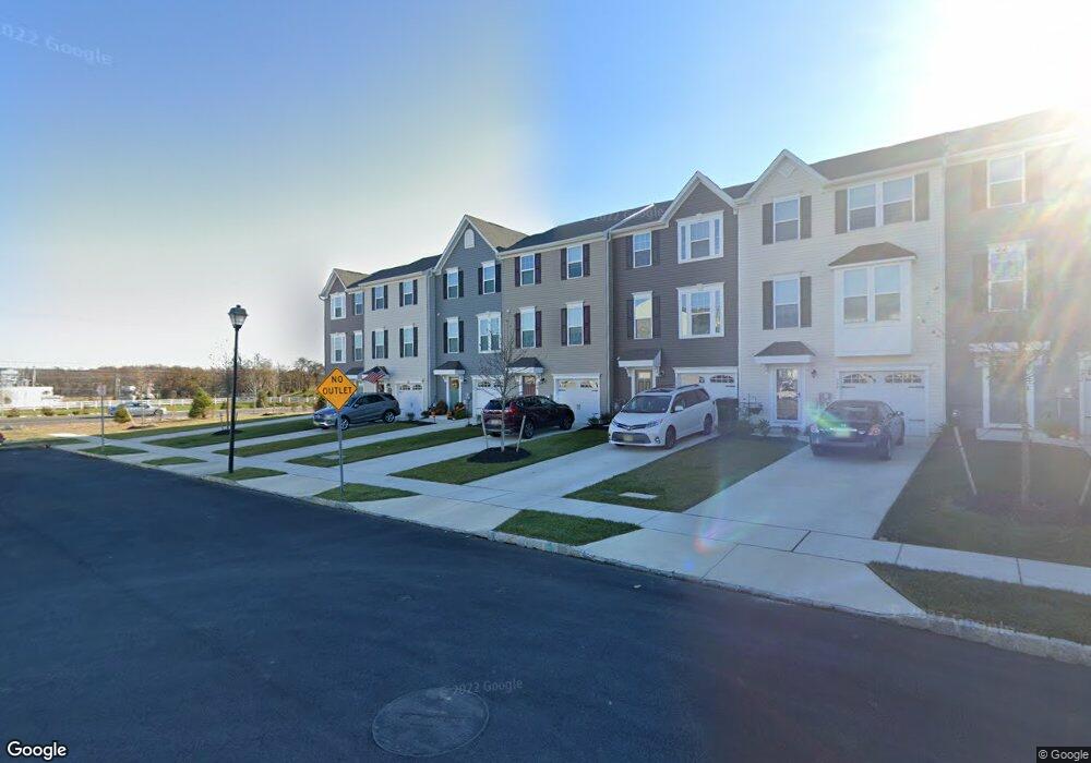
512 Dalton Dr Swedesboro, NJ 08085
Woolwich Township NeighborhoodEstimated Value: $416,769 - $445,000
--
Bed
--
Bath
2,320
Sq Ft
$185/Sq Ft
Est. Value
About This Home
This home is located at 512 Dalton Dr, Swedesboro, NJ 08085 and is currently estimated at $428,442, approximately $184 per square foot. 512 Dalton Dr is a home with nearby schools including Margaret C Clifford School, Gov. Charles C. Stratton School, and Gen. Charles G. Harker School.
Ownership History
Date
Name
Owned For
Owner Type
Purchase Details
Closed on
Nov 20, 2020
Sold by
Nvr Inc
Bought by
Rotan Tracey L
Current Estimated Value
Home Financials for this Owner
Home Financials are based on the most recent Mortgage that was taken out on this home.
Original Mortgage
$237,005
Outstanding Balance
$210,901
Interest Rate
2.8%
Mortgage Type
New Conventional
Estimated Equity
$217,541
Purchase Details
Closed on
Jul 7, 2020
Sold by
Weatherby Townhomes Llc
Bought by
Nvr Inc
Create a Home Valuation Report for This Property
The Home Valuation Report is an in-depth analysis detailing your home's value as well as a comparison with similar homes in the area
Home Values in the Area
Average Home Value in this Area
Purchase History
| Date | Buyer | Sale Price | Title Company |
|---|---|---|---|
| Rotan Tracey L | $278,830 | Legacy Title Agency Llc | |
| Rotan Tracey L | $278,830 | Legacy Title | |
| Nvr Inc | $499,000 | None Available |
Source: Public Records
Mortgage History
| Date | Status | Borrower | Loan Amount |
|---|---|---|---|
| Open | Rotan Tracey L | $237,005 | |
| Closed | Rotan Tracey L | $237,005 |
Source: Public Records
Tax History Compared to Growth
Tax History
| Year | Tax Paid | Tax Assessment Tax Assessment Total Assessment is a certain percentage of the fair market value that is determined by local assessors to be the total taxable value of land and additions on the property. | Land | Improvement |
|---|---|---|---|---|
| 2025 | $9,231 | $274,900 | $67,700 | $207,200 |
| 2024 | $9,069 | $274,900 | $67,700 | $207,200 |
| 2023 | $9,069 | $274,900 | $67,700 | $207,200 |
| 2022 | $9,256 | $274,900 | $67,700 | $207,200 |
| 2021 | $8,978 | $54,100 | $54,100 | $0 |
| 2020 | $1,856 | $54,100 | $54,100 | $0 |
Source: Public Records
Map
Nearby Homes
- 613 Sammy St
- 607 Sammy St
- 501 Sammy St
- 213 Dalton Dr
- 105 Sammy St
- 95 Weston Dr
- 19 Cottonwood Rd
- 21 Forrest Ct
- 2501 Lexington Mews
- 2101 Lexington Mews
- 220 Wilshire Blvd
- 1801 Lexington Mews
- 1406 Lexington Mews
- Hudson Plan at Weatherby Meadows
- Columbia Plan at Weatherby Meadows
- Ballenger Plan at Weatherby Meadows
- Allegheny Plan at Weatherby Meadows
- 41 Buckeye Rd
- 1030 Auburn Rd
- 4 Hylton Rd