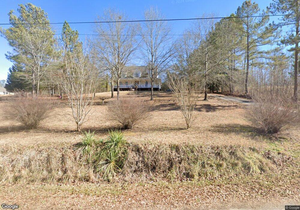
512 Dean Rd Aragon, GA 30104
Estimated Value: $334,000 - $402,844
2
Beds
2
Baths
2,601
Sq Ft
$142/Sq Ft
Est. Value
About This Home
This home is located at 512 Dean Rd, Aragon, GA 30104 and is currently estimated at $368,615, approximately $141 per square foot. 512 Dean Rd is a home located in Polk County with nearby schools including Rockmart Middle School.
Ownership History
Date
Name
Owned For
Owner Type
Purchase Details
Closed on
Sep 10, 1987
Sold by
Little W Gerald
Bought by
Clayton Danny L
Current Estimated Value
Purchase Details
Closed on
Aug 15, 1984
Sold by
Mull Jimmy E
Bought by
Little W Gerald
Purchase Details
Closed on
Apr 5, 1978
Sold by
Morgan Jackson D
Bought by
Mull Jimmy E
Purchase Details
Closed on
Apr 5, 1975
Bought by
Morris Jimmy L
Create a Home Valuation Report for This Property
The Home Valuation Report is an in-depth analysis detailing your home's value as well as a comparison with similar homes in the area
Home Values in the Area
Average Home Value in this Area
Purchase History
| Date | Buyer | Sale Price | Title Company |
|---|---|---|---|
| Clayton Danny L | $5,500 | -- | |
| Little W Gerald | -- | -- | |
| Mull Jimmy E | -- | -- | |
| Morgan Jackson D | -- | -- | |
| Morris Jimmy L | -- | -- |
Source: Public Records
Tax History Compared to Growth
Tax History
| Year | Tax Paid | Tax Assessment Tax Assessment Total Assessment is a certain percentage of the fair market value that is determined by local assessors to be the total taxable value of land and additions on the property. | Land | Improvement |
|---|---|---|---|---|
| 2024 | $3,203 | $155,254 | $17,851 | $137,403 |
| 2023 | $2,409 | $103,510 | $17,851 | $85,659 |
| 2022 | $1,960 | $84,591 | $11,901 | $72,690 |
| 2021 | $1,985 | $84,591 | $11,901 | $72,690 |
| 2020 | $1,990 | $84,591 | $11,901 | $72,690 |
| 2019 | $1,629 | $62,673 | $11,901 | $50,772 |
| 2018 | $1,631 | $61,207 | $11,901 | $49,306 |
| 2017 | $1,611 | $61,207 | $11,901 | $49,306 |
| 2016 | $1,437 | $54,823 | $8,863 | $45,960 |
| 2015 | $1,482 | $56,289 | $8,863 | $47,426 |
| 2014 | $1,493 | $56,289 | $8,863 | $47,426 |
Source: Public Records
Map
Nearby Homes
- 0 Hwy 101 and Dean Rd Unit 10620814
- 6792 Rockmart Rd SE
- 4526 Rome Hwy
- 1424 Harmony Rd SE
- 838 Pleasant Hope Rd SE
- 231 Gordon Rd
- 0 Stewart Rd
- 463 Compton Rd SE
- 150 Pleasant Hope Rd SE
- 1111 Old Collard Valley Rd
- 1104 Burkhalter Rd SE
- 565 Raiford Rd
- 110 Williams Rd SE
- 1062 Bethel Church Rd SE
- 34 Hudson Loop Rd
- 2557 Wax Rd SE
- 496 Dean Rd
- 2157 Harmony Rd SE
- 594 Dean Rd
- 1875 Harmony Rd SE
- 614 Dean Rd
- 420 Dean Rd
- 396 Dean Rd
- 469 Dean Rd
- 535 Dean Rd
- 489 Dean Rd
- 395 Dean Rd
- 638 Dean Rd
- 334 Dean Rd
- 394 Dean Rd
- 321 Dean Rd
- 0 Harmony Rd SE Unit 15695243
- 0 Harmony Rd SE
- 0 Harmony Rd SE Unit 10275101
- 0 Harmony Rd SE Unit 10253596
- 0 Harmony Rd SE Unit 7336816