512 E Avery Station Rd Tunkhannock, PA 18657
Estimated Value: $254,689 - $321,000
--
Bed
--
Bath
--
Sq Ft
1.27
Acres
About This Home
This home is located at 512 E Avery Station Rd, Tunkhannock, PA 18657 and is currently estimated at $282,172. 512 E Avery Station Rd is a home located in Wyoming County with nearby schools including Tunkhannock Middle School and Tunkhannock High School.
Ownership History
Date
Name
Owned For
Owner Type
Purchase Details
Closed on
Aug 20, 2019
Bought by
Kobylski John A and Jkobylski Richard
Current Estimated Value
Purchase Details
Closed on
Apr 28, 2016
Sold by
Endless Mountain Water Company Limited and Wilson June
Bought by
Garrison North Unit
Purchase Details
Closed on
Nov 22, 2005
Sold by
Begin Steven
Bought by
Decker Elaine and Goodwin Kathryn
Home Financials for this Owner
Home Financials are based on the most recent Mortgage that was taken out on this home.
Original Mortgage
$10,000
Interest Rate
6.39%
Mortgage Type
Purchase Money Mortgage
Create a Home Valuation Report for This Property
The Home Valuation Report is an in-depth analysis detailing your home's value as well as a comparison with similar homes in the area
Home Values in the Area
Average Home Value in this Area
Purchase History
| Date | Buyer | Sale Price | Title Company |
|---|---|---|---|
| Kobylski John A | $158,000 | -- | |
| Garrison North Unit | -- | None Available | |
| Decker Elaine | -- | None Available |
Source: Public Records
Mortgage History
| Date | Status | Borrower | Loan Amount |
|---|---|---|---|
| Previous Owner | Decker Elaine | $10,000 |
Source: Public Records
Tax History Compared to Growth
Tax History
| Year | Tax Paid | Tax Assessment Tax Assessment Total Assessment is a certain percentage of the fair market value that is determined by local assessors to be the total taxable value of land and additions on the property. | Land | Improvement |
|---|---|---|---|---|
| 2025 | $4,327 | $36,970 | $2,225 | $34,745 |
| 2024 | $4,253 | $36,970 | $2,225 | $34,745 |
| 2023 | $4,179 | $36,970 | $2,225 | $34,745 |
| 2022 | $4,124 | $36,970 | $2,225 | $34,745 |
| 2021 | $4,032 | $36,970 | $2,225 | $34,745 |
| 2020 | $4,032 | $36,970 | $2,225 | $34,745 |
| 2019 | $3,958 | $36,970 | $2,225 | $34,745 |
| 2018 | $3,865 | $36,970 | $2,225 | $34,745 |
| 2017 | $3,563 | $0 | $0 | $0 |
| 2016 | -- | $0 | $0 | $0 |
| 2015 | -- | $0 | $0 | $0 |
| 2014 | -- | $0 | $0 | $0 |
Source: Public Records
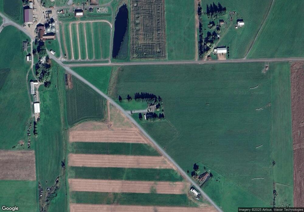
Map
Nearby Homes
- 828 W Avery Station Rd
- 1 Pennsylvania 29
- 0 Sr 29n Unit GSBSC256186
- 32 Shore Dr
- 22 Mount Airy Estate
- 5 Fieldcrest Dr
- 7 Hollow Crest Rd
- 0 Dark Hollow Rd Unit GSBSC255658
- 5115 State Route 3013
- 11694 State Route 3004
- 7 Doran Dr
- 29 Ferncrest Dr
- 9 Doran Dr
- 1 Ford Dr
- 6193 Pennsylvania 87
- 40 Winola Ave
- 1 Sullivan St
- 13 Reed St
- 43 1/2 Mccord St
- 5 E Harrison St
- 512 E Avery Station Rd
- 530 E Avery Station Rd
- 530 E Avery Station Rd
- 403 E Avery Station Rd
- 403 E Avery Station Rd
- 403 E Avery Station Rd
- 548 E Avery Station Rd
- 564 E Avery Station Rd Unit R
- 321 Aldovin Rd
- 576 E Avery Station Rd
- 321 W Avery Station Rd Unit R
- 579 E Avery Station Rd
- 1005 Sr 1001
- 306 W Avery Station Rd Unit R
- 306 W Avery Station Rd Unit R
- 599 E Avery Station Rd
- 599 E Avery Station Rd
- 961 Sr 1001
- 47 Browns Rd
- 49 Tague Rd