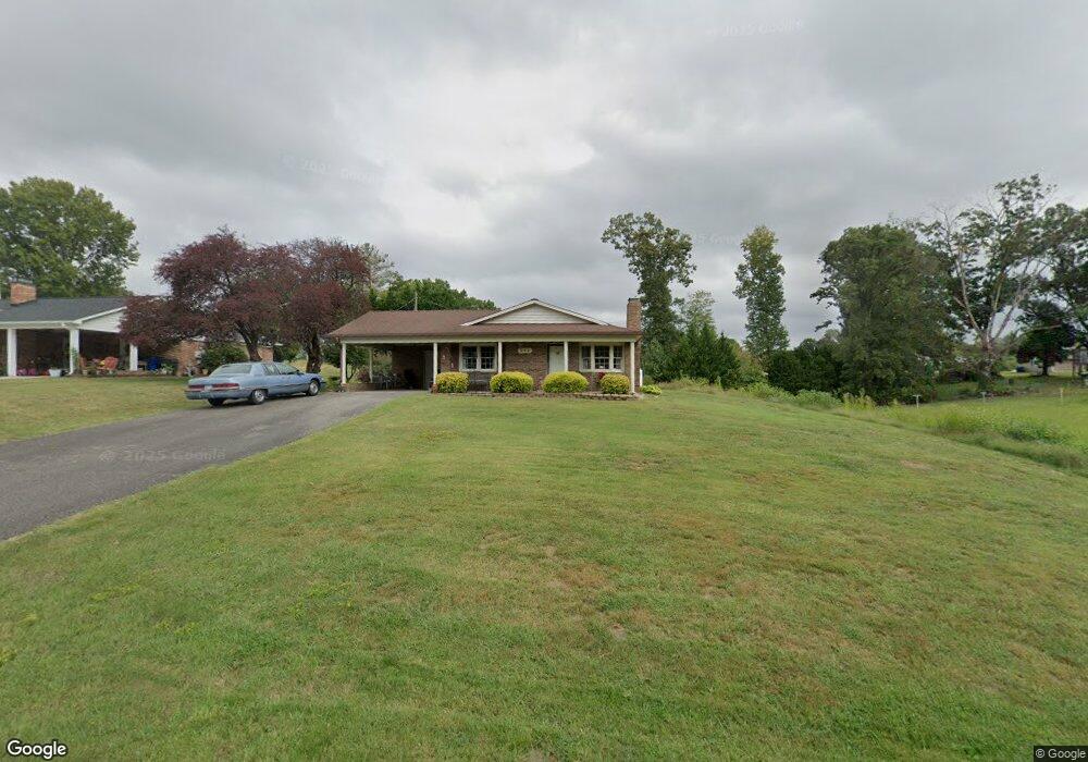
512 E Devon Dr Mount Airy, NC 27030
Estimated Value: $231,837 - $253,000
3
Beds
2
Baths
1,450
Sq Ft
$164/Sq Ft
Est. Value
About This Home
This home is located at 512 E Devon Dr, Mount Airy, NC 27030 and is currently estimated at $237,709, approximately $163 per square foot. 512 E Devon Dr is a home located in Surry County with nearby schools including Bruce H. Tharrington Elementary School, Mount Airy Middle School, and Mount Airy High School.
Ownership History
Date
Name
Owned For
Owner Type
Purchase Details
Closed on
Feb 27, 2007
Sold by
Eich Ernest Paul and Eich Ellen L
Bought by
Haymore Elizabeth Arcasia
Current Estimated Value
Purchase Details
Closed on
Feb 21, 2006
Sold by
Buckingham William Lee and Buckingham Charlotte Anne
Bought by
Eich Earnest Paul and Eich Ellen L
Purchase Details
Closed on
Jul 25, 2005
Sold by
Gray Walter E
Bought by
Buckingham William Lee and Buckingham Charlotte Anne
Purchase Details
Closed on
Nov 1, 1984
Purchase Details
Closed on
Aug 1, 1978
Create a Home Valuation Report for This Property
The Home Valuation Report is an in-depth analysis detailing your home's value as well as a comparison with similar homes in the area
Purchase History
| Date | Buyer | Sale Price | Title Company |
|---|---|---|---|
| Haymore Elizabeth Arcasia | $138,000 | None Available | |
| Eich Earnest Paul | $130,000 | None Available | |
| Buckingham William Lee | $130,000 | None Available | |
| -- | $45,000 | -- | |
| -- | $31,500 | -- |
Source: Public Records
Tax History
| Year | Tax Paid | Tax Assessment Tax Assessment Total Assessment is a certain percentage of the fair market value that is determined by local assessors to be the total taxable value of land and additions on the property. | Land | Improvement |
|---|---|---|---|---|
| 2025 | $573 | $165,440 | $16,200 | $149,240 |
| 2024 | $506 | $135,410 | $12,600 | $122,810 |
| 2023 | $498 | $135,410 | $12,600 | $122,810 |
| 2022 | $498 | $135,410 | $12,600 | $122,810 |
| 2021 | $506 | $135,410 | $12,600 | $122,810 |
| 2020 | $480 | $124,090 | $12,600 | $111,490 |
| 2019 | $477 | $124,090 | $0 | $0 |
| 2018 | $470 | $124,090 | $0 | $0 |
| 2017 | $474 | $124,090 | $0 | $0 |
| 2016 | $468 | $124,090 | $0 | $0 |
| 2013 | -- | $124,470 | $0 | $0 |
Source: Public Records
Map
Nearby Homes
- 200 Arlington St
- 00 S Andy Griffith Pkwy
- 01 Farmbrook Rd
- 000000 Farmbrook Rd
- 00000 Farmbrook Rd
- 02 Farmbrook Rd
- 00 Farmbrook Rd
- Tbd Farmbrook Rd
- 1513 Pittman St
- 1919 Westfield Rd
- 210 Meadow Stone Ln
- 1023 Spring St
- 0 Fairview Dr
- 226 Hamburg St
- 268 Smith Ln
- 402 S Renfro St Unit 4
- 2183 Westfield Rd
- 302 Spring St
- 711 S South St
- 636 Hamburg St
- 514 E Devon Dr
- 509 E Devon Dr
- 1616 E Fairfield Dr
- 516 E Devon Dr
- 412 E Devon Dr
- 1620 E Fairfield Dr
- 1612 E Fairfield Dr
- 513 E Devon Dr
- 408 E Devon Dr
- 520 E Devon Dr
- 1608 E Fairfield Dr
- 1624 E Fairfield Dr
- 519 E Devon Dr
- 524 E Devon Dr
- 409 E Devon Dr
- 1615 E Fairfield Dr
- 1619 E Fairfield Dr
- 1611 E Fairfield Dr
- 525 E Devon Dr
- 405 E Devon Dr
Your Personal Tour Guide
Ask me questions while you tour the home.