Estimated Value: $190,000 - $238,000
Studio
--
Bath
1,384
Sq Ft
$155/Sq Ft
Est. Value
About This Home
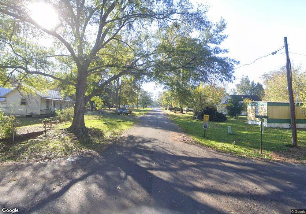
This home is located at 512 First Ave, Many, LA 71449 and is currently estimated at $214,000, approximately $154 per square foot. 512 First Ave is a home.
Create a Home Valuation Report for This Property
The Home Valuation Report is an in-depth analysis detailing your home's value as well as a comparison with similar homes in the area
Tax History
| Year | Tax Paid | Tax Assessment Tax Assessment Total Assessment is a certain percentage of the fair market value that is determined by local assessors to be the total taxable value of land and additions on the property. | Land | Improvement |
|---|---|---|---|---|
| 2024 | $254 | $3,036 | $287 | $2,749 |
| 2023 | $167 | $2,027 | $287 | $1,740 |
| 2022 | $183 | $2,027 | $287 | $1,740 |
| 2021 | $196 | $2,027 | $287 | $1,740 |
| 2020 | $212 | $2,027 | $287 | $1,740 |
| 2019 | $206 | $2,027 | $287 | $1,740 |
| 2018 | $175 | $1,630 | $340 | $1,290 |
| 2017 | $174 | $1,630 | $340 | $1,290 |
| 2016 | $173 | $1,630 | $340 | $1,290 |
| 2015 | $158 | $1,630 | $340 | $1,290 |
| 2014 | $170 | $1,630 | $340 | $1,290 |
Source: Public Records
Map
Nearby Homes
- 1244 Shady Hill Rd
- 920 Louisiana 118
- 000 Oak Hill Rd
- 0 Lee Jordan Rd Unit 11108388
- 485 Jarvis Dr
- 49 Mo Po Ln
- 89 Killin Time Dr Unit 7
- 353 Killin Time Dr Unit 21
- 9 Killin Time Dr Unit 1
- 337 Killin Time Dr Unit 20
- 322 Killin Time Dr Unit 34
- 167 Killin Time Dr Unit 11
- 034 Wilderness Trail
- 272 Killin Time Dr Unit 36
- 141 Killin Time Dr Unit 10
- 291 Killin Time Dr Unit 18
- 283 Killin Time Dr Unit 17
- 315 Killin Time Dr Unit 19
- 158 Mo Po Ln Unit 18
- 365 Killin Time Dr Unit 22
Your Personal Tour Guide
Ask me questions while you tour the home.