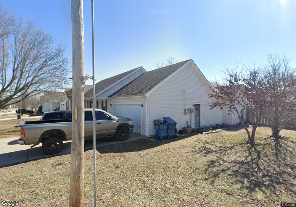
512 Gault St Carl Junction, MO 64834
Estimated Value: $234,197 - $263,000
Studio
2
Baths
1,673
Sq Ft
$147/Sq Ft
Est. Value
About This Home
This home is located at 512 Gault St, Carl Junction, MO 64834 and is currently estimated at $246,299, approximately $147 per square foot. 512 Gault St is a home located in Jasper County with nearby schools including Carl Junction Primary School (K-1), Carl Junction Intermediate School, and Carl Junction Primary School (2-3).
Ownership History
Date
Name
Owned For
Owner Type
Purchase Details
Closed on
Nov 22, 2019
Sold by
Brownlee R Scott R and Brownlee Jana D
Bought by
Haner Cody J and Haner Karissa L
Current Estimated Value
Home Financials for this Owner
Home Financials are based on the most recent Mortgage that was taken out on this home.
Original Mortgage
$150,000
Outstanding Balance
$131,039
Interest Rate
3.75%
Mortgage Type
New Conventional
Estimated Equity
$115,260
Create a Home Valuation Report for This Property
The Home Valuation Report is an in-depth analysis detailing your home's value as well as a comparison with similar homes in the area
Purchase History
| Date | Buyer | Sale Price | Title Company |
|---|---|---|---|
| Haner Cody J | -- | None Available |
Source: Public Records
Mortgage History
| Date | Status | Borrower | Loan Amount |
|---|---|---|---|
| Open | Haner Cody J | $150,000 |
Source: Public Records
Tax History
| Year | Tax Paid | Tax Assessment Tax Assessment Total Assessment is a certain percentage of the fair market value that is determined by local assessors to be the total taxable value of land and additions on the property. | Land | Improvement |
|---|---|---|---|---|
| 2025 | $1,356 | $25,200 | $2,240 | $22,960 |
| 2024 | $1,365 | $23,180 | $2,240 | $20,940 |
| 2023 | $1,365 | $23,180 | $2,240 | $20,940 |
| 2022 | $1,378 | $23,350 | $2,240 | $21,110 |
| 2021 | $1,183 | $23,350 | $2,240 | $21,110 |
| 2020 | $1,057 | $20,520 | $2,240 | $18,280 |
| 2019 | $1,004 | $20,520 | $2,240 | $18,280 |
| 2018 | $1,061 | $21,740 | $0 | $0 |
| 2017 | $1,064 | $21,740 | $0 | $0 |
| 2016 | $1,109 | $22,880 | $0 | $0 |
| 2015 | $1,086 | $22,880 | $0 | $0 |
| 2014 | $1,086 | $22,880 | $0 | $0 |
Source: Public Records
Map
Nearby Homes
- 509 W Gault St
- 501 W Walton Ave
- 409 W Walton Ave
- 410 Walton St
- 406 W Walton Ave
- 501 S Cowgill St
- 503 S Main St
- 817 Delaney Dr
- Tract 3 Prairie Ln
- Tract 2 Prairie Ln
- Tract 1 Prairie Ln
- Tract 4 Prairie Ln
- 711 Prairie Ln
- 809 Aberdeen Ave
- 901 Aberdeen Ave
- 505 N Broadway Ave
- 608 Valley View St
- 604 Pennell St
- TBD Temple St
- 720 Sheridan Ave
Your Personal Tour Guide
Ask me questions while you tour the home.