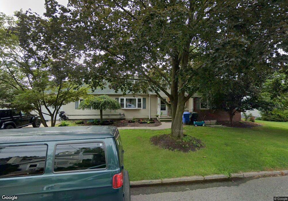
512 Gorham Ave Woodbridge, NJ 07095
Estimated Value: $580,000 - $852,000
4
Beds
3
Baths
2,041
Sq Ft
$326/Sq Ft
Est. Value
About This Home
This home is located at 512 Gorham Ave, Woodbridge, NJ 07095 and is currently estimated at $664,770, approximately $325 per square foot. 512 Gorham Ave is a home located in Middlesex County with nearby schools including Mawbey Street School, Woodbridge Middle School, and Woodbridge High School.
Ownership History
Date
Name
Owned For
Owner Type
Purchase Details
Closed on
May 2, 2011
Sold by
Brown Thomas S
Bought by
Gallo David M
Current Estimated Value
Home Financials for this Owner
Home Financials are based on the most recent Mortgage that was taken out on this home.
Original Mortgage
$389,860
Outstanding Balance
$270,185
Interest Rate
4.82%
Mortgage Type
FHA
Estimated Equity
$394,585
Purchase Details
Closed on
Mar 16, 2010
Sold by
Brown Thomas S and Brown Patricia A
Bought by
Brown Thomas S
Create a Home Valuation Report for This Property
The Home Valuation Report is an in-depth analysis detailing your home's value as well as a comparison with similar homes in the area
Home Values in the Area
Average Home Value in this Area
Purchase History
| Date | Buyer | Sale Price | Title Company |
|---|---|---|---|
| Gallo David M | $400,000 | None Available | |
| Brown Thomas S | -- | None Available |
Source: Public Records
Mortgage History
| Date | Status | Borrower | Loan Amount |
|---|---|---|---|
| Open | Gallo David M | $389,860 |
Source: Public Records
Tax History Compared to Growth
Tax History
| Year | Tax Paid | Tax Assessment Tax Assessment Total Assessment is a certain percentage of the fair market value that is determined by local assessors to be the total taxable value of land and additions on the property. | Land | Improvement |
|---|---|---|---|---|
| 2025 | $14,496 | $107,100 | $34,000 | $73,100 |
| 2024 | $14,137 | $107,100 | $34,000 | $73,100 |
| 2023 | $14,137 | $107,100 | $34,000 | $73,100 |
| 2022 | $13,276 | $107,100 | $34,000 | $73,100 |
| 2021 | $13,125 | $107,100 | $34,000 | $73,100 |
| 2020 | $12,706 | $107,100 | $34,000 | $73,100 |
| 2019 | $12,384 | $107,100 | $34,000 | $73,100 |
| 2018 | $12,058 | $107,100 | $34,000 | $73,100 |
| 2017 | $11,815 | $107,100 | $34,000 | $73,100 |
| 2016 | $11,703 | $107,100 | $34,000 | $73,100 |
| 2015 | $11,473 | $107,100 | $34,000 | $73,100 |
| 2014 | $10,813 | $107,100 | $34,000 | $73,100 |
Source: Public Records
Map
Nearby Homes
- 243 Campbell St
- 179 Decker Place
- 200 Mawbey St
- 218 Church St
- 638 S Lincoln Ave
- 525 Linden Ave
- 585 Noe Ave
- 14 Seymour Ave
- 47 Willry St
- 118 Willry St
- 101 Van Buren St
- 165 Overlook Ct Unit C
- 110 Church St
- 193 Sierra Ct
- 638 Linden Ave
- 65 Green St
- 62 Green St
- 101 Michaels Ct
- 267 Alpine Way Unit 267a
- 165 Grove St