512 Great Rd Littleton, MA 01460
Estimated Value: $984,000 - $1,286,000
5
Beds
3
Baths
3,209
Sq Ft
$357/Sq Ft
Est. Value
About This Home
This home is located at 512 Great Rd, Littleton, MA 01460 and is currently estimated at $1,145,951, approximately $357 per square foot. 512 Great Rd is a home located in Middlesex County with nearby schools including Shaker Lane Elementary School, Russell Street Elementary School, and Littleton Middle School.
Ownership History
Date
Name
Owned For
Owner Type
Purchase Details
Closed on
Aug 2, 2019
Sold by
Marion F Haupert 2014 T
Bought by
G Tripp Haupert Jr Ret
Current Estimated Value
Purchase Details
Closed on
Sep 17, 2018
Sold by
Haupert Garner T
Bought by
G Tripp Haupert Jr Ret
Purchase Details
Closed on
Nov 25, 2014
Sold by
Haupert Garner T
Bought by
Marion F Haupert T
Purchase Details
Closed on
Jul 15, 1981
Bought by
Haupert Garner and Haupert Garner T
Create a Home Valuation Report for This Property
The Home Valuation Report is an in-depth analysis detailing your home's value as well as a comparison with similar homes in the area
Home Values in the Area
Average Home Value in this Area
Purchase History
| Date | Buyer | Sale Price | Title Company |
|---|---|---|---|
| G Tripp Haupert Jr Ret | -- | -- | |
| G Tripp Haupert Jr Ret | -- | -- | |
| Marion F Haupert T | -- | -- | |
| Haupert Garner | -- | -- |
Source: Public Records
Tax History Compared to Growth
Tax History
| Year | Tax Paid | Tax Assessment Tax Assessment Total Assessment is a certain percentage of the fair market value that is determined by local assessors to be the total taxable value of land and additions on the property. | Land | Improvement |
|---|---|---|---|---|
| 2025 | $138 | $931,700 | $301,200 | $630,500 |
| 2024 | $13,700 | $923,200 | $289,900 | $633,300 |
| 2023 | $13,496 | $830,500 | $294,300 | $536,200 |
| 2022 | $12,914 | $729,200 | $294,300 | $434,900 |
| 2021 | $12,052 | $680,900 | $281,200 | $399,700 |
| 2020 | $11,734 | $660,300 | $266,000 | $394,300 |
| 2019 | $11,002 | $603,200 | $204,700 | $398,500 |
| 2018 | $10,975 | $605,000 | $209,000 | $396,000 |
| 2017 | $9,177 | $505,600 | $200,300 | $305,300 |
| 2016 | $8,877 | $501,800 | $200,300 | $301,500 |
| 2015 | $9,101 | $502,800 | $178,500 | $324,300 |
Source: Public Records
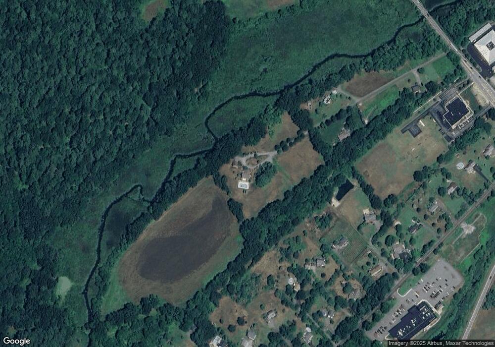
Map
Nearby Homes
- 17 Hartwell Ave
- 336 King St Unit 105
- 20 Murray Park Rd
- 11 (Lt 45) Darrell Dr
- 9 (Lt 44) Darrell Dr
- 4 Casie Ln
- 115 Goldsmith St
- 38 George St
- 36 Whitetail Way
- 54 Orchid Dr
- 1 Thistle Ln
- 18 Pleasant St
- 18 Mill Ln
- 150 Goldsmith St
- 20 Dean Ln Unit 20
- 25 Laurel Rd
- 179 Harwood Ave
- 181 Foster St
- 8 Sandy Beach Rd
- 0 Ayer Rd