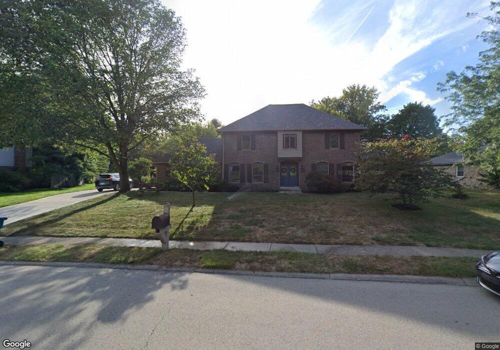
512 Hawthorne Dr Carmel, IN 46033
East Carmel NeighborhoodEstimated Value: $480,000 - $539,000
4
Beds
3
Baths
2,912
Sq Ft
$177/Sq Ft
Est. Value
About This Home
This home is located at 512 Hawthorne Dr, Carmel, IN 46033 and is currently estimated at $516,808, approximately $177 per square foot. 512 Hawthorne Dr is a home located in Hamilton County with nearby schools including Mohawk Trails Elementary School, Clay Middle School, and Carmel High School.
Ownership History
Date
Name
Owned For
Owner Type
Purchase Details
Closed on
Oct 30, 2003
Sold by
Harpold Marion G
Bought by
Harpold Marion G
Current Estimated Value
Purchase Details
Closed on
Jun 11, 2003
Sold by
Harpold Marion G
Bought by
Harpold Marion G
Purchase Details
Closed on
Mar 15, 2001
Sold by
Harpold Marion G
Bought by
Harpold Marion G
Purchase Details
Closed on
Oct 25, 2000
Sold by
Harpold Marion G
Bought by
Harpold Marion G
Create a Home Valuation Report for This Property
The Home Valuation Report is an in-depth analysis detailing your home's value as well as a comparison with similar homes in the area
Home Values in the Area
Average Home Value in this Area
Purchase History
| Date | Buyer | Sale Price | Title Company |
|---|---|---|---|
| Harpold Marion G | -- | -- | |
| Harpold Marion G | -- | -- | |
| Harpold Marion G | -- | -- | |
| Harpold Marion G | -- | -- |
Source: Public Records
Tax History Compared to Growth
Tax History
| Year | Tax Paid | Tax Assessment Tax Assessment Total Assessment is a certain percentage of the fair market value that is determined by local assessors to be the total taxable value of land and additions on the property. | Land | Improvement |
|---|---|---|---|---|
| 2024 | $4,722 | $446,800 | $128,000 | $318,800 |
| 2023 | $4,722 | $437,800 | $119,000 | $318,800 |
| 2022 | $3,905 | $343,200 | $119,000 | $224,200 |
| 2021 | $3,320 | $294,700 | $119,000 | $175,700 |
| 2020 | $3,089 | $274,600 | $119,000 | $155,600 |
| 2019 | $2,992 | $268,500 | $64,600 | $203,900 |
| 2018 | $2,689 | $252,400 | $64,600 | $187,800 |
| 2017 | $2,654 | $250,400 | $64,600 | $185,800 |
| 2016 | $2,594 | $243,900 | $64,600 | $179,300 |
| 2014 | $2,289 | $229,100 | $51,200 | $177,900 |
| 2013 | $2,289 | $218,700 | $51,200 | $167,500 |
Source: Public Records
Map
Nearby Homes
- 651 Hawthorne Dr
- 781 Dayton Dr
- 128 1st Ct
- 13615 Smokey Hollow Place
- 1483 Spruce Dr
- 1816 Spruce Dr
- 3248 Smokey Ridge Way
- 13233 Hazelwood Dr
- 1983 Woodbine Ct
- 1910 Spruce Dr
- 1504 Dorchester Place
- 3172 Smokey Ridge Ln
- 14011 Grisham Dr
- 2913 Twain Dr
- 728 E Main St
- 2945 Millgate Dr
- 1129 Fairbanks Dr
- 131 Blairsden Ave
- 12705 Brookshire Pkwy
- 1303 E 126th St
- 496 Hawthorne Dr
- 542 Hawthorne Dr
- 1375 Sumac Ct
- 1363 Sumac Ct
- 1387 Sumac Ct
- 527 Hawthorne Dr
- 452 Hawthorne Dr
- 469 Hawthorne Dr
- 555 Hawthorne Dr
- 1349 Sumac Ct
- 435 Hawthorne Dr
- 362 4th Ct W
- 580 Hawthorne Dr
- 1315 Sumac Ct
- 374 4th Ct W
- 1392 Smokey Row Ln
- 570 Smokey Row Ct
- 350 4th Ct W
- 1305 Smokey Row Ln
- 552 Smokey Row Ct