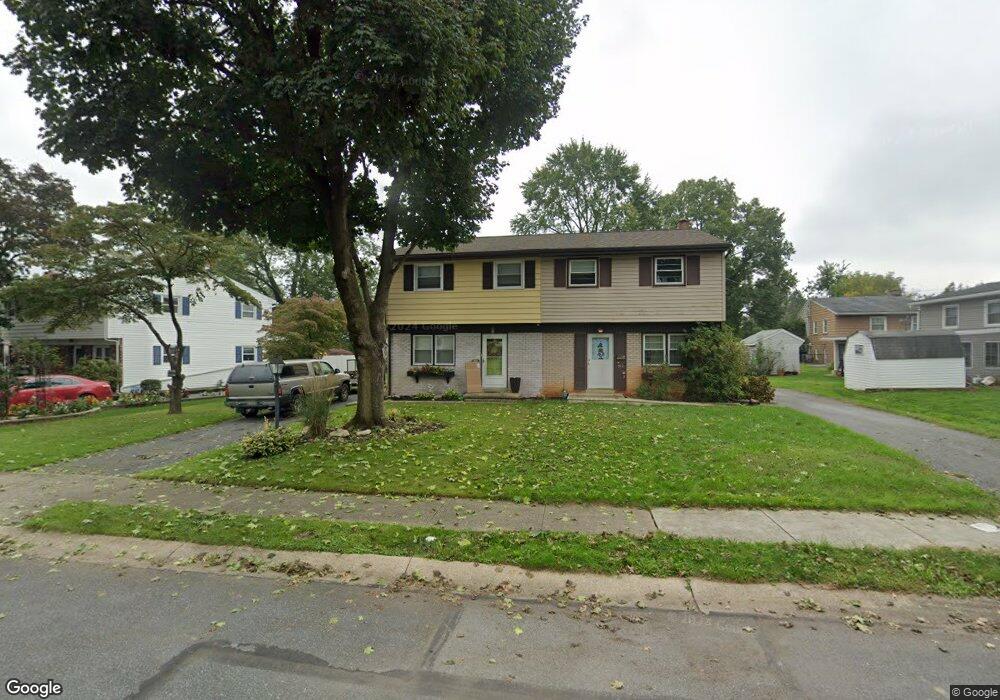
512 Hensley St Lititz, PA 17543
Estimated Value: $263,000 - $307,062
3
Beds
1
Bath
1,140
Sq Ft
$251/Sq Ft
Est. Value
About This Home
This home is located at 512 Hensley St, Lititz, PA 17543 and is currently estimated at $286,016, approximately $250 per square foot. 512 Hensley St is a home located in Lancaster County with nearby schools including Warwick Senior High School, Lititz Christian School, and Linden Hall.
Ownership History
Date
Name
Owned For
Owner Type
Purchase Details
Closed on
Aug 29, 2022
Sold by
Randall Barbara A
Bought by
Randall-Sloan Susan M and Randall-Loose Tracy L
Current Estimated Value
Create a Home Valuation Report for This Property
The Home Valuation Report is an in-depth analysis detailing your home's value as well as a comparison with similar homes in the area
Home Values in the Area
Average Home Value in this Area
Purchase History
| Date | Buyer | Sale Price | Title Company |
|---|---|---|---|
| Randall-Sloan Susan M | -- | None Listed On Document |
Source: Public Records
Tax History Compared to Growth
Tax History
| Year | Tax Paid | Tax Assessment Tax Assessment Total Assessment is a certain percentage of the fair market value that is determined by local assessors to be the total taxable value of land and additions on the property. | Land | Improvement |
|---|---|---|---|---|
| 2025 | $3,025 | $133,700 | $51,500 | $82,200 |
| 2024 | $3,025 | $133,700 | $51,500 | $82,200 |
| 2023 | $3,013 | $133,700 | $51,500 | $82,200 |
| 2022 | $2,845 | $133,700 | $51,500 | $82,200 |
| 2021 | $2,845 | $133,700 | $51,500 | $82,200 |
| 2020 | $2,845 | $133,700 | $51,500 | $82,200 |
| 2019 | $2,845 | $133,700 | $51,500 | $82,200 |
| 2018 | $2,075 | $133,700 | $51,500 | $82,200 |
| 2017 | $2,573 | $95,000 | $28,700 | $66,300 |
| 2016 | $2,573 | $95,000 | $28,700 | $66,300 |
| 2015 | $602 | $95,000 | $28,700 | $66,300 |
| 2014 | $1,758 | $95,000 | $28,700 | $66,300 |
Source: Public Records
Map
Nearby Homes
- 108 Meadows Bend
- 409 Hensley St
- 394 Hensley St
- 398 Hensley St
- 417 Woodcrest Ave
- 516 Woodcrest Ave
- 213 Barkay Crossing
- 133 S Spruce St
- 256 Cedar St S
- 44 E Center St
- 618 W 3rd Ave
- 421 Laurel Ave
- Logan Plan at Walton Hill
- Kingston Plan at Walton Hill
- Amberbrook Plan at Walton Hill
- Oakley Plan at Walton Hill
- Wesley Plan at Walton Hill
- Charlotte Plan at Walton Hill
- Darien Plan at Walton Hill
- Northfield Plan at Walton Hill
- 510 Hensley St
- 445 Fort Ross Ave
- 508 Hensley St
- 443 Fort Ross Ave
- 447 Fort Ross Ave
- 449 Fort Ross Ave
- 506 Hensley St
- 451 Fort Ross Ave
- 504 Hensley St
- 432 W Marion St
- 441 Fort Ross Ave
- 434 W Marion St
- 515 Hensley St
- 513 Hensley St
- 453 Fort Ross Ave
- 502 Hensley St
- 436 W Marion St
- 511 Hensley St
- 439 Fort Ross Ave
- 438 W Marion St