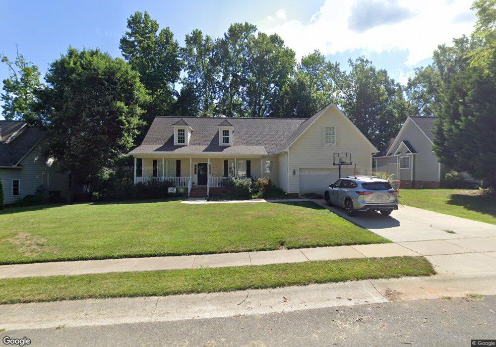
512 Hill Ln Mebane, NC 27302
Estimated Value: $416,442 - $460,000
3
Beds
2
Baths
2,187
Sq Ft
$199/Sq Ft
Est. Value
About This Home
This home is located at 512 Hill Ln, Mebane, NC 27302 and is currently estimated at $435,611, approximately $199 per square foot. 512 Hill Ln is a home located in Alamance County with nearby schools including South Mebane Elementary School, Woodlawn Middle School, and Eastern Alamance High School.
Ownership History
Date
Name
Owned For
Owner Type
Purchase Details
Closed on
Nov 28, 2006
Sold by
Mercer Bradley R
Bought by
Westbrooks Jeffrey N
Current Estimated Value
Home Financials for this Owner
Home Financials are based on the most recent Mortgage that was taken out on this home.
Original Mortgage
$226,000
Outstanding Balance
$135,270
Interest Rate
6.33%
Mortgage Type
New Conventional
Estimated Equity
$300,341
Create a Home Valuation Report for This Property
The Home Valuation Report is an in-depth analysis detailing your home's value as well as a comparison with similar homes in the area
Home Values in the Area
Average Home Value in this Area
Purchase History
| Date | Buyer | Sale Price | Title Company |
|---|---|---|---|
| Westbrooks Jeffrey N | $225,000 | -- |
Source: Public Records
Mortgage History
| Date | Status | Borrower | Loan Amount |
|---|---|---|---|
| Open | Westbrooks Jeffrey N | $226,000 |
Source: Public Records
Tax History
| Year | Tax Paid | Tax Assessment Tax Assessment Total Assessment is a certain percentage of the fair market value that is determined by local assessors to be the total taxable value of land and additions on the property. | Land | Improvement |
|---|---|---|---|---|
| 2025 | $3,778 | $437,220 | $65,000 | $372,220 |
| 2024 | $3,668 | $437,220 | $65,000 | $372,220 |
| 2023 | $3,507 | $437,220 | $65,000 | $372,220 |
| 2022 | $2,637 | $236,616 | $40,000 | $196,616 |
| 2021 | $2,660 | $236,616 | $40,000 | $196,616 |
| 2020 | $2,684 | $236,616 | $40,000 | $196,616 |
| 2019 | $2,697 | $236,616 | $40,000 | $196,616 |
| 2018 | $0 | $236,616 | $40,000 | $196,616 |
| 2017 | $2,484 | $236,616 | $40,000 | $196,616 |
| 2016 | $2,550 | $238,324 | $35,000 | $203,324 |
| 2015 | $1,375 | $238,324 | $35,000 | $203,324 |
| 2014 | $1,257 | $238,324 | $35,000 | $203,324 |
Source: Public Records
Map
Nearby Homes
- 220 Beauregard Ln
- 0 Roosevelt St
- 603 W Mckinley St
- 714 W Mckinley St
- 1045 S Third St
- 606 W Lee St
- 104 Peppertree Dr
- 0 Dyson Dr Unit 10153015
- 421 W Holt St
- 608 W Holt St
- 705 S Fifth St
- 325 Huckleberry Loop
- 955 W Holt St
- 505 Hawfields Rd
- 104 E Wilson St
- Lot# 2 Highway 70 E
- 421 Fairway Dr
- 1107 Briarwood Dr
- 1130 W Holt St
- 203 S Fifth St
- 510 Hill Ln
- 514 Hill Ln
- 465 Stonewall Dr
- 445 Stonewall Dr
- 435 Stonewall Dr
- 511 Hill Ln
- 501 Stonewall Dr
- 425 Stonewall Dr
- 503 Stonewall Dr
- 488 Stonewall Dr
- 509 Hill Ln
- 440 Stonewall Dr
- 472 Stonewall Dr
- 464 Stonewall Dr
- 496 Stonewall Dr
- 504 Hill Ln
- 448 Stonewall Dr
- 498 Stonewall Dr
- 432 Stonewall Dr
- 505 Stonewall Dr
Your Personal Tour Guide
Ask me questions while you tour the home.