512 Johnson Rd Frankfort, KY 40601
Estimated Value: $453,000 - $579,000
Studio
--
Bath
--
Sq Ft
372,874
Sq Ft Lot
About This Home
This home is located at 512 Johnson Rd, Frankfort, KY 40601 and is currently estimated at $513,386. 512 Johnson Rd is a home located in Franklin County with nearby schools including Collins Lane Elementary School, Bondurant Middle School, and Western Hills High School.
Ownership History
Date
Name
Owned For
Owner Type
Purchase Details
Closed on
Jul 8, 2022
Sold by
Fleck Michelle M
Bought by
Brock Group Llc
Current Estimated Value
Purchase Details
Closed on
Mar 8, 2022
Sold by
Ray Meeks Alan
Bought by
Brock Group Llc
Create a Home Valuation Report for This Property
The Home Valuation Report is an in-depth analysis detailing your home's value as well as a comparison with similar homes in the area
Home Values in the Area
Average Home Value in this Area
Purchase History
| Date | Buyer | Sale Price | Title Company |
|---|---|---|---|
| Brock Group Llc | $150,000 | None Listed On Document | |
| Brock Group Llc | $82,575 | Ayer William C |
Source: Public Records
Tax History
| Year | Tax Paid | Tax Assessment Tax Assessment Total Assessment is a certain percentage of the fair market value that is determined by local assessors to be the total taxable value of land and additions on the property. | Land | Improvement |
|---|---|---|---|---|
| 2025 | $3,965 | $331,000 | $0 | $0 |
| 2024 | $3,995 | $331,000 | $0 | $0 |
| 2023 | $3,955 | $331,000 | $0 | $0 |
| 2022 | $3,919 | $331,000 | $0 | $0 |
| 2021 | $3,888 | $331,000 | $0 | $0 |
| 2020 | $3,688 | $311,200 | $25,000 | $286,200 |
| 2019 | $3,765 | $311,200 | $25,000 | $286,200 |
| 2018 | $3,756 | $311,200 | $25,000 | $286,200 |
| 2017 | -- | $311,200 | $25,000 | $286,200 |
| 2016 | $3,549 | $311,200 | $25,000 | $286,200 |
| 2015 | $3,106 | $311,200 | $25,000 | $286,200 |
| 2011 | $3,106 | $311,200 | $25,000 | $286,200 |
Source: Public Records
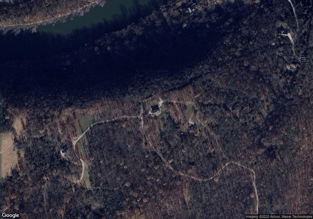
Map
Nearby Homes
- 317 Big Eddy Rd
- 503 Leawood Dr
- 507 Timothy Dr
- 825-835 Glenns Creek Rd
- 251 Leawood Dr
- 1091 Collins Ln
- 710 Woodland Ave
- 106 Admirals Landing
- 511 Capitol Ave
- 124 W Todd St
- 200 Thistlewood Ave Unit 602
- 333 E 4th St Unit B6
- 333 E 4th St Unit B10
- 333 E 4th St Unit A3
- 413 Logan St
- 411 Logan St
- 1054 Devane Ln
- 214 W Campbell St
- 320 Logan St
- 207 Paul Sawyier Dr
- 272 Big Eddy Rd
- 217 Big Eddy Rd
- 225 Big Eddy Rd
- 221 Big Eddy Rd
- 229 Big Eddy Rd
- 235 Big Eddy Rd
- 213 Big Eddy Rd
- 209 Big Eddy Rd
- 239 Big Eddy Rd
- 510 Johnson Rd
- 205 Big Eddy Rd
- 243 Big Eddy Rd
- 249 Big Eddy Rd
- 204 Big Eddy Rd
- 245 Big Eddy Rd
- 200 Big Eddy Rd
- 244 Big Eddy Rd
- 251 Big Eddy Rd
- 251 Big Eddy Rd
- 253 Big Eddy Rd
Your Personal Tour Guide
Ask me questions while you tour the home.