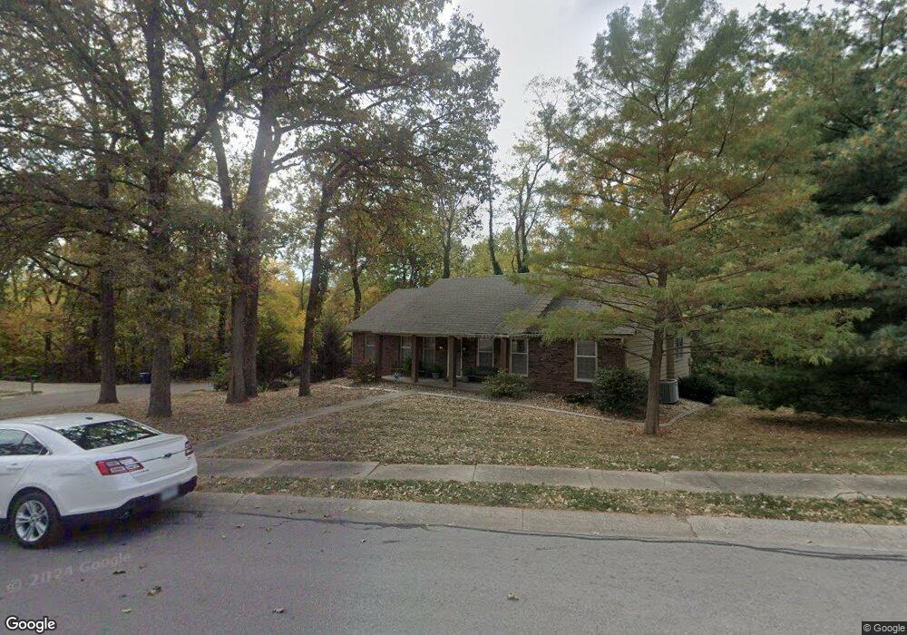
512 Lancelot Ct Liberty, MO 64068
Estimated Value: $296,000 - $345,000
3
Beds
2
Baths
1,614
Sq Ft
$197/Sq Ft
Est. Value
About This Home
This home is located at 512 Lancelot Ct, Liberty, MO 64068 and is currently estimated at $318,738, approximately $197 per square foot. 512 Lancelot Ct is a home located in Clay County with nearby schools including Lewis And Clark Elementary School, Heritage Middle School, and Liberty North High School.
Ownership History
Date
Name
Owned For
Owner Type
Purchase Details
Closed on
Aug 8, 2002
Sold by
Mudge Mark D
Bought by
Mudge Jo Ann
Current Estimated Value
Purchase Details
Closed on
Aug 18, 2000
Sold by
Nowell Michael
Bought by
Mudge Mark D and Mudge Joann
Home Financials for this Owner
Home Financials are based on the most recent Mortgage that was taken out on this home.
Original Mortgage
$160,000
Interest Rate
8.21%
Create a Home Valuation Report for This Property
The Home Valuation Report is an in-depth analysis detailing your home's value as well as a comparison with similar homes in the area
Home Values in the Area
Average Home Value in this Area
Purchase History
| Date | Buyer | Sale Price | Title Company |
|---|---|---|---|
| Mudge Jo Ann | -- | -- | |
| Mudge Mark D | -- | Thomson Title Corporation |
Source: Public Records
Mortgage History
| Date | Status | Borrower | Loan Amount |
|---|---|---|---|
| Closed | Mudge Mark D | $160,000 |
Source: Public Records
Tax History Compared to Growth
Tax History
| Year | Tax Paid | Tax Assessment Tax Assessment Total Assessment is a certain percentage of the fair market value that is determined by local assessors to be the total taxable value of land and additions on the property. | Land | Improvement |
|---|---|---|---|---|
| 2025 | $3,303 | $46,530 | -- | -- |
| 2024 | $3,303 | $42,940 | -- | -- |
| 2023 | $3,359 | $42,940 | $0 | $0 |
| 2022 | $2,828 | $35,700 | $0 | $0 |
| 2021 | $2,806 | $35,701 | $5,700 | $30,001 |
| 2020 | $2,874 | $34,330 | $0 | $0 |
| 2019 | $2,873 | $34,333 | $5,700 | $28,633 |
| 2018 | $2,658 | $31,180 | $0 | $0 |
| 2017 | $2,633 | $31,180 | $5,700 | $25,480 |
| 2016 | $2,633 | $31,180 | $6,460 | $24,720 |
| 2015 | $2,633 | $31,180 | $6,460 | $24,720 |
| 2014 | $2,654 | $31,180 | $6,460 | $24,720 |
Source: Public Records
Map
Nearby Homes
- 523 Lancelot Dr
- 527 Lancelot Dr
- 417 Locust St
- 1484 Hemlock Dr
- 1487 Spruce Dr
- 900 Wildbriar Dr
- 815 Kings Ridge
- 194 Camelot Dr
- 1107 Wildbriar Dr
- 412 N Fairview Ave
- 1304 Nashua Rd
- 15 Valley Rd
- 1025 Orchard Ave
- 1575 Oakwood Ln
- 1207 Linden Rd
- 1208 Linden Rd
- 606 N Morse Ave
- 1548 Timber Ridge Dr
- 9623 NE 89th St
- 1408 Telford Dr
- 508 Lancelot Dr
- 516 Lancelot Ct
- 532 Lancelot Ct
- 520 Lancelot Ct
- 515 Lancelot Dr
- 519 Lancelot Dr
- 524 Lancelot Ct
- 528 Lancelot Ct
- 507 Locust St
- 423 Locust St
- 434 N Clayview Dr
- 500 N Clayview Dr
- 509 Locust St
- 540 Lancelot Dr
- 435 Locust St
- 430 N Clayview Dr
- 504 N Clayview Dr
- 531 Lancelot Dr
- 1347 Camelot Dr
- 508 N Clayview Dr