512 Lane Ave Unit PAUL Stevensville, MD 21666
Estimated Value: $343,099 - $520,000
--
Bed
1
Bath
1,552
Sq Ft
$289/Sq Ft
Est. Value
About This Home
This home is located at 512 Lane Ave Unit PAUL, Stevensville, MD 21666 and is currently estimated at $449,025, approximately $289 per square foot. 512 Lane Ave Unit PAUL is a home located in Queen Anne's County with nearby schools including Matapeake Elementary School, Matapeake Middle School, and Kent Island High School.
Ownership History
Date
Name
Owned For
Owner Type
Purchase Details
Closed on
Dec 31, 1985
Sold by
Bollinger David W and Bollinger Catherine
Bought by
Turkopuls Peter H and Turkopuls Astrida P
Current Estimated Value
Home Financials for this Owner
Home Financials are based on the most recent Mortgage that was taken out on this home.
Original Mortgage
$52,850
Interest Rate
11.09%
Create a Home Valuation Report for This Property
The Home Valuation Report is an in-depth analysis detailing your home's value as well as a comparison with similar homes in the area
Home Values in the Area
Average Home Value in this Area
Purchase History
| Date | Buyer | Sale Price | Title Company |
|---|---|---|---|
| Turkopuls Peter H | $58,000 | -- |
Source: Public Records
Mortgage History
| Date | Status | Borrower | Loan Amount |
|---|---|---|---|
| Closed | Turkopuls Peter H | $52,850 |
Source: Public Records
Tax History Compared to Growth
Tax History
| Year | Tax Paid | Tax Assessment Tax Assessment Total Assessment is a certain percentage of the fair market value that is determined by local assessors to be the total taxable value of land and additions on the property. | Land | Improvement |
|---|---|---|---|---|
| 2025 | $2,980 | $316,367 | $0 | $0 |
| 2024 | $2,773 | $294,333 | $0 | $0 |
| 2023 | $2,565 | $272,300 | $161,000 | $111,300 |
| 2022 | $2,529 | $268,500 | $0 | $0 |
| 2021 | $0 | $264,700 | $0 | $0 |
| 2020 | $2,502 | $260,900 | $161,000 | $99,900 |
| 2019 | $2,413 | $251,567 | $0 | $0 |
| 2018 | $2,323 | $242,233 | $0 | $0 |
| 2017 | $2,234 | $232,900 | $0 | $0 |
| 2016 | -- | $226,533 | $0 | $0 |
| 2015 | $2,552 | $220,167 | $0 | $0 |
| 2014 | $2,552 | $213,800 | $0 | $0 |
Source: Public Records
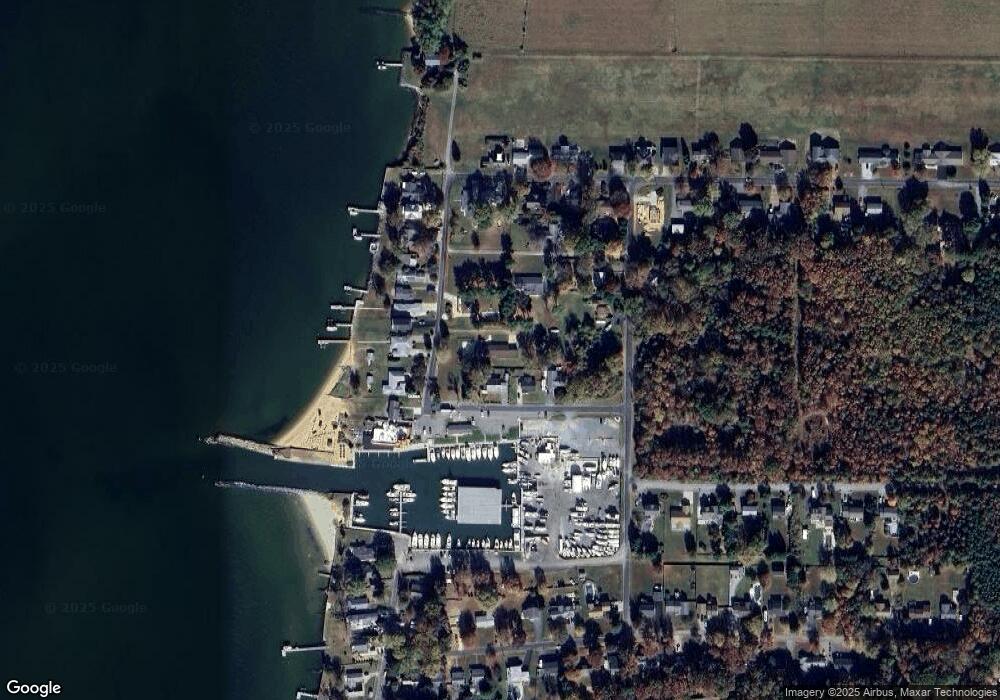
Map
Nearby Homes
- 0 Allen Ave
- 0 Reynolds Ave
- 511 Chesapeake Ave
- 312 Queens Colony High Rd
- 303 Queens Colony High Rd
- 206 Columbia Ln
- 114 Queens Colony High Rd
- 227 Queen Anne Club Dr
- 410 5 Farms Dr
- 303 Queen Anne Club Dr
- 312 Columbia Ln
- 412 Five Farms Dr
- Lot 7 Maple Rd
- 0 Chesapeake Estates Dr
- 103 Chesapeake Estates Dr
- 116 Mallard Dr
- 122 Mallard Dr
- 321 Oregon Rd
- 101 Oak St
- 122 S Carolina Rd
- 512 Lane Ave
- 514 Allen Ave
- 803 Kentmorr Rd
- 510 Allen Ave
- 506 Allen Ave
- 527 Allen Ave
- 512 Reynolds Ave
- 0 Ave Unit MDQA2008914
- 810 Kentmorr Rd
- 900 Kentmorr Rd
- 806 Kentmorr Rd
- 202 Orchid St
- 804 Kentmorr Rd
- 808 Kentmorr Rd
- 906 Kentmorr Rd
- 200 Orchid St
- 800 Kentmorr Rd
- 910 Kentmorr Rd
- 507 Reynolds Ave
- 507 Allen Ave