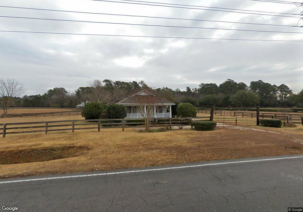
512 Mount Pisgah Rd SW Supply, NC 28462
Estimated Value: $356,000 - $1,004,795
2
Beds
1
Bath
984
Sq Ft
$725/Sq Ft
Est. Value
About This Home
This home is located at 512 Mount Pisgah Rd SW, Supply, NC 28462 and is currently estimated at $713,598, approximately $725 per square foot. 512 Mount Pisgah Rd SW is a home located in Brunswick County with nearby schools including Supply Elementary School, Cedar Grove Middle School, and West Brunswick High School.
Ownership History
Date
Name
Owned For
Owner Type
Purchase Details
Closed on
Mar 30, 2020
Sold by
Saunders Mark A
Bought by
Saunders Sibyl Hewett
Current Estimated Value
Create a Home Valuation Report for This Property
The Home Valuation Report is an in-depth analysis detailing your home's value as well as a comparison with similar homes in the area
Home Values in the Area
Average Home Value in this Area
Purchase History
| Date | Buyer | Sale Price | Title Company |
|---|---|---|---|
| Saunders Sibyl Hewett | -- | None Available |
Source: Public Records
Tax History Compared to Growth
Tax History
| Year | Tax Paid | Tax Assessment Tax Assessment Total Assessment is a certain percentage of the fair market value that is determined by local assessors to be the total taxable value of land and additions on the property. | Land | Improvement |
|---|---|---|---|---|
| 2025 | $2,295 | $658,090 | $337,220 | $320,870 |
| 2024 | $2,295 | $658,090 | $337,220 | $320,870 |
| 2023 | $2,152 | $658,090 | $337,220 | $320,870 |
| 2022 | $2,152 | $427,420 | $255,380 | $172,040 |
| 2021 | $2,152 | $427,420 | $255,380 | $172,040 |
| 2020 | $2,959 | $521,360 | $277,780 | $243,580 |
| 2019 | $2,753 | $287,180 | $277,780 | $9,400 |
| 2018 | $1,802 | $234,790 | $223,450 | $11,340 |
| 2017 | $1,802 | $234,790 | $223,450 | $11,340 |
| 2016 | $1,764 | $234,790 | $223,450 | $11,340 |
| 2015 | $1,764 | $449,770 | $223,450 | $226,320 |
| 2014 | $2,188 | $757,844 | $492,630 | $265,214 |
Source: Public Records
Map
Nearby Homes
- 1645 Shelby Ln SW
- Tr-A Ocean W
- 450 Berry Ln
- 398 Doe Run Dr SW
- 2.25 Ac Taft Rd SW
- 423 S Wild Rice Dr SW
- 665 Pelican Roost Dr SW
- 366 Big Island Dr SW
- 485 N Wild Rice Dr SW
- 712 Sand Castle Dr SW
- 487 N Wild Rice Dr SW
- 1024 SW Maple View Rd
- 831 Treasure Cove Ln SW
- Midland_2 Plan at Ruffins River Landing
- Cotswold_3 Plan at Ruffins River Landing
- Bailey Plan at Ruffins River Landing
- Pembroke_3 Plan at Ruffins River Landing
- Cameron Plan at Ruffins River Landing
- Somerset_3 Plan at Ruffins River Landing
- Stoddard Plan at Ruffins River Landing
- 530 Mount Pisgah Rd SW
- 549 Mount Pisgah Rd SW
- 580 Mt Pisgah Rd SW
- 469 Mount Pisgah Rd SW
- 1099 Turnpike Rd SW
- 611 Mount Pisgah Rd SW
- 1217 Mooney Way SW
- 1340 Civietown Rd SW
- 1203 Mooney Way SW
- 1339 Civietown Rd SW
- 1209 Mooney Way SW
- 1146 Hewett Rd SW
- 1047 Turnpike Rd SW
- 1110 Hewett Rd SW
- 1372 Civietown Rd SW
- 349 Mount Pisgah Rd SW
- 537 Cumbee Rd SW
- 335 Mount Pisgah Rd SW
- 330 Mount Pisgah Rd SW
- 325 Mount Pisgah Rd SW