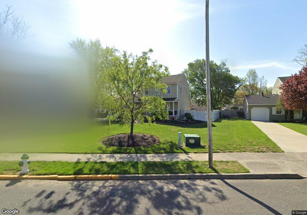
512 Myrtle Ave Gibbstown, NJ 08027
Estimated Value: $311,843 - $396,000
Studio
--
Bath
1,709
Sq Ft
$211/Sq Ft
Est. Value
About This Home
This home is located at 512 Myrtle Ave, Gibbstown, NJ 08027 and is currently estimated at $360,711, approximately $211 per square foot. 512 Myrtle Ave is a home located in Gloucester County with nearby schools including Nehaunsey Middle School and Guardian Angels Regional School.
Ownership History
Date
Name
Owned For
Owner Type
Purchase Details
Closed on
Jul 17, 1998
Sold by
Long John R
Bought by
Mooney Frank A and Mooney Chery A
Current Estimated Value
Home Financials for this Owner
Home Financials are based on the most recent Mortgage that was taken out on this home.
Original Mortgage
$106,400
Interest Rate
6.92%
Create a Home Valuation Report for This Property
The Home Valuation Report is an in-depth analysis detailing your home's value as well as a comparison with similar homes in the area
Home Values in the Area
Average Home Value in this Area
Purchase History
| Date | Buyer | Sale Price | Title Company |
|---|---|---|---|
| Mooney Frank A | $112,000 | -- |
Source: Public Records
Mortgage History
| Date | Status | Borrower | Loan Amount |
|---|---|---|---|
| Previous Owner | Mooney Frank A | $106,400 |
Source: Public Records
Tax History
| Year | Tax Paid | Tax Assessment Tax Assessment Total Assessment is a certain percentage of the fair market value that is determined by local assessors to be the total taxable value of land and additions on the property. | Land | Improvement |
|---|---|---|---|---|
| 2025 | $6,115 | $177,600 | $39,000 | $138,600 |
| 2024 | $5,793 | $177,600 | $39,000 | $138,600 |
Source: Public Records
Map
Nearby Homes
- 135 Mellon Ave
- 318 E Broad St
- 268 Memorial Ave
- 255 Elizabeth Ave
- L18 20 W Broad St
- 1224 Heddon Ave
- 1311 Penn Line Rd
- 269 W Broad St
- 1221 Walter Ave
- 157 S School St
- 361 Democrat Rd
- 227 W Buck St
- 227 W Washington St
- 1534 Pine St
- 1003 Hoffman Ave
- 1519 Pine St
- 101 Giammarino Ave
- 432 Country Way
- 205 W Adams St
- 122 W Washington St
- 508 Myrtle Ave
- 516 Myrtle Ave
- 504 Myrtle Ave
- 612 Betty Rose Ave
- 608 Betty Rose Ave
- 520 Myrtle Ave
- 616 Betty Rose Ave
- 604 Betty Rose Ave
- 620 Betty Rose Ave
- 135 Carson Ave
- 500 Myrtle Ave
- 127 Carson Ave
- 524 Myrtle Ave
- 517 Myrtle Ave
- 624 Betty Rose Ave
- 600 Betty Rose Ave
- 521 Myrtle Ave
- 611 Betty Rose Ave
- 615 Betty Rose Ave
- 607 Betty Rose Ave
Your Personal Tour Guide
Ask me questions while you tour the home.