512 N 900 E Lafayette, IN 47905
Estimated Value: $393,000 - $478,176
Studio
--
Bath
2,812
Sq Ft
$154/Sq Ft
Est. Value
About This Home
This home is located at 512 N 900 E, Lafayette, IN 47905 and is currently estimated at $434,294, approximately $154 per square foot. 512 N 900 E is a home located in Tippecanoe County with nearby schools including Hershey Elementary School, East Tipp Middle School, and William Henry Harrison High School.
Ownership History
Date
Name
Owned For
Owner Type
Purchase Details
Closed on
Sep 15, 2007
Sold by
Fisher Albert L and Fisher Karen L
Bought by
Kickapoo Falls Lp
Current Estimated Value
Purchase Details
Closed on
Jul 16, 2007
Sold by
Fisher Family Lp
Bought by
Kickapoo Falls Lp
Purchase Details
Closed on
May 11, 2007
Sold by
Fisher Albert L and Fisher Karen I
Bought by
The Fisher Family Lp
Home Financials for this Owner
Home Financials are based on the most recent Mortgage that was taken out on this home.
Original Mortgage
$265,600
Interest Rate
6.25%
Mortgage Type
Purchase Money Mortgage
Purchase Details
Closed on
Apr 4, 2007
Sold by
Fisher Albert L and Fisher Karen I
Bought by
Morgan Ronald D and Morgan Cheryl A
Home Financials for this Owner
Home Financials are based on the most recent Mortgage that was taken out on this home.
Original Mortgage
$265,600
Interest Rate
6.25%
Mortgage Type
Purchase Money Mortgage
Create a Home Valuation Report for This Property
The Home Valuation Report is an in-depth analysis detailing your home's value as well as a comparison with similar homes in the area
Purchase History
| Date | Buyer | Sale Price | Title Company |
|---|---|---|---|
| Kickapoo Falls Lp | -- | None Available | |
| Kickapoo Falls Lp | -- | None Available | |
| The Fisher Family Lp | -- | None Available | |
| Morgan Ronald D | -- | None Available | |
| Fisher Albert L | -- | None Available |
Source: Public Records
Mortgage History
| Date | Status | Borrower | Loan Amount |
|---|---|---|---|
| Previous Owner | Morgan Ronald D | $265,600 |
Source: Public Records
Tax History
| Year | Tax Paid | Tax Assessment Tax Assessment Total Assessment is a certain percentage of the fair market value that is determined by local assessors to be the total taxable value of land and additions on the property. | Land | Improvement |
|---|---|---|---|---|
| 2024 | $984 | $71,100 | $34,800 | $36,300 |
| 2023 | $988 | $69,500 | $34,800 | $34,700 |
| 2022 | $978 | $67,100 | $34,800 | $32,300 |
| 2021 | $949 | $64,900 | $34,800 | $30,100 |
| 2020 | $919 | $258,800 | $34,800 | $224,000 |
| 2019 | $3,639 | $250,600 | $34,800 | $215,800 |
| 2018 | $3,431 | $241,400 | $34,800 | $206,600 |
| 2017 | $3,343 | $235,200 | $34,800 | $200,400 |
| 2016 | $3,217 | $230,700 | $34,800 | $195,900 |
| 2014 | $2,852 | $206,400 | $34,800 | $171,600 |
| 2013 | $2,980 | $204,500 | $34,800 | $169,700 |
Source: Public Records
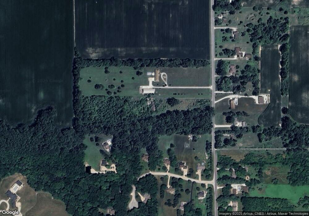
Map
Nearby Homes
- 10012 Indiana 26
- 7440 Preflight Path
- 8460 Shepardson Creek Dr E
- 9924 W State Road 26
- 30 Oriole Ct
- 7718 Halifax Ct
- 1216 S 750 E
- 216 Wallingford St
- 369 Wallingford (290 Bls) St
- 215 Folkston Way
- 1817 Connemara Ct
- 330 Wallingford (Lot 274) St
- 6423 Folkston (95 Bls) Way
- 402 St
- 376 Haddington Ln
- 138 Finsbury St
- 6136 Helmsdale Dr
- 6149 Helmsdale (Lot 41) Dr
- 6125 Helmsdale Dr
- 489 Elbridge Ln
Your Personal Tour Guide
Ask me questions while you tour the home.