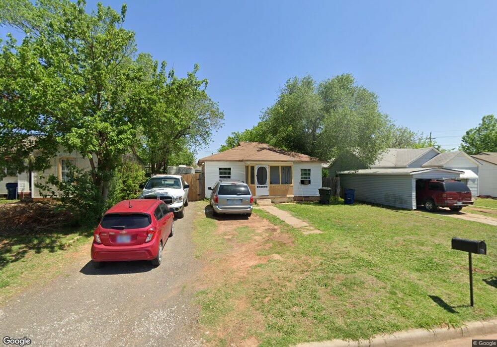
512 N C St Duncan, OK 73533
Estimated Value: $48,000 - $55,156
2
Beds
1
Bath
1,061
Sq Ft
$49/Sq Ft
Est. Value
About This Home
This home is located at 512 N C St, Duncan, OK 73533 and is currently estimated at $51,539, approximately $48 per square foot. 512 N C St is a home located in Stephens County with nearby schools including Woodrow Wilson Elementary School, Duncan Middle School, and Duncan High School.
Ownership History
Date
Name
Owned For
Owner Type
Purchase Details
Closed on
Apr 3, 2018
Sold by
Dth Reo Inc
Bought by
Stroud Daniel and Stroud Tracy
Current Estimated Value
Home Financials for this Owner
Home Financials are based on the most recent Mortgage that was taken out on this home.
Original Mortgage
$17,900
Outstanding Balance
$7,573
Interest Rate
4.45%
Mortgage Type
New Conventional
Estimated Equity
$43,966
Purchase Details
Closed on
Mar 8, 2016
Sold by
Deutsche Bank Trust Company America
Bought by
Dth Reo Inc
Purchase Details
Closed on
Dec 1, 2015
Sold by
Erik Mark
Bought by
Deutsche Bank Trust Company Americas and Residential Asset Mortgage Products Inc
Purchase Details
Closed on
Jul 8, 2011
Sold by
Cowan Gary and Cowan Denise
Bought by
Sporn Tina Michelle and Cowan Mark Erik
Purchase Details
Closed on
Apr 5, 2001
Sold by
Boice Dorothy
Purchase Details
Closed on
Oct 31, 1997
Sold by
Boice Raymond and Boice Dorothy
Create a Home Valuation Report for This Property
The Home Valuation Report is an in-depth analysis detailing your home's value as well as a comparison with similar homes in the area
Purchase History
| Date | Buyer | Sale Price | Title Company |
|---|---|---|---|
| Stroud Daniel | $19,900 | None Available | |
| Dth Reo Inc | $3,119 | Premium Title Services Inc | |
| Deutsche Bank Trust Company Americas | $26,118 | None Available | |
| Sporn Tina Michelle | -- | None Available | |
| -- | -- | -- | |
| -- | -- | -- |
Source: Public Records
Mortgage History
| Date | Status | Borrower | Loan Amount |
|---|---|---|---|
| Open | Stroud Daniel | $17,900 |
Source: Public Records
Tax History
| Year | Tax Paid | Tax Assessment Tax Assessment Total Assessment is a certain percentage of the fair market value that is determined by local assessors to be the total taxable value of land and additions on the property. | Land | Improvement |
|---|---|---|---|---|
| 2025 | $256 | $3,040 | $383 | $2,657 |
| 2024 | $235 | $2,757 | $383 | $2,374 |
| 2023 | $235 | $2,757 | $383 | $2,374 |
| 2022 | $213 | $2,626 | $383 | $2,243 |
| 2021 | $213 | $2,501 | $383 | $2,118 |
| 2020 | $196 | $2,269 | $383 | $1,886 |
| 2019 | $187 | $2,164 | $383 | $1,781 |
| 2018 | $150 | $1,684 | $383 | $1,301 |
| 2017 | $357 | $1,762 | $383 | $1,379 |
| 2016 | $176 | $2,071 | $383 | $1,688 |
| 2015 | $229 | $2,071 | $383 | $1,688 |
| 2014 | $229 | $2,071 | $383 | $1,688 |
Source: Public Records
Map
Nearby Homes
Your Personal Tour Guide
Ask me questions while you tour the home.