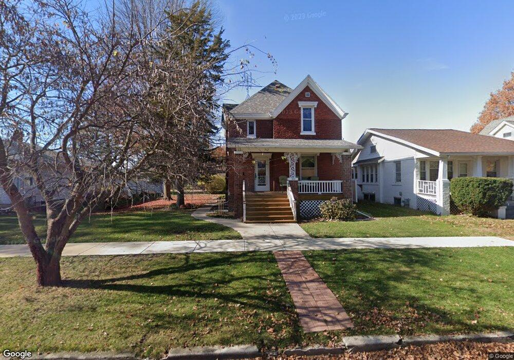
512 Phillips St Galesburg, IL 61401
Estimated Value: $73,000 - $108,202
3
Beds
2
Baths
1,326
Sq Ft
$68/Sq Ft
Est. Value
About This Home
This home is located at 512 Phillips St, Galesburg, IL 61401 and is currently estimated at $90,301, approximately $68 per square foot. 512 Phillips St is a home located in Knox County with nearby schools including Nielson Elementary School, Lombard Middle School, and King Elementary School.
Ownership History
Date
Name
Owned For
Owner Type
Purchase Details
Closed on
Sep 25, 2009
Sold by
Luken Robin E and Luken Susan A
Bought by
Carlson David A and Carlson Betty M
Current Estimated Value
Home Financials for this Owner
Home Financials are based on the most recent Mortgage that was taken out on this home.
Original Mortgage
$36,650
Interest Rate
5.38%
Mortgage Type
New Conventional
Create a Home Valuation Report for This Property
The Home Valuation Report is an in-depth analysis detailing your home's value as well as a comparison with similar homes in the area
Home Values in the Area
Average Home Value in this Area
Purchase History
| Date | Buyer | Sale Price | Title Company |
|---|---|---|---|
| Carlson David A | $60,000 | Attorney Only |
Source: Public Records
Mortgage History
| Date | Status | Borrower | Loan Amount |
|---|---|---|---|
| Closed | Carlson David A | $36,650 |
Source: Public Records
Tax History Compared to Growth
Tax History
| Year | Tax Paid | Tax Assessment Tax Assessment Total Assessment is a certain percentage of the fair market value that is determined by local assessors to be the total taxable value of land and additions on the property. | Land | Improvement |
|---|---|---|---|---|
| 2024 | $1,375 | $25,820 | $2,980 | $22,840 |
| 2023 | $1,375 | $25,000 | $2,890 | $22,110 |
| 2022 | $1,097 | $22,580 | $2,890 | $19,690 |
| 2021 | $875 | $21,310 | $2,730 | $18,580 |
| 2020 | $889 | $21,310 | $2,730 | $18,580 |
| 2019 | $896 | $20,900 | $2,680 | $18,220 |
| 2018 | $893 | $20,900 | $2,600 | $18,300 |
| 2017 | $931 | $20,290 | $2,520 | $17,770 |
| 2015 | -- | $19,990 | $2,480 | $17,510 |
| 2013 | $896 | $20,200 | $2,510 | $17,690 |
Source: Public Records
Map
Nearby Homes
- 1215 E Losey St
- 790 Arnold St
- 187 Silver St
- 140 Fulton St
- 75 Division St
- 784 Florence Ave
- 1136 Grand Ave
- 633 E Grove St
- 1397 Haynor St
- 796 E Main St
- 1050 E Fremont St
- 859 Mulberry St
- 144 Sumner St
- 682 Willard St
- 241 N Chambers St
- 763 Mulberry St
- 751 Mulberry St
- 721 Mulberry St
- 424 Locust St
- 39 S Chambers St
- 522 Phillips St
- 1387 E Grove St
- 530 Phillips St
- 505 Burgland Ave
- 544 Phillips St
- 527 Burgland Ave
- 464 Phillips St
- 515 Phillips St
- 523 Phillips St
- 497 Burgland Ave
- 499 Phillips St
- 562 Phillips St
- 535 Burgland Ave
- 456 Phillips St
- 543 Burgland Ave
- 537 Phillips St
- 469 Burgland Ave
- 564 Phillips St
- 547 Phillips St
- 461 Phillips St