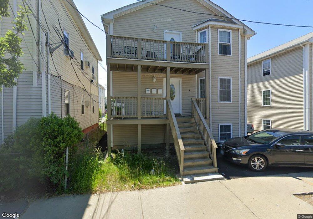
512 Public St Providence, RI 02907
Lower South Providence NeighborhoodEstimated Value: $646,971 - $689,000
8
Beds
4
Baths
3,072
Sq Ft
$217/Sq Ft
Est. Value
About This Home
This home is located at 512 Public St, Providence, RI 02907 and is currently estimated at $666,493, approximately $216 per square foot. 512 Public St is a home located in Providence County with nearby schools including Highlander Charter School and Bishop Mcvinney Elementary School.
Ownership History
Date
Name
Owned For
Owner Type
Purchase Details
Closed on
Jun 9, 2015
Sold by
Suazo Santos and Providence City Of
Bought by
Suazo Santos
Current Estimated Value
Purchase Details
Closed on
May 18, 2015
Sold by
Suazo Santos
Bought by
Liriano Juan H
Create a Home Valuation Report for This Property
The Home Valuation Report is an in-depth analysis detailing your home's value as well as a comparison with similar homes in the area
Home Values in the Area
Average Home Value in this Area
Purchase History
| Date | Buyer | Sale Price | Title Company |
|---|---|---|---|
| Suazo Santos | $8,102 | -- | |
| Liriano Juan H | -- | -- |
Source: Public Records
Mortgage History
| Date | Status | Borrower | Loan Amount |
|---|---|---|---|
| Previous Owner | Liriano Juan H | $61,900 | |
| Previous Owner | Liriano Juan H | $55,860 | |
| Previous Owner | Liriano Juan H | $133,000 |
Source: Public Records
Tax History
| Year | Tax Paid | Tax Assessment Tax Assessment Total Assessment is a certain percentage of the fair market value that is determined by local assessors to be the total taxable value of land and additions on the property. | Land | Improvement |
|---|---|---|---|---|
| 2025 | $4,631 | $613,400 | $120,200 | $493,200 |
| 2024 | $8,019 | $437,000 | $76,100 | $360,900 |
| 2023 | $8,019 | $437,000 | $76,100 | $360,900 |
| 2022 | $7,779 | $437,000 | $76,100 | $360,900 |
| 2021 | $6,980 | $284,200 | $33,800 | $250,400 |
| 2020 | $6,980 | $284,200 | $33,800 | $250,400 |
| 2019 | $6,980 | $284,200 | $33,800 | $250,400 |
| 2018 | $6,478 | $202,700 | $30,700 | $172,000 |
| 2017 | $6,478 | $202,700 | $30,700 | $172,000 |
| 2016 | $6,478 | $202,700 | $30,700 | $172,000 |
| 2015 | $5,812 | $175,600 | $30,700 | $144,900 |
| 2014 | $5,927 | $175,600 | $30,700 | $144,900 |
| 2013 | -- | $175,600 | $30,700 | $144,900 |
Source: Public Records
Map
Nearby Homes
- 171 Reynolds Ave
- 296 Potters Ave
- 3 Mount Vernon St
- 61 Stanwood St
- 462 Prairie Ave
- 38 Mitchell St
- 61 Whitmarsh St
- 649 Public St
- 24 Reynolds Ave
- 143 Houston St
- 136 Houston St
- 14 Burnside St
- 394 Blackstone St
- 8 Atlantic Ave
- 217 Elmwood Ave
- 131 Mitchell St
- 155 Burnside St
- 512 Pine St Unit C3
- 186 Oxford St
- 67 Trask St
Your Personal Tour Guide
Ask me questions while you tour the home.