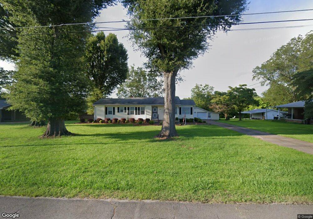
512 Riverside Dr Gadsden, AL 35903
Estimated Value: $139,000 - $221,000
Studio
1
Bath
1,686
Sq Ft
$104/Sq Ft
Est. Value
About This Home
This home is located at 512 Riverside Dr, Gadsden, AL 35903 and is currently estimated at $174,945, approximately $103 per square foot. 512 Riverside Dr is a home located in Etowah County with nearby schools including Donehoo Elementary School, Litchfield Middle School, and Gadsden City High School.
Ownership History
Date
Name
Owned For
Owner Type
Purchase Details
Closed on
Aug 10, 2015
Bought by
Carroll Michelle and Reaves Casey
Current Estimated Value
Purchase Details
Closed on
May 29, 2014
Sold by
Jonathan Ross Jonathan Ross and Long Milburn R
Bought by
Abel Barbara
Home Financials for this Owner
Home Financials are based on the most recent Mortgage that was taken out on this home.
Original Mortgage
$88,000
Interest Rate
4.36%
Mortgage Type
Purchase Money Mortgage
Purchase Details
Closed on
Aug 29, 2013
Sold by
Townsend Cathye
Bought by
Long Milburn R and Long Anna Victoria R
Create a Home Valuation Report for This Property
The Home Valuation Report is an in-depth analysis detailing your home's value as well as a comparison with similar homes in the area
Home Values in the Area
Average Home Value in this Area
Purchase History
| Date | Buyer | Sale Price | Title Company |
|---|---|---|---|
| Carroll Michelle | -- | -- | |
| Abel Barbara | $88,000 | -- | |
| Long Milburn R | $71,000 | -- |
Source: Public Records
Mortgage History
| Date | Status | Borrower | Loan Amount |
|---|---|---|---|
| Previous Owner | Abel Barbara | $88,000 |
Source: Public Records
Tax History
| Year | Tax Paid | Tax Assessment Tax Assessment Total Assessment is a certain percentage of the fair market value that is determined by local assessors to be the total taxable value of land and additions on the property. | Land | Improvement |
|---|---|---|---|---|
| 2025 | $612 | $12,480 | $640 | $11,840 |
| 2024 | $605 | $12,340 | $640 | $11,700 |
| 2023 | $0 | $12,330 | $640 | $11,690 |
| 2022 | $0 | $10,220 | $0 | $0 |
| 2021 | $0 | $8,460 | $640 | $7,820 |
| 2020 | $0 | $8,460 | $0 | $0 |
| 2019 | $0 | $8,460 | $0 | $0 |
| 2017 | $0 | $7,280 | $0 | $0 |
| 2016 | $0 | $7,280 | $0 | $0 |
| 2015 | -- | $7,280 | $0 | $0 |
| 2013 | -- | $13,720 | $0 | $0 |
Source: Public Records
Map
Nearby Homes
- 7.4 acres Riverside Dr
- 0 Camden Cove Ln Unit 21440408
- 207 Paden Rd
- 0.69 Acres +/- Camden Cove Ln
- 4775 Whorton Bend Rd
- 1524 Arrowhead Dr
- 235 Audrey Ln
- 386 Wilson Cir
- 0 Springrock St Unit 21440171
- 530 Allen St
- 3.2 ACRES Northwoods Trail
- 5 Northwood Trail
- 611 Greenwood Ave
- 1316 Linden St
- 129 Wilson Cir
- 1042 Oakland Dr
- 820 Garmon Rd
- 614 Padenreich Ave
- 177 Wilson Dr
- 306 Greenwood Ave
- 510 Riverside Dr
- 514 Riverside Dr
- 511 Riverside Dr
- 508 Riverside Dr
- 513 Riverside Dr
- 213 Murray Dr
- 523 Riverside Dr
- 217 Murray Dr
- 443 Riverside Dr
- 532 Riverside Dr
- 221 Murray Dr
- 1119 Padenreich Ave
- 442 Riverside Dr
- 441 Riverside Dr
- 531 Riverside Dr
- 531 Riverside Dr
- 536 Riverside Dr
- 151 Pine Harbor Ln
- 537 Riverside Dr
- 218 Murray Dr
Your Personal Tour Guide
Ask me questions while you tour the home.