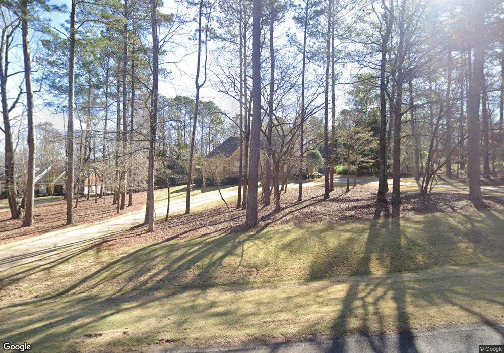
512 Riverside Dr Lagrange, GA 30240
Estimated Value: $508,000 - $575,000
4
Beds
2
Baths
3,114
Sq Ft
$171/Sq Ft
Est. Value
About This Home
This home is located at 512 Riverside Dr, Lagrange, GA 30240 and is currently estimated at $531,387, approximately $170 per square foot. 512 Riverside Dr is a home located in Troup County with nearby schools including Ethel W. Kight Elementary School, Hollis Hand Elementary School, and Franklin Forest Elementary School.
Ownership History
Date
Name
Owned For
Owner Type
Purchase Details
Closed on
Jan 2, 2001
Sold by
Knight & Knight Llc
Bought by
Doyle Allen M and Doyle Kathleen C
Current Estimated Value
Purchase Details
Closed on
Dec 29, 2000
Sold by
Charles Knight Const Llc
Bought by
Knight & Knight Llc
Purchase Details
Closed on
Dec 19, 1980
Bought by
Charles Knight Const Llc
Create a Home Valuation Report for This Property
The Home Valuation Report is an in-depth analysis detailing your home's value as well as a comparison with similar homes in the area
Purchase History
| Date | Buyer | Sale Price | Title Company |
|---|---|---|---|
| Doyle Allen M | -- | -- | |
| Knight & Knight Llc | $360,000 | -- | |
| Charles Knight Const Llc | -- | -- |
Source: Public Records
Tax History
| Year | Tax Paid | Tax Assessment Tax Assessment Total Assessment is a certain percentage of the fair market value that is determined by local assessors to be the total taxable value of land and additions on the property. | Land | Improvement |
|---|---|---|---|---|
| 2025 | $6,009 | $220,320 | $20,000 | $200,320 |
| 2024 | $5,412 | $198,440 | $20,000 | $178,440 |
| 2023 | $5,123 | $187,840 | $20,000 | $167,840 |
| 2022 | $4,464 | $159,960 | $20,000 | $139,960 |
| 2021 | $4,532 | $150,280 | $20,000 | $130,280 |
| 2020 | $4,522 | $149,920 | $20,000 | $129,920 |
| 2019 | $4,132 | $137,000 | $16,000 | $121,000 |
| 2018 | $4,132 | $137,000 | $16,000 | $121,000 |
| 2017 | $4,132 | $137,000 | $16,000 | $121,000 |
| 2016 | $4,232 | $140,308 | $16,000 | $124,308 |
| 2015 | $4,239 | $140,308 | $16,000 | $124,308 |
| 2014 | $3,848 | $127,151 | $16,000 | $111,151 |
| 2013 | -- | $131,872 | $16,000 | $115,872 |
Source: Public Records
Map
Nearby Homes
- 709 Vernon Ferry Rd
- 4004 White Oak Ln
- 110 Thomas Dr
- 129 Angela East Dr
- 4.5 ACRES Whatley Rd N
- 0 Deming St Unit 10550189
- 0 Salem Rd Tract 2 Unit 10675187
- 104 Dogwood Point
- 213 Linda Ln
- 98 Hearn Rd
- 203 Shawnee Dr
- 103 Iroquois Dr
- 104 Spring Valley Dr
- 112 Brookwood Dr
- 112 Foxdale Dr
- 117 Brookwood Dr
- 210 Pinehaven Dr
- 402 Ginger Cir
- 245 Teaver Rd
- 201 Willowcrest Way
- 514 Riverside Dr
- 510 Riverside Dr
- 119 Bonny Oaks Dr Unit 12
- 119 Bonny Oaks Dr
- 516 Riverside Dr
- 508 Riverside Dr
- 117 Bonny Oaks Dr Unit 13
- 117 Bonny Oaks Dr
- 511 Riverside Dr
- 513 Riverside Dr
- 509 Riverside Dr
- 120 Bonny Oaks Dr Unit 11
- 113 Bonny Oaks Dr
- 506 Riverside Dr
- 518 Riverside Dr
- 515 Riverside Dr
- 507 Riverside Dr
- 111 Bonny Oaks Dr
- 116 Bonny Oaks Dr Unit 8, 9, 10
- 504 Riverside Dr
Your Personal Tour Guide
Ask me questions while you tour the home.