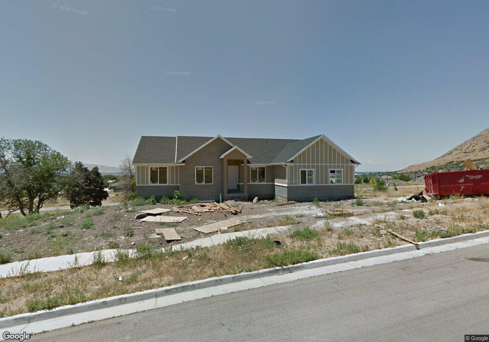
512 S 2000 E Springville, UT 84663
East Hobble Creek NeighborhoodEstimated Value: $583,000 - $702,000
3
Beds
2
Baths
3,470
Sq Ft
$185/Sq Ft
Est. Value
About This Home
This home is located at 512 S 2000 E, Springville, UT 84663 and is currently estimated at $641,706, approximately $184 per square foot. 512 S 2000 E is a home located in Utah County with nearby schools including Brookside School, Springville High School, and Springville Junior High School.
Ownership History
Date
Name
Owned For
Owner Type
Purchase Details
Closed on
Oct 8, 2012
Sold by
Vss N8 Llc
Bought by
Fry Legrand and Fry Kristina
Current Estimated Value
Purchase Details
Closed on
Jan 9, 2012
Sold by
Bank Of Utah
Bought by
Vss-N8-Llc
Home Financials for this Owner
Home Financials are based on the most recent Mortgage that was taken out on this home.
Original Mortgage
$183,750
Interest Rate
10%
Mortgage Type
Purchase Money Mortgage
Purchase Details
Closed on
Jan 16, 2009
Sold by
Gates Daren V and Gates Crystelle
Bought by
Bank Of Utah
Purchase Details
Closed on
Feb 1, 2008
Sold by
Cherrington Heights Llc
Bought by
Gates Daren
Home Financials for this Owner
Home Financials are based on the most recent Mortgage that was taken out on this home.
Original Mortgage
$3,255,000
Interest Rate
6.09%
Mortgage Type
Purchase Money Mortgage
Create a Home Valuation Report for This Property
The Home Valuation Report is an in-depth analysis detailing your home's value as well as a comparison with similar homes in the area
Home Values in the Area
Average Home Value in this Area
Purchase History
| Date | Buyer | Sale Price | Title Company |
|---|---|---|---|
| Fry Legrand | -- | Title West | |
| Vss-N8-Llc | -- | Title West Orem | |
| Bank Of Utah | -- | None Available | |
| Gates Daren | -- | Utah First Title Insurance |
Source: Public Records
Mortgage History
| Date | Status | Borrower | Loan Amount |
|---|---|---|---|
| Previous Owner | Vss-N8-Llc | $183,750 | |
| Previous Owner | Gates Daren | $3,255,000 |
Source: Public Records
Tax History
| Year | Tax Paid | Tax Assessment Tax Assessment Total Assessment is a certain percentage of the fair market value that is determined by local assessors to be the total taxable value of land and additions on the property. | Land | Improvement |
|---|---|---|---|---|
| 2025 | $2,987 | $321,310 | -- | -- |
| 2024 | $2,987 | $305,965 | $0 | $0 |
| 2023 | $2,941 | $301,565 | $0 | $0 |
| 2022 | $1,027 | $325,050 | $0 | $0 |
| 2021 | $2,900 | $454,600 | $157,600 | $297,000 |
| 2020 | $2,748 | $417,700 | $137,000 | $280,700 |
| 2019 | $2,603 | $402,700 | $129,600 | $273,100 |
| 2018 | $2,653 | $391,600 | $118,500 | $273,100 |
| 2017 | $2,616 | $205,150 | $0 | $0 |
| 2016 | $2,388 | $183,535 | $0 | $0 |
| 2015 | $2,119 | $166,485 | $0 | $0 |
| 2014 | $2,121 | $165,605 | $0 | $0 |
Source: Public Records
Map
Nearby Homes
- 59 E 775 S Unit 21
- 52 E 775 S Unit 19
- 1800 Spring Oaks Dr
- 66 E 750 S Unit 23
- 1783 E Spring Oaks Dr N Unit 12 & 1
- 557 S 1470 E
- 1839 River Bottom Rd
- 1092 Valley Sage Dr
- 829 S 2200 E
- 1618 E 970 S
- 1361 E 400 S
- 1518 E Pheasant Run Dr
- 2541 Stonebury Loop Rd
- 1052 Cove Dr
- 1884 Town And Country Rd
- 1185 Hillcrest Dr
- 1130 Hillcrest Dr
- 1062 E 350 S
- 715 E 1700 N
- 145 W Carnesecca Ct
- 512 S 2000 E Unit 59
- 538 S 2000 E Unit 58
- 538 S 2000 E
- 1956 E 500 S
- 1956 E 500 S Unit 28
- 2032 E 500 S Unit 69
- 2032 E 500 S
- 541 S 1950 E Unit 46
- 490 S 2000 E Unit 60
- 490 S 2000 E
- 554 S 2000 E
- 491 S 1950 E Unit 29
- 549 S 2000 E Unit 70
- 2054 E 500 S
- 2054 E 500 S Unit 68
- 557 S 1950 E Unit 47
- 493 S 2000 E Unit 67
- 474 S 2000 E
- 1946 N 500 W Unit 27
- 1946 E 500 S Unit 27
Your Personal Tour Guide
Ask me questions while you tour the home.