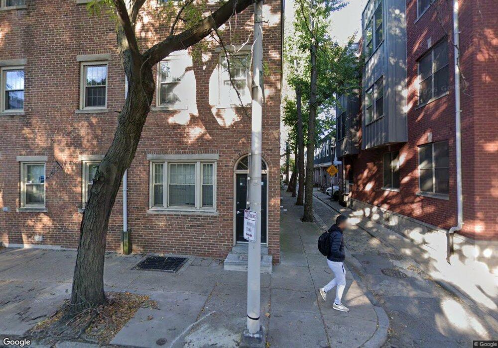
512 S 7th St Philadelphia, PA 19147
Washington Square West NeighborhoodEstimated Value: $933,000 - $1,253,802
--
Bed
--
Bath
2,880
Sq Ft
$376/Sq Ft
Est. Value
About This Home
This home is located at 512 S 7th St, Philadelphia, PA 19147 and is currently estimated at $1,082,601, approximately $375 per square foot. 512 S 7th St is a home located in Philadelphia County with nearby schools including General George A McCall Public School, Benjamin Franklin High School, and St. Peter's School.
Ownership History
Date
Name
Owned For
Owner Type
Purchase Details
Closed on
May 31, 2013
Sold by
Tagliente Vincent and Pistorio Maria
Bought by
512 S 7Th St Lp
Current Estimated Value
Purchase Details
Closed on
Mar 30, 2005
Sold by
Chila Dominic L and Chila Theresa A
Bought by
Tagliente Vincent and Pistorio Maria
Home Financials for this Owner
Home Financials are based on the most recent Mortgage that was taken out on this home.
Original Mortgage
$320,000
Interest Rate
5.7%
Mortgage Type
Commercial
Create a Home Valuation Report for This Property
The Home Valuation Report is an in-depth analysis detailing your home's value as well as a comparison with similar homes in the area
Home Values in the Area
Average Home Value in this Area
Purchase History
| Date | Buyer | Sale Price | Title Company |
|---|---|---|---|
| 512 S 7Th St Lp | $551,048 | None Available | |
| Tagliente Vincent | $400,000 | Fidelity Natl Title Ins Co |
Source: Public Records
Mortgage History
| Date | Status | Borrower | Loan Amount |
|---|---|---|---|
| Previous Owner | Tagliente Vincent | $320,000 |
Source: Public Records
Tax History Compared to Growth
Tax History
| Year | Tax Paid | Tax Assessment Tax Assessment Total Assessment is a certain percentage of the fair market value that is determined by local assessors to be the total taxable value of land and additions on the property. | Land | Improvement |
|---|---|---|---|---|
| 2025 | $9,479 | $942,600 | $188,500 | $754,100 |
| 2024 | $9,479 | $942,600 | $188,500 | $754,100 |
| 2023 | $9,479 | $677,200 | $135,440 | $541,760 |
| 2022 | $10,359 | $677,200 | $135,440 | $541,760 |
| 2021 | $11,991 | $0 | $0 | $0 |
| 2020 | $11,991 | $0 | $0 | $0 |
| 2019 | $11,604 | $0 | $0 | $0 |
| 2018 | $7,243 | $0 | $0 | $0 |
| 2017 | $7,243 | $0 | $0 | $0 |
| 2016 | $7,243 | $0 | $0 | $0 |
| 2015 | $6,933 | $0 | $0 | $0 |
| 2014 | -- | $517,400 | $78,812 | $438,588 |
| 2012 | -- | $86,464 | $7,711 | $78,753 |
Source: Public Records
Map
Nearby Homes
- 718 Addison St Unit B
- 812 Lombard St Unit 31
- 621 Lombard St
- 639 Pine St
- 814 South St Unit 2
- 737 Bainbridge St
- 838 Lombard St Unit 40
- 623 25 Kater St
- 610 Pine St
- 622 S 7th St
- 813 Kater St Unit B
- 617 Pine St
- 714 Bainbridge St Unit 9
- 825 Bainbridge St Unit 101
- 825 Bainbridge St Unit 203
- 333 S 6th St
- 513 S Randolph Ct Unit F
- 728 S 8th St
- 712 S 6th St
- 703 S 6th St
- 514 S 7th St
- 510 S 7th St Unit 1ST FL
- 510 S 7th St Unit A
- 510 S 7th St Unit B
- 510 S 7th St
- 516 S 7th St
- 708 Bradford Alley
- 508 S 7th St
- 508 S 7th St Unit 3
- 508 S 7th St Unit 1
- 703 Bradford Alley
- 710 Bradford Alley
- 518 S 7th St Unit 3F
- 506 S 7th St
- 709 Rodman St
- 705 Bradford Alley
- 712 Bradford Alley
- 711 Rodman St
- 707 Bradford Alley
- 714 Bradford Alley