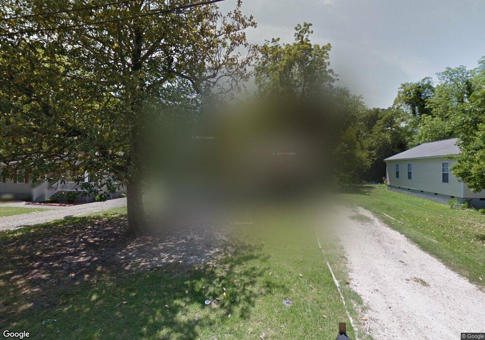
512 S Dargan St Darlington, SC 29532
Estimated Value: $98,000 - $130,000
--
Bed
--
Bath
1,148
Sq Ft
$95/Sq Ft
Est. Value
About This Home
This home is located at 512 S Dargan St, Darlington, SC 29532 and is currently estimated at $108,988, approximately $94 per square foot. 512 S Dargan St is a home with nearby schools including Pate Elementary School, Brockington Elementary Magnet School, and Darlington Middle School.
Ownership History
Date
Name
Owned For
Owner Type
Purchase Details
Closed on
Dec 16, 2009
Sold by
Darlington County Habitat For Humanity
Bought by
Muldrow Walterlisa K
Current Estimated Value
Home Financials for this Owner
Home Financials are based on the most recent Mortgage that was taken out on this home.
Original Mortgage
$67,200
Outstanding Balance
$20,109
Interest Rate
4.82%
Mortgage Type
Purchase Money Mortgage
Estimated Equity
$88,879
Purchase Details
Closed on
Feb 25, 2009
Sold by
Habitat For Humanity Inc
Bought by
Habitat For Humanity Inc
Create a Home Valuation Report for This Property
The Home Valuation Report is an in-depth analysis detailing your home's value as well as a comparison with similar homes in the area
Home Values in the Area
Average Home Value in this Area
Purchase History
| Date | Buyer | Sale Price | Title Company |
|---|---|---|---|
| Muldrow Walterlisa K | $67,200 | -- | |
| Habitat For Humanity Inc | -- | -- |
Source: Public Records
Mortgage History
| Date | Status | Borrower | Loan Amount |
|---|---|---|---|
| Open | Muldrow Walterlisa K | $67,200 |
Source: Public Records
Tax History Compared to Growth
Tax History
| Year | Tax Paid | Tax Assessment Tax Assessment Total Assessment is a certain percentage of the fair market value that is determined by local assessors to be the total taxable value of land and additions on the property. | Land | Improvement |
|---|---|---|---|---|
| 2024 | $610 | $3,170 | $0 | $0 |
| 2023 | $723 | $2,890 | $0 | $0 |
| 2022 | $723 | $2,890 | $0 | $0 |
| 2021 | $723 | $2,890 | $0 | $0 |
| 2020 | $542 | $2,890 | $0 | $0 |
| 2019 | $556 | $2,890 | $0 | $0 |
| 2018 | $464 | $2,690 | $120 | $2,570 |
| 2017 | $425 | $2,690 | $120 | $2,570 |
| 2016 | $399 | $2,690 | $120 | $2,570 |
| 2014 | $420 | $2,690 | $120 | $2,570 |
| 2013 | $62 | $2,690 | $120 | $2,570 |
Source: Public Records
Map
Nearby Homes
- 406 Pine St
- 208 Grove St
- 116 Reid St
- 109 Reid St
- 1977 E Paces Trail
- 1983 E Paces Trail
- 1970 E Paces Trail
- 5183 Shallowford Rd
- 5189 Shallowford Rd
- 5177 Shallowford Rd
- TBD 1st St
- 111 Columbian St
- TBD First & Ave H
- 116 Cleveland St
- 121 Bacote St
- 113 Cleveland St
- 215 S Ervin St
- 119 Spring St
- 106 Lincoln Blvd
- 2303 N Governors Hwy