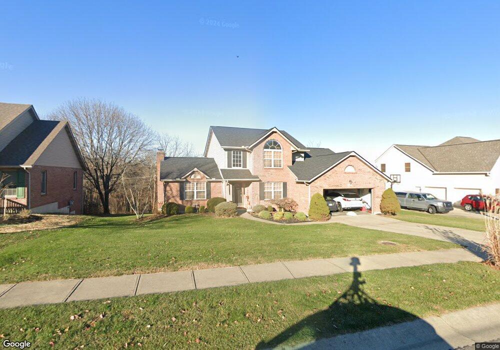
512 Saint Thomas Ct Fairfield, OH 45014
Estimated Value: $426,297 - $472,000
About This Home
This home is located at 512 Saint Thomas Ct, Fairfield, OH 45014 and is currently estimated at $447,574, approximately $176 per square foot. 512 Saint Thomas Ct is a home located in Butler County with nearby schools including Fairfield West Elementary School, Creekside Middle School, and Fairfield Senior High School.
Ownership History
We collect this data history from publicly available records. To have your information removed, we recommend requesting removal directly through your county’s website.
Purchase Details
Home Financials for this Owner
Home Financials are based on the most recent Mortgage that was taken out on this home.Home Values in the Area
Average Home Value in this Area
Purchase History
We collect this data history from publicly available records. To have your information removed, we recommend requesting removal directly through your county’s website.
| Date | Buyer | Sale Price | Title Company |
|---|---|---|---|
| $202,305 | -- |
Mortgage History
We collect this data history from publicly available records. To have your information removed, we recommend requesting removal directly through your county’s website.
| Date | Status | Borrower | Loan Amount |
|---|---|---|---|
| Closed | $160,000 |
Tax History
We collect this data history from publicly available records. To have your information removed, we recommend requesting removal directly through your county’s website.
| Year | Tax Paid | Tax Assessment Tax Assessment Total Assessment is a certain percentage of the fair market value that is determined by local assessors to be the total taxable value of land and additions on the property. | Land | Improvement |
|---|---|---|---|---|
| 2025 | $3,487 | $123,350 | $15,070 | $108,280 |
| 2024 | $3,487 | $123,350 | $15,070 | $108,280 |
| 2023 | $4,521 | $126,600 | $15,070 | $111,530 |
| 2022 | $4,224 | $88,400 | $15,070 | $73,330 |
| 2021 | $3,647 | $86,960 | $15,070 | $71,890 |
| 2020 | $3,793 | $86,960 | $15,070 | $71,890 |
| 2019 | $6,172 | $71,490 | $16,180 | $55,310 |
| 2018 | $3,543 | $71,490 | $16,180 | $55,310 |
| 2017 | $3,578 | $71,490 | $16,180 | $55,310 |
| 2016 | $3,424 | $65,130 | $16,180 | $48,950 |
| 2015 | $3,260 | $65,130 | $16,180 | $48,950 |
| 2014 | $3,629 | $65,130 | $16,180 | $48,950 |
| 2013 | $3,629 | $73,990 | $19,550 | $54,440 |
Map
- 870 Abbot Dr
- 325 Gregorian Dr
- 5752 Lake Superior Dr
- 5720 Lake Huron Dr
- 3169 John Gray Rd
- 11961 Stonequarry Ct
- 11965 Stone Mill Rd
- 1 Stone Mill Rd
- 0 Stone Mill Rd Unit 1866794
- 2961 Spruceway Dr
- 4381 Rita Mae Dr
- 12013 Westland Ct
- 11911 Abbeytown Dr
- 2713 John Gray Rd
- 5906 Red Oak Dr
- 5223 Chateau Way
- 11992 Pippin Rd
- 5794 River Rd
- 13 Carousel Cir
- 42 Carousel Cir
- 520 Saint Thomas Ct
- 504 Saint Thomas Ct
- 528 St Thomas Ct
- 528 Saint Thomas Ct
- 496 Saint Thomas Ct
- 515 Saint Thomas Ct
- 800 Abbot Dr
- 523 Saint Thomas Ct
- 536 Saint Thomas Ct
- 488 St Thomas Ct
- 488 Saint Thomas Ct
- 475 Saint Thomas Ct
- 815 Abbot Dr
- 531 Saint Thomas Ct
- 544 Saint Thomas Ct
- 810 Abbot Dr
- 480 Saint Thomas Ct
- 467 Saint Thomas Ct
- 539 Saint Thomas Ct
- 820 Abbot Dr
Ask me questions while you tour the home.