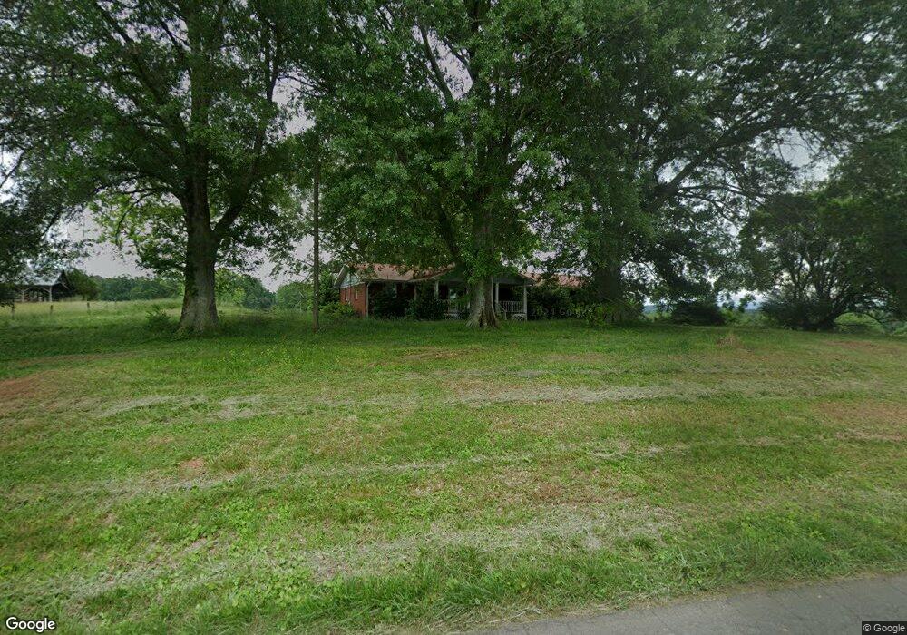
512 Sam Hunt Rd SE Fairmount, GA 30139
Estimated Value: $641,000 - $3,136,000
3
Beds
2
Baths
2,527
Sq Ft
$903/Sq Ft
Est. Value
About This Home
This home is located at 512 Sam Hunt Rd SE, Fairmount, GA 30139 and is currently estimated at $2,282,129, approximately $903 per square foot. 512 Sam Hunt Rd SE is a home located in Gordon County with nearby schools including Fairmount Elementary School, Red Bud Middle School, and Sonoraville High School.
Ownership History
Date
Name
Owned For
Owner Type
Purchase Details
Closed on
Jan 7, 2005
Sold by
Hand Lamar
Bought by
Vaughan David N
Current Estimated Value
Purchase Details
Closed on
Jul 18, 1994
Bought by
Vaughan David N
Purchase Details
Closed on
Sep 24, 1993
Bought by
Hand Lamar and Hand Lois
Purchase Details
Closed on
Mar 2, 1993
Bought by
First Alliance Bank
Purchase Details
Closed on
Jun 19, 1992
Bought by
Vaughan David N 111
Purchase Details
Closed on
Dec 30, 1988
Bought by
Vaughan David N
Create a Home Valuation Report for This Property
The Home Valuation Report is an in-depth analysis detailing your home's value as well as a comparison with similar homes in the area
Home Values in the Area
Average Home Value in this Area
Purchase History
| Date | Buyer | Sale Price | Title Company |
|---|---|---|---|
| Vaughan David N | $1,400,000 | -- | |
| Vaughan David N | -- | -- | |
| Hand Lamar | $375,000 | -- | |
| First Alliance Bank | $260,000 | -- | |
| Vaughan David N 111 | -- | -- | |
| Vaughan David N | -- | -- |
Source: Public Records
Tax History
| Year | Tax Paid | Tax Assessment Tax Assessment Total Assessment is a certain percentage of the fair market value that is determined by local assessors to be the total taxable value of land and additions on the property. | Land | Improvement |
|---|---|---|---|---|
| 2025 | $21,786 | $1,063,580 | $799,000 | $264,580 |
| 2023 | $20,453 | $1,021,280 | $799,000 | $222,280 |
| 2022 | $20,974 | $1,009,348 | $799,000 | $210,348 |
| 2021 | $20,179 | $969,364 | $799,000 | $170,364 |
| 2020 | $20,212 | $970,332 | $799,000 | $171,332 |
| 2019 | $19,885 | $970,572 | $799,000 | $171,572 |
Source: Public Records
Map
Nearby Homes
- Paved Road Frontage
- 1185 Shirley Rd SE
- Tract 30 Gillespie Rd SE
- Tract 30 Deerfield Estates
- Tract 30 Gillespie Rd SE
- 0 Cagle Rd SE Unit 10686487
- 0 Possum Hollow Rd SE
- 00 Cagle Rd SE
- 111 + - Acres Off Slate Mine Rd
- 217 North Ave
- 2622 Highway 411 SE
- 172 Jasper St
- 186 Calhoun St
- 225 Jasper St
- 45 + - Acres On Rambling Rd
- 0 Shirley Rd SE Unit 9616-A
- 206 Tennessee St
- 0 Ryo Mountain Rd SE Unit 9609
- 157 Pinto Ln
- 292 Shirley Rd SE
- 359 Sam Hunt Rd SE
- 346 Sam Hunt Rd SE
- 345 Sam Hunt Rd SE
- 173 Sam Hunt Rd SE
- 203 Oak Cir SE
- 901 Sam Hunt Rd SE
- 917 Sam Hunt Rd SE
- 133 Sam Hunt Rd SE
- 963 Sam Hunt Rd SE
- 173 Pinhook Rd SE
- 205 Oak Cir SE
- 411 Pinhook Rd SE
- 615 Pinhook Rd SE
- 3487 Covington Bridge Rd SE
- 565 Pinhook Rd SE
- 0 Mauldin Rd SE Unit 9614-F 20064635
- 0 Mauldin Rd SE Unit 9614-H 20064624
- 0 Mauldin Rd SE Unit 9614-E 20064621
- 0 Mauldin Rd SE Unit 9614-K 20064632
- 0 Mauldin Rd SE Unit 9614-G 20064623
Your Personal Tour Guide
Ask me questions while you tour the home.