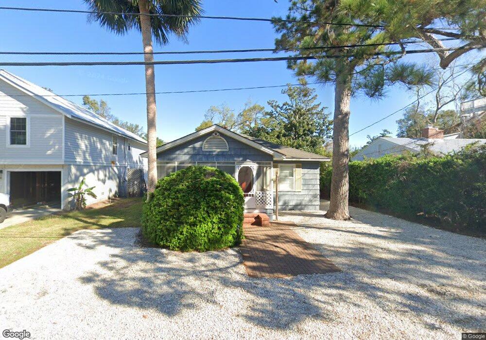
512 Seabreeze Dr Saint Simons Island, GA 31522
Estimated Value: $729,487 - $942,000
3
Beds
1
Bath
1,160
Sq Ft
$691/Sq Ft
Est. Value
About This Home
This home is located at 512 Seabreeze Dr, Saint Simons Island, GA 31522 and is currently estimated at $801,872, approximately $691 per square foot. 512 Seabreeze Dr is a home located in Glynn County with nearby schools including St. Simons Elementary School, Glynn Middle School, and Glynn Academy.
Ownership History
Date
Name
Owned For
Owner Type
Purchase Details
Closed on
Apr 29, 2013
Sold by
Ingram Emily T
Bought by
Tisdale Don M and Tisdale Barbara A
Current Estimated Value
Home Financials for this Owner
Home Financials are based on the most recent Mortgage that was taken out on this home.
Original Mortgage
$246,500
Outstanding Balance
$174,938
Interest Rate
3.59%
Mortgage Type
New Conventional
Estimated Equity
$626,934
Create a Home Valuation Report for This Property
The Home Valuation Report is an in-depth analysis detailing your home's value as well as a comparison with similar homes in the area
Home Values in the Area
Average Home Value in this Area
Purchase History
| Date | Buyer | Sale Price | Title Company |
|---|---|---|---|
| Tisdale Don M | $290,000 | -- |
Source: Public Records
Mortgage History
| Date | Status | Borrower | Loan Amount |
|---|---|---|---|
| Open | Tisdale Don M | $246,500 |
Source: Public Records
Tax History Compared to Growth
Tax History
| Year | Tax Paid | Tax Assessment Tax Assessment Total Assessment is a certain percentage of the fair market value that is determined by local assessors to be the total taxable value of land and additions on the property. | Land | Improvement |
|---|---|---|---|---|
| 2025 | $7,025 | $280,120 | $176,000 | $104,120 |
| 2024 | $5,225 | $208,360 | $138,600 | $69,760 |
| 2023 | $5,245 | $208,360 | $138,600 | $69,760 |
| 2022 | $4,922 | $191,280 | $138,600 | $52,680 |
| 2021 | $3,583 | $133,720 | $88,000 | $45,720 |
| 2020 | $3,616 | $133,720 | $88,000 | $45,720 |
| 2019 | $3,616 | $133,720 | $88,000 | $45,720 |
| 2018 | $3,306 | $121,840 | $79,200 | $42,640 |
| 2017 | $3,306 | $121,840 | $79,200 | $42,640 |
| 2016 | $2,830 | $112,720 | $79,200 | $33,520 |
| 2015 | $2,842 | $112,720 | $79,200 | $33,520 |
| 2014 | $2,842 | $112,720 | $79,200 | $33,520 |
Source: Public Records
Map
Nearby Homes
- 1104 Sherman Ave
- 1055 College St
- 405 Everett St
- 1153 Ocean Blvd
- 1035 Beachview Dr Unit 19
- 1035 Beachview Dr Unit 201
- 1145 Park Ln
- 1028 Beachview Dr Unit 5
- 1028 Beachview Dr Unit 2
- 1017 Ocean View Ave
- 908 Ocean Blvd
- 907 Beachview Dr
- 322 5th St
- 105 Seaside Cir
- 115 Seaside Cir
- 1106 George Lotson Ave
- 201 Neptune Rd Unit 255
- 201 Neptune Rd Unit 157
- 201 Neptune Rd Unit 258
- 200 Salt Air Dr Unit 152
- 504 Seabreeze Dr
- 514 Seabreeze Dr
- Lot 5 Seabreeze Dr
- Lot 4 Seabreeze Dr
- 509 Beach Dr
- 1075 College St
- 513 Beach Dr
- 549 Beach Dr Unit 5
- 1061 Oceanview Dr
- 505 Beach Dr
- 1070 Sherman
- 1067 College St
- 1061 College St
- 518 Sea Breeze Dr
- 517 Beach Dr
- 501 Beach Dr
- 1057 Oceanview Dr
- 505 Seabreeze Dr
- 515 Seabreeze Dr
- 521 Beach Dr