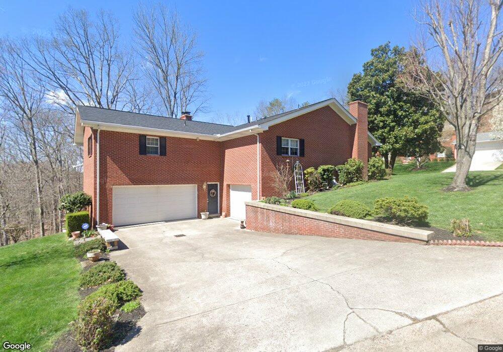
512 Sheridan Cir Charleston, WV 25314
South Hills NeighborhoodEstimated Value: $302,758 - $328,000
3
Beds
3
Baths
2,336
Sq Ft
$135/Sq Ft
Est. Value
About This Home
This home is located at 512 Sheridan Cir, Charleston, WV 25314 and is currently estimated at $316,190, approximately $135 per square foot. 512 Sheridan Cir is a home located in Kanawha County with nearby schools including Weberwood Elementary School, John Adams Middle School, and George Washington High School.
Ownership History
Date
Name
Owned For
Owner Type
Purchase Details
Closed on
Mar 31, 2000
Sold by
Casdorph Paul
Bought by
Shultz William
Current Estimated Value
Home Financials for this Owner
Home Financials are based on the most recent Mortgage that was taken out on this home.
Original Mortgage
$160,000
Outstanding Balance
$55,485
Interest Rate
8.4%
Mortgage Type
Purchase Money Mortgage
Estimated Equity
$260,705
Create a Home Valuation Report for This Property
The Home Valuation Report is an in-depth analysis detailing your home's value as well as a comparison with similar homes in the area
Home Values in the Area
Average Home Value in this Area
Purchase History
| Date | Buyer | Sale Price | Title Company |
|---|---|---|---|
| Shultz William | $220,000 | -- |
Source: Public Records
Mortgage History
| Date | Status | Borrower | Loan Amount |
|---|---|---|---|
| Open | Shultz William | $160,000 |
Source: Public Records
Tax History Compared to Growth
Tax History
| Year | Tax Paid | Tax Assessment Tax Assessment Total Assessment is a certain percentage of the fair market value that is determined by local assessors to be the total taxable value of land and additions on the property. | Land | Improvement |
|---|---|---|---|---|
| 2024 | $1,867 | $137,400 | $26,220 | $111,180 |
| 2023 | $1,798 | $131,760 | $26,220 | $105,540 |
| 2022 | $1,819 | $133,080 | $26,220 | $106,860 |
| 2021 | $1,675 | $124,500 | $26,220 | $98,280 |
| 2020 | $1,679 | $125,700 | $26,220 | $99,480 |
| 2019 | $1,985 | $125,700 | $26,220 | $99,480 |
| 2018 | $1,854 | $129,840 | $26,220 | $103,620 |
| 2017 | $1,860 | $131,100 | $26,220 | $104,880 |
| 2016 | $1,849 | $131,100 | $26,220 | $104,880 |
| 2015 | $1,852 | $132,360 | $26,220 | $106,140 |
| 2014 | $1,797 | $130,800 | $26,220 | $104,580 |
Source: Public Records
Map
Nearby Homes
- 416 Sheridan Cir
- 311 Mckinley Ave
- 328 Mckinley Ave
- 207 Mckinley Ave
- 606 Fort Hill Dr
- 710 & 708 Daverton Rd
- 617 Churchill Dr
- 619 Churchill Dr
- 901 Evanwood Rd
- 723 Churchill Dr
- 0 Suncrest Place
- 1507 Rockford Ct
- 112 Park Dr
- 502 Kanawha Blvd W
- 202 Kanawha Blvd W
- 0 Suncrest Rd
- 611 Grant St
- 615 Grant St
- 836 Walters Rd
- 1413 Mountain Rd
- 508 Sheridan Cir
- 2 Jasmine Ln
- 5 Jasmine Ln
- 3 Jasmine Ln
- 509 Sheridan Cir
- 4 Jasmine Ln
- 506 Sheridan Cir
- 513 Sheridan Cir
- 501 Sheridan Cir
- 501 Sheridan Cir
- 501 Sheridan Cir
- 501 Sheridan Cir
- 501 Sheridan Cir
- 501 Sheridan Cir
- 526 Sheridan Cir
- 517 Sheridan Cir
- 500 Sheridan Cir
- 515 Fort Hill Dr
- 2 Fort Circle Dr
- 521 Sheridan Cir