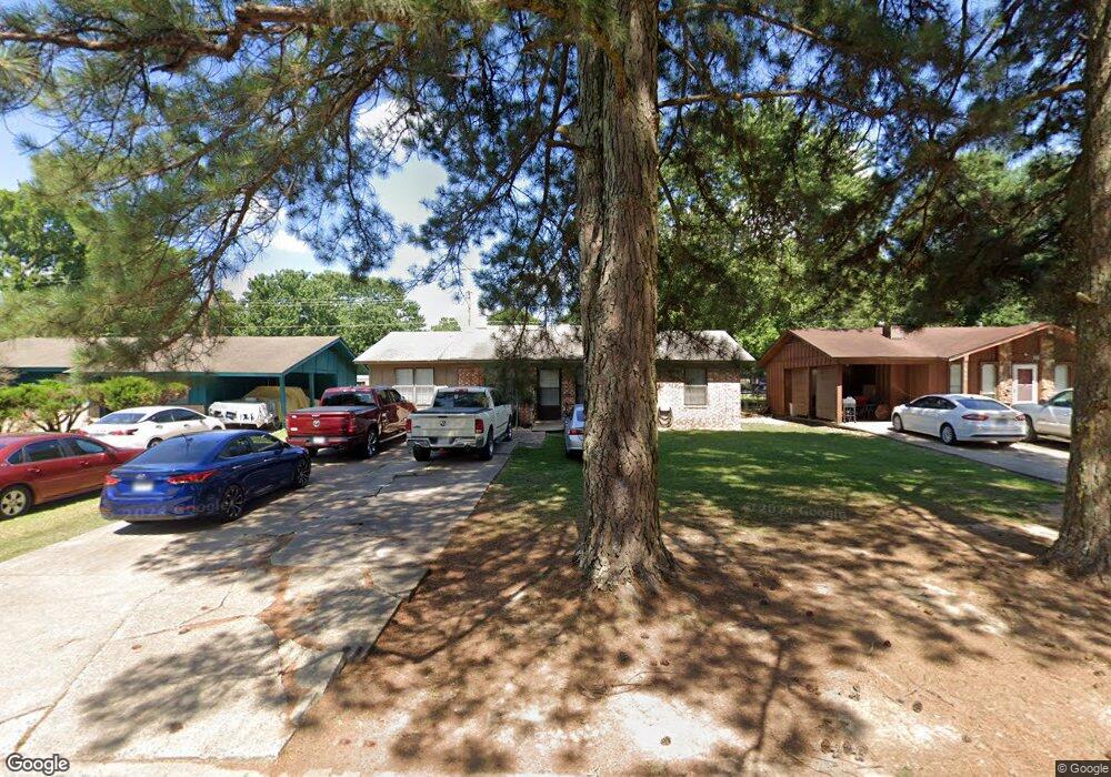
512 Stevenson St Jacksonville, AR 72076
Estimated Value: $127,421 - $167,000
--
Bed
1
Bath
1,696
Sq Ft
$84/Sq Ft
Est. Value
About This Home
This home is located at 512 Stevenson St, Jacksonville, AR 72076 and is currently estimated at $142,105, approximately $83 per square foot. 512 Stevenson St is a home located in Pulaski County with nearby schools including Jacksonville Elementary School, Jacksonville Middle School, and Jacksonville High School.
Ownership History
Date
Name
Owned For
Owner Type
Purchase Details
Closed on
Sep 19, 2005
Sold by
Burk Terry Lee and Burk Le Thi
Bought by
Huskey Susan M
Current Estimated Value
Home Financials for this Owner
Home Financials are based on the most recent Mortgage that was taken out on this home.
Original Mortgage
$50,000
Outstanding Balance
$26,801
Interest Rate
5.88%
Mortgage Type
Fannie Mae Freddie Mac
Estimated Equity
$115,304
Create a Home Valuation Report for This Property
The Home Valuation Report is an in-depth analysis detailing your home's value as well as a comparison with similar homes in the area
Home Values in the Area
Average Home Value in this Area
Purchase History
| Date | Buyer | Sale Price | Title Company |
|---|---|---|---|
| Huskey Susan M | $50,000 | Transcontinental Title Co |
Source: Public Records
Mortgage History
| Date | Status | Borrower | Loan Amount |
|---|---|---|---|
| Open | Huskey Susan M | $50,000 |
Source: Public Records
Tax History Compared to Growth
Tax History
| Year | Tax Paid | Tax Assessment Tax Assessment Total Assessment is a certain percentage of the fair market value that is determined by local assessors to be the total taxable value of land and additions on the property. | Land | Improvement |
|---|---|---|---|---|
| 2025 | $1,044 | $20,643 | $1,000 | $19,643 |
| 2024 | $839 | $20,643 | $1,000 | $19,643 |
| 2023 | $839 | $20,643 | $1,000 | $19,643 |
| 2022 | $914 | $20,643 | $1,000 | $19,643 |
| 2021 | $870 | $14,170 | $1,400 | $12,770 |
| 2020 | $495 | $14,170 | $1,400 | $12,770 |
| 2019 | $495 | $14,170 | $1,400 | $12,770 |
| 2018 | $520 | $14,170 | $1,400 | $12,770 |
| 2017 | $520 | $14,170 | $1,400 | $12,770 |
| 2016 | $604 | $15,530 | $2,900 | $12,630 |
| 2015 | $829 | $15,530 | $2,900 | $12,630 |
| 2014 | $829 | $15,406 | $2,900 | $12,506 |
Source: Public Records
Map
Nearby Homes
- 1235 Wright St
- 1401 Tamara Park
- 1110 Wright St
- 26 Wright Cir
- 720 Southeastern Ave
- 600 Sorrells Dr
- 1302 King St
- 221 Pearl St
- 32 Ross Cir
- 419 Church St
- 0 S J P Wright Loop Rd
- 910 Ray Rd
- 114 North Ave
- 202 Spruce St
- 134 Pike Ave
- 203 Northeastern Ave
- 203 Boston St
- 109 Galloway Cir
- 111 Joiner Ave
- 127 Wilson St
- 508 Stevenson St
- 600 Stevenson St
- 504 Stevenson St
- 604 Stevenson St
- 609 Captain St
- 605 Captain St
- 608 Stevenson St
- 500 Stevenson St
- 613 Captain St
- 601 Captain St
- 511 Shirley Cove
- 617 Captain St
- 612 Stevenson St
- 0 Stevenson Rd
- 412 Stevenson St
- 0 Shirley Cove
- 501 Stevenson St
- 621 Captain St
- 603 Stevenson St
- 408 Stevenson St