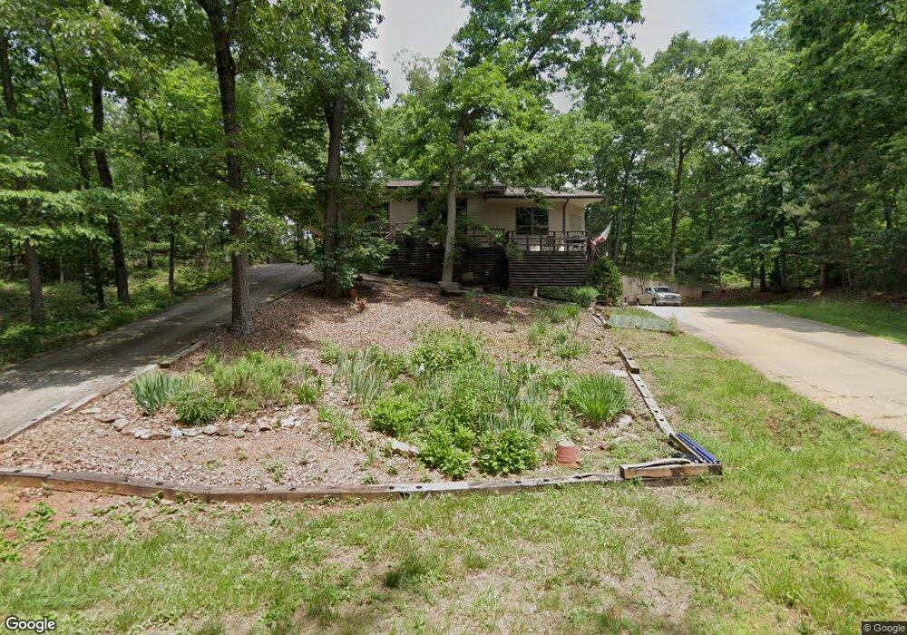
512 Waco Way Seneca, SC 29678
Estimated Value: $376,343 - $491,000
3
Beds
3
Baths
2,481
Sq Ft
$180/Sq Ft
Est. Value
About This Home
This home is located at 512 Waco Way, Seneca, SC 29678 and is currently estimated at $446,336, approximately $179 per square foot. 512 Waco Way is a home located in Oconee County with nearby schools including Ravenel Elementary School, Seneca Middle School, and Seneca High School.
Ownership History
Date
Name
Owned For
Owner Type
Purchase Details
Closed on
Apr 28, 2014
Sold by
Barnhill Eric J and Barnhill Donna W
Bought by
Barnhill Donna W and Donna W Barnhill Revocable Trust
Current Estimated Value
Purchase Details
Closed on
Jan 16, 2009
Sold by
Reider Jerry E
Bought by
Barnhill Eric J and Barnhill Donna W
Home Financials for this Owner
Home Financials are based on the most recent Mortgage that was taken out on this home.
Original Mortgage
$185,000
Outstanding Balance
$117,310
Interest Rate
5.24%
Mortgage Type
New Conventional
Estimated Equity
$329,026
Create a Home Valuation Report for This Property
The Home Valuation Report is an in-depth analysis detailing your home's value as well as a comparison with similar homes in the area
Home Values in the Area
Average Home Value in this Area
Purchase History
| Date | Buyer | Sale Price | Title Company |
|---|---|---|---|
| Barnhill Donna W | -- | -- | |
| Barnhill Eric J | $231,250 | -- |
Source: Public Records
Mortgage History
| Date | Status | Borrower | Loan Amount |
|---|---|---|---|
| Open | Barnhill Eric J | $185,000 |
Source: Public Records
Tax History Compared to Growth
Tax History
| Year | Tax Paid | Tax Assessment Tax Assessment Total Assessment is a certain percentage of the fair market value that is determined by local assessors to be the total taxable value of land and additions on the property. | Land | Improvement |
|---|---|---|---|---|
| 2024 | $3,383 | $10,496 | $738 | $9,758 |
| 2023 | $3,383 | $10,496 | $738 | $9,758 |
| 2022 | $3,430 | $10,496 | $738 | $9,758 |
| 2021 | $3,034 | $10,010 | $738 | $9,272 |
| 2020 | $3,422 | $0 | $0 | $0 |
| 2019 | $3,422 | $0 | $0 | $0 |
| 2018 | $3,333 | $0 | $0 | $0 |
| 2017 | $3,034 | $0 | $0 | $0 |
| 2016 | $3,034 | $0 | $0 | $0 |
| 2015 | -- | $0 | $0 | $0 |
| 2014 | -- | $9,408 | $1,385 | $8,024 |
| 2013 | -- | $0 | $0 | $0 |
Source: Public Records
Map
Nearby Homes
- 117 Wells Station Rd
- 00 Old Hamilton Rd
- 107 Meadow Dr
- 101 Meadowood Dr
- 110 Meadow Dr
- 106 Jason Dr
- 303 Meadow Dr
- 405 Keith Ln
- 00 Owens Rd
- 42 Sirrine St
- 502 Keith Ln
- 217 N Stonegate Dr
- 21 Lonsdale St
- 610 Doctor Mitchell Rd
- 256 Terrace View Way
- 9 Humbert St
- 512 Broad Creek Ct
- 1006 Kaye St
- 307 Zion Hill Rd
- 1115 Davis Mill Rd
- 302 Blue Sky Blvd
- 401 Rudder Ridge
- 150 Pattersons Hill Ln
- 588 Patterson Rd
- 400 Rudder Ridge
- 178 Old Hamilton Dr
- 108 Wells Station Rd
- 112 Wells Station Rd
- 124 Marcus Way
- 133 Wells Station Rd
- 116 Wells Station Rd
- 120 Wells Station Rd
- 124 Wells Station Rd
- 578 Patterson Rd
- 128 Wells Station Rd
- 230 Poss Ln
- 125 Wells Station Rd
- 217 Whispering Stick Way
- 132 Wells Station Rd
- 129 Wells Station Rd