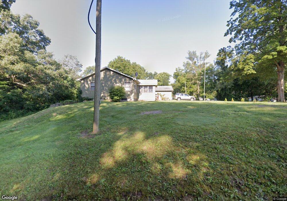
512 Walnut St Dowagiac, MI 49047
Estimated Value: $76,000 - $163,000
3
Beds
1
Bath
1,100
Sq Ft
$120/Sq Ft
Est. Value
About This Home
This home is located at 512 Walnut St, Dowagiac, MI 49047 and is currently estimated at $132,190, approximately $120 per square foot. 512 Walnut St is a home located in Cass County with nearby schools including Patrick Hamilton Elementary School, Dowagiac Middle School, and Union High School.
Ownership History
Date
Name
Owned For
Owner Type
Purchase Details
Closed on
Apr 30, 2007
Sold by
Hud
Bought by
Bacon Richie
Current Estimated Value
Home Financials for this Owner
Home Financials are based on the most recent Mortgage that was taken out on this home.
Original Mortgage
$25,800
Outstanding Balance
$15,779
Interest Rate
6.27%
Mortgage Type
Purchase Money Mortgage
Estimated Equity
$116,411
Purchase Details
Closed on
Jun 15, 2006
Sold by
Mortgage Electronic Registration Systems
Bought by
The Secretary Of Housing & Urban Develop
Purchase Details
Closed on
Aug 26, 2004
Sold by
Singer Frederic Arthur and Singer Winona
Bought by
Cleary Larry
Home Financials for this Owner
Home Financials are based on the most recent Mortgage that was taken out on this home.
Original Mortgage
$61,001
Interest Rate
6.17%
Mortgage Type
FHA
Create a Home Valuation Report for This Property
The Home Valuation Report is an in-depth analysis detailing your home's value as well as a comparison with similar homes in the area
Home Values in the Area
Average Home Value in this Area
Purchase History
| Date | Buyer | Sale Price | Title Company |
|---|---|---|---|
| Bacon Richie | $25,800 | None Available | |
| The Secretary Of Housing & Urban Develop | -- | None Available | |
| Cleary Larry | $62,000 | Meridian Title Corp |
Source: Public Records
Mortgage History
| Date | Status | Borrower | Loan Amount |
|---|---|---|---|
| Open | Bacon Richie | $25,800 | |
| Previous Owner | Cleary Larry | $61,001 |
Source: Public Records
Tax History
| Year | Tax Paid | Tax Assessment Tax Assessment Total Assessment is a certain percentage of the fair market value that is determined by local assessors to be the total taxable value of land and additions on the property. | Land | Improvement |
|---|---|---|---|---|
| 2025 | $1,178 | $57,600 | $57,600 | $0 |
| 2024 | $813 | $55,000 | $55,000 | $0 |
| 2023 | $748 | $46,700 | $0 | $0 |
| 2022 | $711 | $41,100 | $0 | $0 |
| 2021 | $1,030 | $36,800 | $0 | $0 |
| 2020 | $1,028 | $30,900 | $0 | $0 |
| 2019 | $1,000 | $29,800 | $0 | $0 |
| 2018 | $652 | $28,000 | $0 | $0 |
| 2017 | $639 | $28,100 | $0 | $0 |
| 2016 | $628 | $26,900 | $0 | $0 |
| 2015 | -- | $29,000 | $0 | $0 |
| 2011 | -- | $22,900 | $0 | $0 |
Source: Public Records
Map
Nearby Homes
- 400 S Lowe St
- 527 Main St
- 307 New York Ave
- 217 Andrew St
- 29131 M 62 W
- 303 Orchard St
- 105 W Telegraph St
- 106 Lagrange St
- 210 McOmber St
- 316 E Division St
- 315 McOmber St
- 105 Lester Ave
- 102 N Mill St
- VL N M 51
- 101 Haines St
- 29460 Michigan 62
- 409 W Railroad St
- 307 E Telegraph St
- 29413 Saddlebred Ln
- 208 E Prairie Ronde St
Your Personal Tour Guide
Ask me questions while you tour the home.