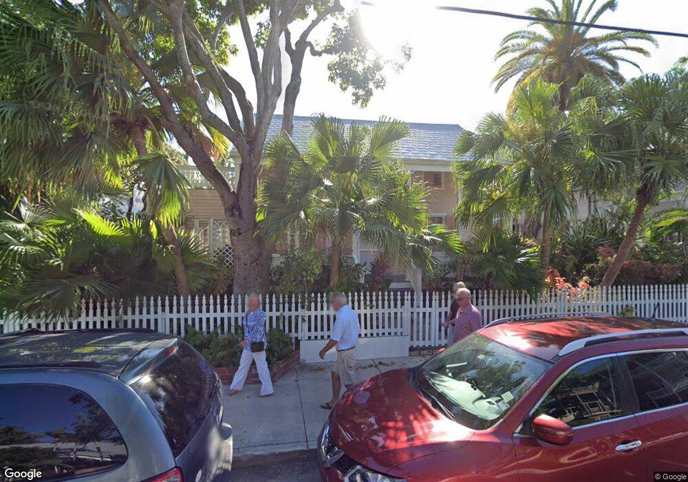
512 William St Key West, FL 33040
Old Town NeighborhoodEstimated Value: $1,678,930 - $2,680,000
2
Beds
1
Bath
1,794
Sq Ft
$1,170/Sq Ft
Est. Value
About This Home
This home is located at 512 William St, Key West, FL 33040 and is currently estimated at $2,099,483, approximately $1,170 per square foot. 512 William St is a home located in Monroe County with nearby schools including Gerald Adams Elementary School, Key West High School, and May Sands Montessori School.
Ownership History
Date
Name
Owned For
Owner Type
Purchase Details
Closed on
May 23, 2014
Sold by
Mesker David W and Vance Elizabeth M
Bought by
512 William Street Llc
Current Estimated Value
Purchase Details
Closed on
Mar 18, 2010
Sold by
Mesker Susan P
Bought by
Mesker Susan P and Mesker David W
Purchase Details
Closed on
Feb 1, 1976
Bought by
512 William Street Llc
Create a Home Valuation Report for This Property
The Home Valuation Report is an in-depth analysis detailing your home's value as well as a comparison with similar homes in the area
Home Values in the Area
Average Home Value in this Area
Purchase History
We collect this data history from publicly available records. To have your information removed, we recommend requesting removal directly through your county’s website.
| Date | Buyer | Sale Price | Title Company |
|---|---|---|---|
| 512 William Street Llc | $279,972 | None Available | |
| Mesker Susan P | -- | Attorney | |
| 512 William Street Llc | $30,000 | -- |
Source: Public Records
Tax History
| Year | Tax Paid | Tax Assessment Tax Assessment Total Assessment is a certain percentage of the fair market value that is determined by local assessors to be the total taxable value of land and additions on the property. | Land | Improvement |
|---|---|---|---|---|
| 2025 | $11,393 | $1,643,587 | $1,346,030 | $297,557 |
| 2024 | $10,329 | $1,637,029 | $1,339,464 | $297,565 |
| 2023 | $10,329 | $1,416,671 | $1,122,786 | $293,885 |
| 2022 | $8,983 | $1,170,961 | $869,995 | $300,966 |
| 2021 | $8,054 | $870,844 | $643,468 | $227,376 |
| 2020 | $8,013 | $869,163 | $638,544 | $230,619 |
| 2019 | $8,323 | $896,767 | $666,148 | $230,619 |
| 2018 | $7,886 | $829,688 | $592,582 | $237,106 |
| 2017 | $7,686 | $832,930 | $0 | $0 |
| 2016 | $7,347 | $738,952 | $0 | $0 |
| 2015 | -- | $636,607 | $0 | $0 |
| 2014 | -- | $607,990 | $0 | $0 |
Source: Public Records
Map
Nearby Homes
- 800 Fleming St Unit C1
- 800 Fleming St Unit B-3
- 828 Fleming St
- 408 William St
- 409 Margaret St Unit 202 / B
- 817 Eaton St Unit 1
- 723 Eaton St
- 906 Southard St
- 709 Eaton St
- 609 Margaret St
- 600 Elizabeth St
- 508 Grinnell St
- 617 Fleming St Unit 4
- 616 Eaton St
- 610 Griffin Ln
- 810 Carey Ln
- 419 Simonton St Unit C
- 419 Simonton St Unit A
- 912 James St Unit 2
- 1006 Fleming St
- 800 Fleming St Unit C1
- 800 Fleming St Unit 2C
- 800 Fleming St Unit 2B
- 800 Fleming St Unit 2A
- 800 Fleming St Unit C
- 800 Fleming St Unit B
- 800 Fleming St Unit 1A
- 800 Fleming St Unit 3C
- 800 Fleming St Unit 3B
- 800 Fleming St Unit 3A
- 800 Fleming St Unit C-2
- 800 Fleming St Unit A-1
- 800 Fleming St Unit B-2
- 800 Fleming St Unit 1B
- 800 Fleming St Unit A2
- 806 Fleming St
- 808 Fleming St
- 801 Fleming St
- 1 Pinder Ln
- 810 Fleming St
Your Personal Tour Guide
Ask me questions while you tour the home.