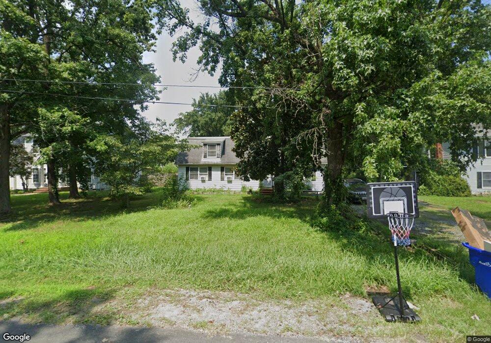
512 Zaidee Ln Stevensville, MD 21666
Estimated Value: $468,000 - $584,000
Studio
1
Bath
2,208
Sq Ft
$230/Sq Ft
Est. Value
About This Home
This home is located at 512 Zaidee Ln, Stevensville, MD 21666 and is currently estimated at $508,321, approximately $230 per square foot. 512 Zaidee Ln is a home located in Queen Anne's County with nearby schools including Matapeake Elementary School, Matapeake Middle School, and Kent Island High School.
Ownership History
Date
Name
Owned For
Owner Type
Purchase Details
Closed on
Jan 19, 2007
Sold by
Testerman Ronald D and Testerman Christine
Bought by
Testerman Christine and Testerman Kathryn M
Current Estimated Value
Purchase Details
Closed on
Dec 14, 2006
Sold by
Testerman Ronald D and Testerman Christine
Bought by
Testerman Christine and Testerman Kathryn M
Purchase Details
Closed on
Aug 4, 1997
Sold by
Shannon Stephen M
Bought by
Testerman Ronald D and Testerman Christine
Create a Home Valuation Report for This Property
The Home Valuation Report is an in-depth analysis detailing your home's value as well as a comparison with similar homes in the area
Home Values in the Area
Average Home Value in this Area
Purchase History
| Date | Buyer | Sale Price | Title Company |
|---|---|---|---|
| Testerman Christine | -- | -- | |
| Testerman Christine | -- | -- | |
| Testerman Ronald D | $129,900 | -- |
Source: Public Records
Mortgage History
| Date | Status | Borrower | Loan Amount |
|---|---|---|---|
| Closed | Testerman Ronald D | -- |
Source: Public Records
Tax History
| Year | Tax Paid | Tax Assessment Tax Assessment Total Assessment is a certain percentage of the fair market value that is determined by local assessors to be the total taxable value of land and additions on the property. | Land | Improvement |
|---|---|---|---|---|
| 2025 | $3,281 | $371,233 | $0 | $0 |
| 2024 | $3,112 | $342,167 | $0 | $0 |
| 2023 | $2,949 | $313,100 | $161,000 | $152,100 |
| 2022 | $2,923 | $310,267 | $0 | $0 |
| 2021 | $2,921 | $307,433 | $0 | $0 |
| 2020 | $2,921 | $304,600 | $161,000 | $143,600 |
| 2019 | $2,822 | $294,267 | $0 | $0 |
| 2018 | $2,723 | $283,933 | $0 | $0 |
| 2017 | $2,624 | $273,600 | $0 | $0 |
| 2016 | -- | $273,600 | $0 | $0 |
| 2015 | $1,087 | $273,600 | $0 | $0 |
| 2014 | $1,087 | $275,800 | $0 | $0 |
Source: Public Records
Map
Nearby Homes
- 802 Broadcreek Dr
- 415 Bay City Rd
- 410 Stafford Rd
- 306 Irene Way
- 526 Victoria Dr
- 121 Placek's Ln
- 101 Placek's Ln
- 109 Placek's Ln
- 120 Placek's Ln
- 1000 Chesapeake Dr
- 0 Sunset Wharf Lot D-3 Unit MDQA2010280
- 440 Moorings Cir
- 0 Sunset Wharf Lot D-1 Unit MDQA2010276
- 222 Topside Dr
- 614 Moorings Cir
- 222 Moorings Cir Unit 126
- 917 Moorings Cir Unit 131
- 644 Moorings Cir
- 822 Moorings Cir Unit 17
- 784 Moorings Cir
Your Personal Tour Guide
Ask me questions while you tour the home.