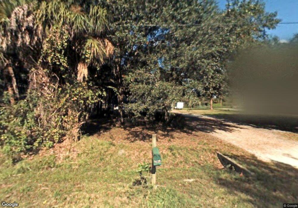
5120 Date Palm St Cocoa, FL 32927
Canaveral Groves NeighborhoodEstimated Value: $417,000 - $570,000
3
Beds
2
Baths
1,860
Sq Ft
$266/Sq Ft
Est. Value
About This Home
This home is located at 5120 Date Palm St, Cocoa, FL 32927 and is currently estimated at $495,350, approximately $266 per square foot. 5120 Date Palm St is a home located in Brevard County with nearby schools including Fairglen Elementary School and Cocoa High School.
Ownership History
Date
Name
Owned For
Owner Type
Purchase Details
Closed on
Nov 27, 1996
Sold by
Atchison Norman R and Atchison Kara
Bought by
Castro James E and Castro Vicki L
Current Estimated Value
Home Financials for this Owner
Home Financials are based on the most recent Mortgage that was taken out on this home.
Original Mortgage
$82,000
Outstanding Balance
$8,463
Interest Rate
7.87%
Estimated Equity
$486,887
Create a Home Valuation Report for This Property
The Home Valuation Report is an in-depth analysis detailing your home's value as well as a comparison with similar homes in the area
Home Values in the Area
Average Home Value in this Area
Purchase History
| Date | Buyer | Sale Price | Title Company |
|---|---|---|---|
| Castro James E | $107,000 | -- |
Source: Public Records
Mortgage History
| Date | Status | Borrower | Loan Amount |
|---|---|---|---|
| Open | Castro James E | $82,000 |
Source: Public Records
Tax History Compared to Growth
Tax History
| Year | Tax Paid | Tax Assessment Tax Assessment Total Assessment is a certain percentage of the fair market value that is determined by local assessors to be the total taxable value of land and additions on the property. | Land | Improvement |
|---|---|---|---|---|
| 2025 | $2,171 | $159,510 | -- | -- |
| 2024 | $2,129 | $155,020 | -- | -- |
| 2023 | $2,129 | $150,510 | $0 | $0 |
| 2022 | $1,994 | $146,130 | $0 | $0 |
| 2021 | $2,017 | $141,880 | $0 | $0 |
| 2020 | $1,948 | $139,930 | $0 | $0 |
| 2019 | $1,889 | $136,790 | $0 | $0 |
| 2018 | $1,888 | $134,240 | $0 | $0 |
| 2017 | $1,894 | $131,480 | $0 | $0 |
| 2016 | $1,911 | $128,780 | $50,000 | $78,780 |
| 2015 | $1,949 | $127,890 | $50,000 | $77,890 |
| 2014 | $1,956 | $126,880 | $50,000 | $76,880 |
Source: Public Records
Map
Nearby Homes
- 5495 Pine St
- 00000 No Access West of Date Palm St
- 000 Port Saint John Pkwy
- 0000 No Access West of Date Palm St
- 6180 Balboa St
- 5490 Cangro St
- 5940 Fisherman Ln
- 0 Cangro St
- 4725 Papaya St
- 5955 Keystone Ave
- 0 Golfview Ave
- 6070 Baltimore Ave
- 6118 Dees Rd
- 0 X Unit MFRC7515155
- 00000 Golfview Ave
- 6010 Fay Blvd
- 6198 Dees Rd
- 0 Port St John Pkwy Unit 1043150
- 6003 Gilson
- 0 Unknown St Unit 1060164
- 5080 Date Palm St
- 0 Date Palm St
- 5140 Date Palm St
- 5060 Date Palm St
- 5160 Date Palm St
- 5125 Date Palm St
- 5045 Date Palm St
- 5180 Date Palm St
- 5040 Date Palm St
- 5565 Fishtail Palm Ave
- 5560 Pine St
- 5020 Date Palm St
- 5545 Fishtail Palm Ave
- 5220 Date Palm St
- 5540 Pine St
- 5560 Fishtail Palm Ave
- 5595 Pine St
- 5520 Pine St
- 5540 Fishtail Palm Ave
- 5540 Fishtail Palm Ave
