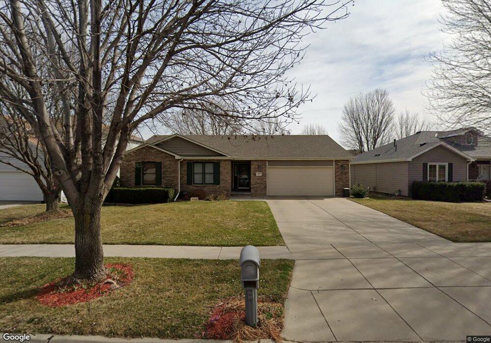
5120 N 20th St Lincoln, NE 68521
North Lincoln NeighborhoodEstimated Value: $320,000 - $392,000
3
Beds
2
Baths
1,410
Sq Ft
$252/Sq Ft
Est. Value
About This Home
This home is located at 5120 N 20th St, Lincoln, NE 68521 and is currently estimated at $354,830, approximately $251 per square foot. 5120 N 20th St is a home located in Lancaster County with nearby schools including Campbell Elementary School, Goodrich Middle School, and North Star High School.
Ownership History
Date
Name
Owned For
Owner Type
Purchase Details
Closed on
Jul 24, 1998
Sold by
Muehling Burton and Muehling Stacy R
Bought by
Loseke Todd J and Loseke Leeann K
Current Estimated Value
Home Financials for this Owner
Home Financials are based on the most recent Mortgage that was taken out on this home.
Original Mortgage
$119,600
Interest Rate
7.05%
Create a Home Valuation Report for This Property
The Home Valuation Report is an in-depth analysis detailing your home's value as well as a comparison with similar homes in the area
Home Values in the Area
Average Home Value in this Area
Purchase History
| Date | Buyer | Sale Price | Title Company |
|---|---|---|---|
| Loseke Todd J | $150,000 | -- |
Source: Public Records
Mortgage History
| Date | Status | Borrower | Loan Amount |
|---|---|---|---|
| Closed | Loseke Todd J | $119,600 |
Source: Public Records
Tax History Compared to Growth
Tax History
| Year | Tax Paid | Tax Assessment Tax Assessment Total Assessment is a certain percentage of the fair market value that is determined by local assessors to be the total taxable value of land and additions on the property. | Land | Improvement |
|---|---|---|---|---|
| 2025 | $4,363 | $362,100 | $93,600 | $268,500 |
| 2024 | $4,363 | $315,700 | $85,800 | $229,900 |
| 2023 | $5,293 | $315,800 | $78,700 | $237,100 |
| 2022 | $5,204 | $261,100 | $49,500 | $211,600 |
| 2021 | $4,923 | $261,100 | $49,500 | $211,600 |
| 2020 | $4,658 | $243,800 | $49,500 | $194,300 |
| 2019 | $4,659 | $243,800 | $49,500 | $194,300 |
| 2018 | $4,409 | $229,700 | $49,500 | $180,200 |
| 2017 | $4,450 | $229,700 | $49,500 | $180,200 |
| 2016 | $3,834 | $196,900 | $44,000 | $152,900 |
| 2015 | $3,808 | $196,900 | $44,000 | $152,900 |
| 2014 | $3,962 | $203,700 | $50,600 | $153,100 |
| 2013 | -- | $203,700 | $50,600 | $153,100 |
Source: Public Records
Map
Nearby Homes
- 1830 Meadow Lark Cir
- 5331 Mission Cir
- 4809 N 20th St
- 2232 Marigold Cir
- 2425 Folkways Blvd Unit 335
- 2425 Folkways Blvd Unit 220
- 2425 Folkways Blvd Unit 120
- 5053 N 25th St
- 1537 Hilltop Rd
- 5419 Cloudburst Ln
- 5428 Cloudburst Ln
- 2502 Hollyhock Cir Unit 2
- 4831 N 25th St
- 5430 Rockford Dr
- 2538 Hollyhock Cir Unit 7
- 5501 Rockford Dr
- 2010 Northville Cir
- 2240 Atwood Ln
- 5656 Enterprise Dr
- 2340 Atwood Cir
- 5110 N 20th St
- 5130 N 20th St
- 5200 N 20th St
- 2000 Indigo Ct
- 2020 Indigo Ct
- 5210 N 20th St
- 1921 Prairie Ln
- 1930 Indigo Rd
- 2050 Indigo Ct
- 1920 Prairie Ln
- 1911 Prairie Ln
- 5059 N 20th St
- 1920 Indigo Rd
- 2001 Indigo Ct
- 2011 Indigo Ct
- 2021 Indigo Ct
- 2031 Indigo Ct
- 2011 Philadelphia Dr
- 5230 N 20th St
- 1910 Prairie Ln