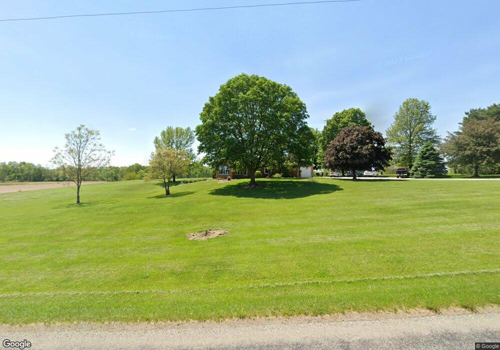
5120 N 500 W Thorntown, IN 46071
Estimated Value: $397,000 - $428,002
3
Beds
2
Baths
1,866
Sq Ft
$225/Sq Ft
Est. Value
About This Home
This home is located at 5120 N 500 W, Thorntown, IN 46071 and is currently estimated at $420,001, approximately $225 per square foot. 5120 N 500 W is a home located in Boone County with nearby schools including Western Boone Junior/Senior High School.
Ownership History
Date
Name
Owned For
Owner Type
Purchase Details
Closed on
Apr 20, 2021
Sold by
Mohler Paul
Bought by
Anderson Michael J and Anderson Krista J
Current Estimated Value
Home Financials for this Owner
Home Financials are based on the most recent Mortgage that was taken out on this home.
Original Mortgage
$252,000
Outstanding Balance
$227,708
Interest Rate
3.05%
Mortgage Type
New Conventional
Estimated Equity
$192,293
Purchase Details
Closed on
Aug 31, 2018
Sold by
Mohler Margaret C
Bought by
Mohler Paul and Mohler Margaret C
Create a Home Valuation Report for This Property
The Home Valuation Report is an in-depth analysis detailing your home's value as well as a comparison with similar homes in the area
Home Values in the Area
Average Home Value in this Area
Purchase History
| Date | Buyer | Sale Price | Title Company |
|---|---|---|---|
| Anderson Michael J | -- | Meridian Title | |
| Mohler Paul | -- | None Available |
Source: Public Records
Mortgage History
| Date | Status | Borrower | Loan Amount |
|---|---|---|---|
| Open | Anderson Michael J | $252,000 |
Source: Public Records
Tax History Compared to Growth
Tax History
| Year | Tax Paid | Tax Assessment Tax Assessment Total Assessment is a certain percentage of the fair market value that is determined by local assessors to be the total taxable value of land and additions on the property. | Land | Improvement |
|---|---|---|---|---|
| 2024 | $2,271 | $350,600 | $34,400 | $316,200 |
| 2023 | $2,119 | $325,700 | $34,400 | $291,300 |
| 2022 | $2,110 | $299,800 | $34,400 | $265,400 |
| 2021 | $1,889 | $256,800 | $34,400 | $222,400 |
| 2020 | $1,823 | $244,400 | $34,400 | $210,000 |
| 2019 | $1,675 | $231,700 | $34,400 | $197,300 |
| 2018 | $1,574 | $222,700 | $34,400 | $188,300 |
| 2017 | $1,501 | $219,500 | $34,400 | $185,100 |
| 2016 | $1,342 | $205,600 | $34,400 | $171,200 |
| 2014 | $1,249 | $204,600 | $34,400 | $170,200 |
| 2013 | $1,325 | $196,300 | $29,000 | $167,300 |
Source: Public Records
Map
Nearby Homes
- 5779 W State Road 47
- 4535 N Us Hwy 52
- 3502 W 450 N
- 5388 W Hazelrigg Rd
- 6519 N 350 W
- 5000 N 275 W
- 117 W Plum St
- 219 S Vine St
- 223 S West St
- Aspen II Plan at Westfall Place
- Ironwood Plan at Westfall Place
- Cooper Plan at Westfall Place
- Norway Plan at Westfall Place
- Juniper Plan at Westfall Place
- Ashton Plan at Westfall Place
- Empress Plan at Westfall Place
- Bradford Plan at Westfall Place
- Palmetto Plan at Westfall Place
- Walnut Plan at Westfall Place
- Spruce Plan at Westfall Place
- 5219 N 500 W
- 5155 N 500 W
- 5503 N 500 W
- 5226 W 450 N
- 4405 N 500 W
- 5390 W 450 N
- 5180 Evans Rd
- 5769 N 500 W
- 5441 N Us Highway 52
- 5441 N Us Highway 52
- 5785 N 500 W
- 5530 W 450 N
- 5200 Evans Rd
- 5818 N Laurel Dr
- 4586 N Us Highway 52
- 5834 N Laurel Dr
- 5771 N Eastern Pkwy
- 5815 N Eastern Pkwy
- 5856 N Laurel Dr
- 5096 N Us Highway 52