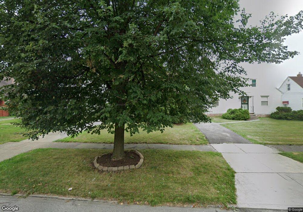
5120 Theodore St Maple Heights, OH 44137
Estimated Value: $128,000 - $153,000
3
Beds
1
Bath
1,680
Sq Ft
$81/Sq Ft
Est. Value
About This Home
This home is located at 5120 Theodore St, Maple Heights, OH 44137 and is currently estimated at $136,805, approximately $81 per square foot. 5120 Theodore St is a home located in Cuyahoga County with nearby schools including Abraham Lincoln Elementary School, Rockside/ J.F. Kennedy School, and Barack Obama School.
Ownership History
Date
Name
Owned For
Owner Type
Purchase Details
Closed on
Nov 5, 1993
Sold by
Toman James J
Bought by
Dunham Johnny D
Current Estimated Value
Purchase Details
Closed on
Aug 6, 1993
Sold by
Toman James J and Toman Lillian W
Bought by
Toman James J
Purchase Details
Closed on
Mar 15, 1985
Sold by
Toman Lillian W
Bought by
Toman James J and Toman Lillian W
Purchase Details
Closed on
Jan 1, 1975
Bought by
Toman Lillian W
Create a Home Valuation Report for This Property
The Home Valuation Report is an in-depth analysis detailing your home's value as well as a comparison with similar homes in the area
Home Values in the Area
Average Home Value in this Area
Purchase History
| Date | Buyer | Sale Price | Title Company |
|---|---|---|---|
| Dunham Johnny D | $69,000 | -- | |
| Toman James J | -- | -- | |
| Toman James J | -- | -- | |
| Toman Lillian W | -- | -- |
Source: Public Records
Tax History Compared to Growth
Tax History
| Year | Tax Paid | Tax Assessment Tax Assessment Total Assessment is a certain percentage of the fair market value that is determined by local assessors to be the total taxable value of land and additions on the property. | Land | Improvement |
|---|---|---|---|---|
| 2024 | $3,342 | $37,065 | $9,100 | $27,965 |
| 2023 | $2,788 | $26,670 | $5,600 | $21,070 |
| 2022 | $2,778 | $26,670 | $5,600 | $21,070 |
| 2021 | $2,965 | $26,670 | $5,600 | $21,070 |
| 2020 | $2,524 | $20,200 | $4,240 | $15,960 |
| 2019 | $2,511 | $57,700 | $12,100 | $45,600 |
| 2018 | $2,387 | $20,200 | $4,240 | $15,960 |
| 2017 | $2,452 | $19,320 | $4,550 | $14,770 |
| 2016 | $2,372 | $19,320 | $4,550 | $14,770 |
| 2015 | $2,831 | $19,320 | $4,550 | $14,770 |
| 2014 | $2,831 | $25,770 | $6,060 | $19,710 |
Source: Public Records
Map
Nearby Homes
- 5210 Theodore St
- 5208 Clement Ave
- 16241 Glenburn Ave
- 5185 Clement Ave
- 5247 Henry St
- 5110 Philip Ave
- 5082 Philip Ave
- 16712 Kollin Ave
- 5212 Catherine St
- 15911 Friend Ave
- 5061 Philip Ave
- 5320 Clement Ave
- 5231 Philip Ave
- 5257 Philip Ave
- 5205 Stanley Ave
- 5031 Cato St
- 17204 Maple Heights Blvd
- 5199 Arch St
- 16312 Sunny Glenn Ave
- 5100 Greenhurst Dr
- 5116 Theodore St
- 5126 Theodore St
- 5112 Theodore St
- 5130 Theodore St
- 5108 Theodore St
- 16608 Raymond St
- 5123 Theodore St
- 5129 Theodore St
- 5134 Theodore St
- 5100 Theodore St
- 16604 Raymond St
- 5109 Theodore St
- 16600 Raymond St
- 5107 Theodore St
- 5131 Theodore St
- 5146 Theodore St
- 5101 Theodore St
- 16512 Raymond St
- 5148 Theodore St
- 16716 Raymond St