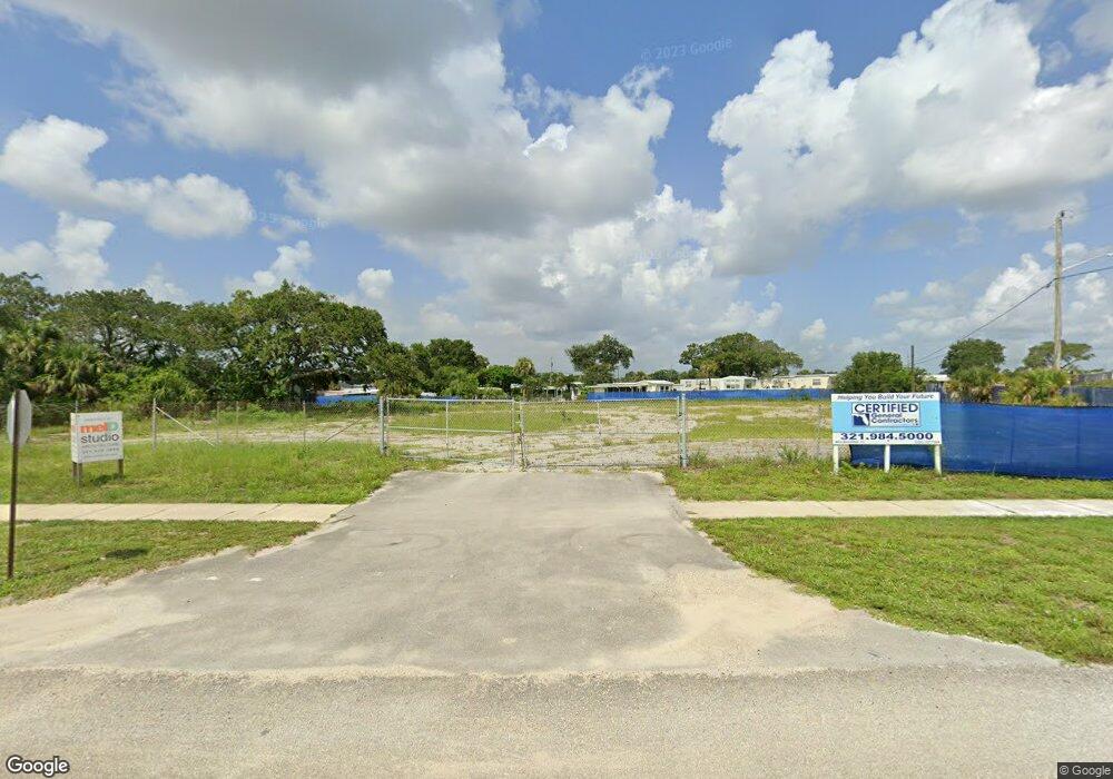
5120 U S Route 1 Unit 102 Melbourne, FL 32935
Estimated Value: $453,000
--
Bed
1
Bath
5,400
Sq Ft
$84/Sq Ft
Est. Value
About This Home
This home is located at 5120 U S Route 1 Unit 102, Melbourne, FL 32935 and is currently priced at $453,000, approximately $83 per square foot. 5120 U S Route 1 Unit 102 is a home located in Brevard County with nearby schools including Dr. W.J. Creel Elementary School, Lyndon B. Johnson Middle School, and Eau Gallie High School.
Ownership History
Date
Name
Owned For
Owner Type
Purchase Details
Closed on
Oct 29, 1998
Sold by
Saini Daljit
Bought by
Sellis George D and Sellis Faye M
Current Estimated Value
Home Financials for this Owner
Home Financials are based on the most recent Mortgage that was taken out on this home.
Original Mortgage
$57,701
Outstanding Balance
$12,617
Interest Rate
6.61%
Mortgage Type
Commercial
Create a Home Valuation Report for This Property
The Home Valuation Report is an in-depth analysis detailing your home's value as well as a comparison with similar homes in the area
Home Values in the Area
Average Home Value in this Area
Purchase History
| Date | Buyer | Sale Price | Title Company |
|---|---|---|---|
| Sellis George D | $325,000 | -- | |
| Sellis George D | -- | -- |
Source: Public Records
Mortgage History
| Date | Status | Borrower | Loan Amount |
|---|---|---|---|
| Open | Sellis George D | $57,701 |
Source: Public Records
Tax History Compared to Growth
Tax History
| Year | Tax Paid | Tax Assessment Tax Assessment Total Assessment is a certain percentage of the fair market value that is determined by local assessors to be the total taxable value of land and additions on the property. | Land | Improvement |
|---|---|---|---|---|
| 2025 | $14,998 | $1,179,540 | -- | -- |
| 2024 | $14,324 | $1,155,650 | -- | -- |
| 2023 | $14,324 | $1,080,500 | $566,280 | $514,220 |
| 2022 | $13,372 | $1,049,250 | $0 | $0 |
| 2021 | $13,959 | $1,007,830 | $566,280 | $441,550 |
| 2020 | $13,815 | $1,004,660 | $566,280 | $438,380 |
| 2019 | $12,817 | $878,490 | $566,280 | $312,210 |
| 2018 | $12,745 | $849,200 | $566,280 | $282,920 |
| 2017 | $12,532 | $800,000 | $0 | $800,000 |
| 2016 | $13,099 | $800,000 | $0 | $0 |
| 2015 | $12,205 | $736,590 | $393,430 | $343,160 |
Source: Public Records
Map
Nearby Homes
- 4459 Utica Cir
- 4438 Utica Cir
- 4527 Coquina Ridge Dr
- 4140 N Highway 1
- 4147 U S Route 1
- 4147 N US Highway 1
- 4630 Amaca Bay Ln
- 4375 Eleanor Dr
- 4007 N Harbor City Blvd Unit 402
- 2002 Elkins Point Dr
- 2244 Saint Dunston Ln
- 1898 Kendall Pointe Place
- 1888 Kendall Pointe Place
- 1808 Kendall Pointe Place
- 2032 Elkins Point
- 2032 Elkins Point Dr
- 1875 Kendall Pointe Place
- 1895 Kendall Pointe Place
- 4385 Doncaster Dr
- 2007 Elkins Point Dr
- 4404 U S 1
- 4404 N Us Highway 1
- 4410 N Us Highway 1
- 4410 U S 1
- 2395 Mobiland Dr Unit 203
- 2395 Mobiland Dr
- 4416 Coquina Ridge Dr
- 4419 Coquina Ridge Dr
- 4424 Coquina Ridge Dr
- 4429 Coquina Ridge Dr
- 4456 Coquina Ridge Dr
- 2033 Mobiland Dr
- 4458 Coquina Ridge Dr
- 4480 Coquina Ridge Dr
- 4479 U S 1
- 4464 Coquina Ridge Dr
- 4479 N Us Highway 1
- 4457 Coquina Ridge Dr
- 4355 U S 1
- 4474 Coquina Ridge Dr
