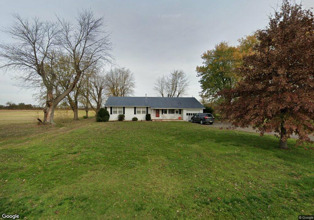
5122 Dante Ave Vineland, NJ 08361
Estimated Value: $239,000 - $340,000
--
Bed
--
Bath
1,446
Sq Ft
$205/Sq Ft
Est. Value
About This Home
This home is located at 5122 Dante Ave, Vineland, NJ 08361 and is currently estimated at $296,091, approximately $204 per square foot. 5122 Dante Ave is a home located in Cumberland County with nearby schools including Anthony Rossi Elementary School, Pauline J. Petway Elementary School, and Vineland Senior High School.
Ownership History
Date
Name
Owned For
Owner Type
Purchase Details
Closed on
Jan 24, 2018
Sold by
Ferrari Robert J
Bought by
Ferrari Robert J and Ferrari Leslie S
Current Estimated Value
Purchase Details
Closed on
Sep 16, 2013
Sold by
Brago Shirley and Estate Of Patrick R Smaniotto
Bought by
Ferrari Robert
Purchase Details
Closed on
May 30, 2012
Sold by
Smaniotto Dominick K Joseph and Estate Of John A Smaniotto
Bought by
Smaniotto Patrick R
Create a Home Valuation Report for This Property
The Home Valuation Report is an in-depth analysis detailing your home's value as well as a comparison with similar homes in the area
Home Values in the Area
Average Home Value in this Area
Purchase History
| Date | Buyer | Sale Price | Title Company |
|---|---|---|---|
| Ferrari Robert J | -- | -- | |
| Ferrari Robert | -- | -- | |
| Smaniotto Patrick R | -- | -- |
Source: Public Records
Tax History Compared to Growth
Tax History
| Year | Tax Paid | Tax Assessment Tax Assessment Total Assessment is a certain percentage of the fair market value that is determined by local assessors to be the total taxable value of land and additions on the property. | Land | Improvement |
|---|---|---|---|---|
| 2025 | $5,235 | $164,400 | $45,000 | $119,400 |
| 2024 | $5,235 | $164,400 | $45,000 | $119,400 |
| 2023 | $5,200 | $164,400 | $45,000 | $119,400 |
| 2022 | $5,045 | $164,400 | $45,000 | $119,400 |
| 2021 | $4,953 | $164,400 | $45,000 | $119,400 |
| 2020 | $4,812 | $164,400 | $45,000 | $119,400 |
| 2019 | $4,746 | $164,400 | $45,000 | $119,400 |
| 2018 | $4,621 | $164,400 | $45,000 | $119,400 |
| 2017 | $4,389 | $164,400 | $45,000 | $119,400 |
| 2016 | $4,235 | $164,400 | $45,000 | $119,400 |
| 2015 | $4,079 | $164,400 | $45,000 | $119,400 |
| 2014 | $3,857 | $164,400 | $45,000 | $119,400 |
Source: Public Records
Map
Nearby Homes
- 2020 S Union Rd
- 2189 Berkeley Dr
- 0 Genoa Ave Unit NJCB2013534
- 3259 S Union Rd
- 5976 Genoa Ave
- 3773 Brookhaven Dr
- 4437 Juniper St
- 4517 Ascher Rd
- 3391 Venturi Ln
- 1670 Tori Ln
- 3327 Dove Ct
- 970 Venezia Ave
- 3294 Hance Bridge Rd
- 2151 S Brookfield St
- 4926 Landis Ave
- 1880 S Brookfield St
- 1535 Bear Branch Ct
- 116 Lejan Terrace
- 0 Ascher Rd
- 3176 Hance Bridge Rd
- 5170 Dante Ave
- 5115 Dante Ave
- 5039 Dante Ave
- 5095 Dante Ave
- 5235 Dante Ave
- 5261 Dante Ave
- 4932 Dante Ave
- 1911 Cornucopia Ave
- 1819 Cornucopia Ave
- 2215 Cornucopia Ave
- 5494 Dante Ave
- 1860 Cornucopia Ave
- 1808 Cornucopia Ave
- 2020 Berkeley Dr
- 2040 Berkeley Dr
- 2070 Berkeley Dr
- 5021 Italia Ave
- 2100 Berkeley Dr
- 2120 Berkeley Dr
- 2140 Berkeley Dr