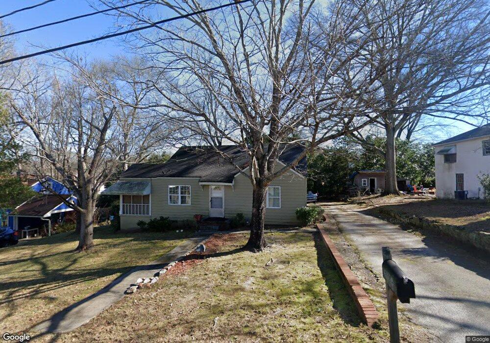
5122 N Dearing St NE Covington, GA 30014
Estimated Value: $158,893 - $213,000
--
Bed
1
Bath
891
Sq Ft
$207/Sq Ft
Est. Value
About This Home
This home is located at 5122 N Dearing St NE, Covington, GA 30014 and is currently estimated at $184,723, approximately $207 per square foot. 5122 N Dearing St NE is a home located in Newton County with nearby schools including East Newton Elementary School, Cousins Middle School, and Eastside High School.
Ownership History
Date
Name
Owned For
Owner Type
Purchase Details
Closed on
Jan 1, 2021
Sold by
Ballard Wd
Bought by
W D Ballard Beloved Wife Trust
Current Estimated Value
Purchase Details
Closed on
Sep 14, 2012
Sold by
Waters W Michael
Bought by
Ballard W D and Mock Nancy
Purchase Details
Closed on
Oct 10, 2011
Sold by
Miller Mark
Bought by
Waters W Michael
Purchase Details
Closed on
Sep 11, 2011
Sold by
Hays Coy E
Bought by
Waters W Michael
Create a Home Valuation Report for This Property
The Home Valuation Report is an in-depth analysis detailing your home's value as well as a comparison with similar homes in the area
Home Values in the Area
Average Home Value in this Area
Purchase History
| Date | Buyer | Sale Price | Title Company |
|---|---|---|---|
| W D Ballard Beloved Wife Trust | -- | -- | |
| Ballard W D | $40,000 | -- | |
| Waters W Michael | -- | -- | |
| Waters W Michael | -- | -- |
Source: Public Records
Tax History Compared to Growth
Tax History
| Year | Tax Paid | Tax Assessment Tax Assessment Total Assessment is a certain percentage of the fair market value that is determined by local assessors to be the total taxable value of land and additions on the property. | Land | Improvement |
|---|---|---|---|---|
| 2024 | $1,643 | $54,400 | $7,298 | $47,102 |
| 2023 | $1,768 | $54,400 | $8,800 | $45,600 |
| 2022 | $727 | $22,360 | $8,800 | $13,560 |
| 2021 | $812 | $22,360 | $8,800 | $13,560 |
| 2020 | $892 | $22,360 | $8,800 | $13,560 |
| 2019 | $909 | $22,360 | $8,800 | $13,560 |
| 2018 | $459 | $22,360 | $6,000 | $16,360 |
| 2017 | $597 | $14,520 | $2,000 | $12,520 |
| 2016 | $630 | $15,320 | $2,800 | $12,520 |
| 2015 | $625 | $15,200 | $2,000 | $13,200 |
| 2014 | $625 | $15,200 | $0 | $0 |
Source: Public Records
Map
Nearby Homes
- 5130 N Dearing St NE
- 4105 Rose Ln NE
- 4217 Elizabeth St NE
- 5139 West Dr NE
- 4128 Elizabeth St NE
- 4181 A&B Floyd St NE
- 6127 Floyd St NE
- 5118 Floyd St NE
- 6104 Floyd St NE
- 0 Highway 278 NE Unit 10595588
- 5150 Wheat St NE
- 3127 Mill St SE
- 3149 Thompson Ave SE
- 3112 Floyd St NE
- 3183 Conyers St SE
- 6192 Collins St NE
- 6193 Collins St NE
- 4187 Cherry Laurel Dr SE
- 2173 Anderson Ave SE
- 2133 Thompson Ave SE
- 5114 N Dearing St NE
- 5149 Hartsook Dr NE
- 5159 Hartsook Dr NE
- 5159 Hartsook Dr NE Unit 12
- 5165 Hartsook Dr NE
- 5138 N Dearing St NE
- 4185 Phedora St NE
- 5104 N Dearing St NE
- 4143 Rose Ln NE
- 5141 Hartsook Dr NE
- 0 Hartsook Dr NE Unit 7450753
- 0 Hartsook Dr NE Unit 7011999
- 0 Hartsook Dr NE Unit 7412927
- 0 Hartsook Dr NE Unit 7366834
- 5171 Hartsook Dr NE
- 4134 Rose Ln NE
- 0 Rose Ln NE
- 4179 Phedora St NE
- 5177 Hartsook Dr NE
- 4133 Rose Ln NE